
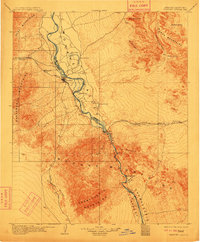
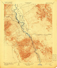
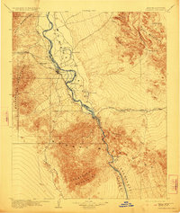
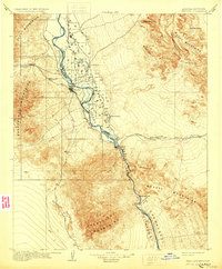
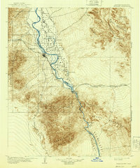
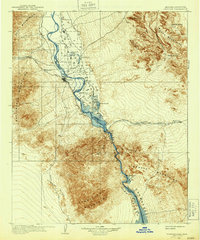
1904 Map of Needles Special
USGS Topo · Published 1904About this map
The Colorado River carves a critical path through the Mohave Valley at the beginning of the twentieth century, serving as the border between Arizona and California. The town of Needles emerges as a central hub for the Atchison Topeka and Santa Fe RR, which follows the path of the Sacramento Wash across the desert toward Java and Khartoum. The landscape is dominated by the stark contrast between the alluvial floor and the surrounding ranges, including the Black Mountains and Chemehuevis Mountains. Water remains the defining resource of the era, seen in small basins like Willow Pond and Mud Lake. Further south, the river narrows through Mohave Canyon near the distinctive formations of The Needles, a point of interest for early travelers and river navigators. The presence of the Parker Road suggests early overland travel routes connecting the rail stops to the interior desert.
Find a feature on this map
37 named features on this map. Tap any name to fly to it.
Don’t see what you’re looking for? This feature index may not catch every label — zoom into the map to look around manually.
Map Details
Editions of this 1904 Needles Special Map
7 editions found
Other maps of this area

1886 · Camp Mohave
USGS Topo · 1:250,000

1892 · Camp Mohave
USGS Topo · 1:250,000

1903 · Needles
USGS Topo · 1:125,000

1911 · Parker
USGS Topo · 1:125,000

1926 · Mohave City
USGS Topo · 1:96,000

1927 · Yucca
USGS Topo · 1:62,500

1927 · Buck Mountains
USGS Topo · 1:62,500

1929 · Buck Mountains
USGS Topo · 1:62,500

1929 · Yucca
USGS Topo · 1:62,500

1942 · Camp Mohave
USGS Topo · 1:250,000