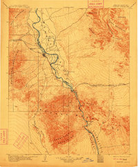
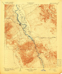
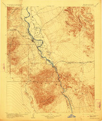
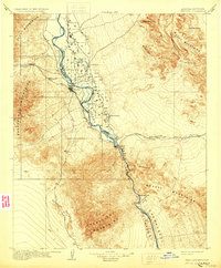
1904 Map of Needles Special
USGS Topo · Published 1911About this map
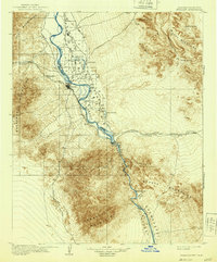
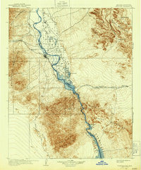
The Colorado River carves a critical corridor through the desert in this 1904 survey, serving as the definitive border between California and Arizona. At the heart of the Mohave Valley, the town of Needles emerges as a vital railroad hub where the Atchison Topeka and Santa Fe RR crosses the water. This rail line dictates the placement of early desert outposts like Java and Khartoum to the west, and Powell and Franconia to the east, illustrating how steam-era transportation established the first permanent footholds in the arid basin.
Find a feature on this map
36 named features on this map. Tap any name to fly to it.
Don’t see what you’re looking for? This feature index may not catch every label — zoom into the map to look around manually.
Map Details
Editions of this 1904 Needles Special Map
7 editions found
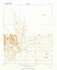
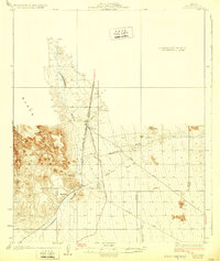
Other maps of this area

1886 · Camp Mohave
USGS Topo · 1:250,000

1892 · Camp Mohave
USGS Topo · 1:250,000

1903 · Needles
USGS Topo · 1:125,000

1904 · Needles Special
USGS Topo · 1:125,000

1911 · Parker
USGS Topo · 1:125,000

1926 · Mohave City
USGS Topo · 1:96,000
1927 · Yucca
USGS Topo · 1:62,500

1927 · Buck Mountains
USGS Topo · 1:62,500

1929 · Buck Mountains
USGS Topo · 1:62,500
1929 · Yucca
USGS Topo · 1:62,500