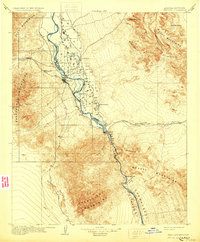
1904 Map of Needles
USGS Topo · Published 1930About this map
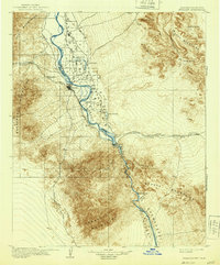
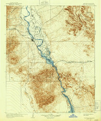
The Colorado River serves as the central artery for this desert landscape at the turn of the century, defining the border between California and Arizona. The Fort Mohave IR dominates the northern river valley, while the town of Needles emerges as a critical rail hub where the Atchison Topeka and Santa Fe railroad crosses the terrain. This early survey captures the river's original path before modern channelization, showing a series of oxbows and seasonal features like Spears Lake, Mud Lake, and Willow Pond.
Find a feature on this map
37 named features on this map. Tap any name to fly to it.
Don’t see what you’re looking for? This feature index may not catch every label — zoom into the map to look around manually.
Map Details
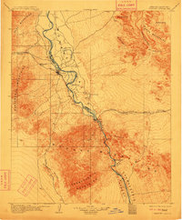
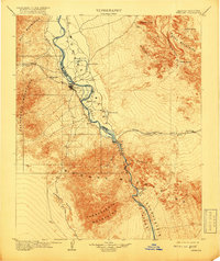
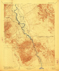
Editions of this 1904 Needles Map
7 editions found
Other maps of this area

1886 · Camp Mohave
USGS Topo · 1:250,000

1892 · Camp Mohave
USGS Topo · 1:250,000

1903 · Needles
USGS Topo · 1:125,000

1904 · Needles Special
USGS Topo · 1:125,000

1911 · Parker
USGS Topo · 1:125,000

1926 · Mohave City
USGS Topo · 1:96,000

1927 · Yucca
USGS Topo · 1:62,500

1927 · Buck Mountains
USGS Topo · 1:62,500

1929 · Buck Mountains
USGS Topo · 1:62,500

1929 · Yucca
USGS Topo · 1:62,500