Old Maps of Willow Beach, Arizona for Metal Detecting
Plan your next treasure hunt with 18 historic maps of Willow Beach. Find old homesites, ghost towns, trails, and gathering spots that may be lost to time — perfect for identifying promising metal detecting locations.
- Locate forgotten sites: Uncover places like long-lost settlements, abandoned rail lines, or gathering spots.
- Plan better hunts: Use map overlays combined with LiDAR or satellite views to narrow in on historically rich areas.
- Made for detectorists: Thousands of hobbyists use these maps to discover relics, coins, and hidden history.
Use these historic maps to boost your research and find new opportunities beneath the surface of Willow Beach.
Willow Beach, AZ maps
(18)- 1886 Map of Camp Mohave
 1886 Camp Mohave1886 Print · USGSThe Colorado River and the Cerbat mining districts define this territory during the mid-1880s. Genealogists and historians can trace the early rail stops at Kingman and Beale, or find the locations of frontier mining camps like Chloride and Mineral Park.
 - 1892 Map of Camp Mohave
 1892 Camp Mohave1892 Print · USGSThe Colorado River frontier in the 1890s reveals a network of isolated mining camps and military outposts. Trace the early river-crossing economy and mining boomtowns through Eldorado Ferry, the Patterson Mine, and the military station at Camp Mohave.8 unique versions available
 - 1926 Map of Nelson
 1926 Nelson1926 Print · USGSThe Colorado River borderlands in the mid-twenties appear here as a landscape of desert canyons and future infrastructure. Researchers can trace the original river course through Eldorado Canyon and locate early sites like Nelson and the Middle Black Canyon Dam Site.
 - 1942 Map of Camp Mohave
 1942 Camp Mohave1942 Print · USGSThe tri-state borderlands of Nevada, Arizona, and California are captured here in the early 1940s, highlighting a landscape of deep canyons and high-desert mining camps. Researchers can trace historic rail lines and find remote outposts like Searchlight, Nelson, and the riverfront Fort Mohave Indian Reservation.
 - 1947 Map of Kingman, 1948 Print
 1947 Kingman1948 Print · USGSThe tri-state Mojave desert region comes into focus during the late 1940s, as post-war travel began to surge along U S 66. Genealogists and historians can trace the mining-and-rail economy through the Atchison Topeka and Santa Fe line, the Copper World Mine, and old settlements like Oatman or Goodsprings.2 unique versions available
 - 1948 Map of Kingman
 1948 Kingman1948 Print · USGSThe Mojave Desert at the dawn of the fifties shows a landscape of deep canyons and booming mines along the Arizona and Nevada border. Genealogists and historians can trace rail-stop towns and mining claims like Oatman, Searchlight, and the Mohawk Mine.
 - 1954 Map of Kingman, 1964 Print
 1954 Kingman1964 Print · USGSThe High Desert borderlands come to life in the mid-fifties, showing the intersection of mining legacies and massive river projects. Researchers can trace old rail stops like Roach Station, mining sites such as Chloride, and river landmarks like Searchlight Ferry.4 unique versions available
 - 1955 Map of Kingman
 1955 Kingman1955 Print · USGSThe Mojave Desert and Colorado River corridor come alive in the mid-fifties, showing a landscape of mining camps and rail junctions. Trace the river to the Searchlight Ferry or locate old desert mining sites like Goldroad and the Great Monster Mine.
 - 1958 Map of Kingman
 1958 Kingman1958 Print · USGSThe tri-state desert borders of Arizona, Nevada, and California are shown in the late fifties as a network of mining camps and river crossings. Genealogists and historians can trace the legacy of remote outposts like Oatman, Chloride, and the Searchlight Ferry along the Colorado River.2 unique versions available
 - 1959 Map of Willow Beach, 1960 Print
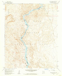 1959 Willow Beach1960 Print · USGSThe Colorado River corridor at the Arizona-Nevada border is shown in detail during the late fifties, highlighting the early development of the Black Canyon National Recreation Area. Local historians can trace the topography of the El Dorado Mountains and locate landmarks like Willow Beach, Copper Basin, and The Caves.3 unique versions available
 - 1959 Map of Black Canyon, 1961 Print
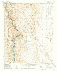 1959 Black Canyon1961 Print · USGSThe Colorado River corridor along the Arizona-Nevada border comes alive in the late fifties, showcasing the early infrastructure of the Lake Mead National Recreation Area. Researchers can trace the river's path through Ringbolt Rapids and locate isolated sites like the Two Bs Mine or the State Fish Hatchery.3 unique versions available
 - 1960 Map of Kingman
 1960 Kingman1960 Print · USGSThe high desert landscape of the Arizona-Nevada border comes alive in the mid-twentieth century, showcasing the rise of recreation alongside deep-rooted mining history. Genealogists and historians can trace the roots of towns like Kingman and Oatman, or locate remote sites like the Lucky Dutchman Mine and Santa Claus.3 unique versions available
 - 1983 Map of Boulder City
 1983 Boulder City1983 Print · USGSThe Nevada-Arizona borderlands come alive in the early 1980s, centered on the Colorado River and the industrial activity of the surrounding ranges. Researchers can locate dozens of historic prospects such as the Klondyke Mine, Liberty Mine, and Dixie Queen Mine.2 unique versions available
 - 2011 Map of Willow Beach, 2011 Print
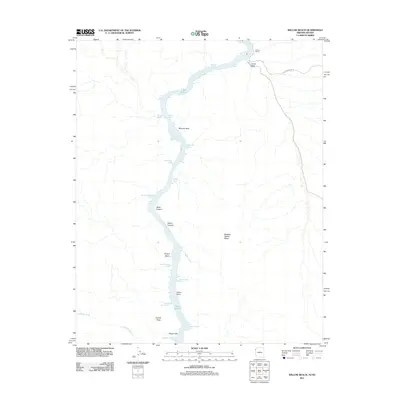 2011 Willow Beach2011 Print · USGSThe Colorado River corridor along the Arizona-Nevada border is captured here in the early twenty-first century. Boaters and desert researchers can trace the intricate shoreline from Willow Beach through Black Canyon, identifying remote spots like Monkey Hole and Fenlon Bend.
 - 2014 Map of Willow Beach, 2014 Print
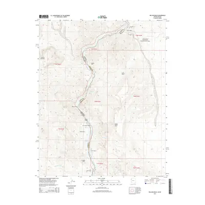 2014 Willow Beach2014 Print · USGSThe desert borderlands between Arizona and Nevada are captured here as the Colorado River flows through the heart of the Lake Mead National Recreation Area. Researchers can trace the river's path through Black Canyon and find landmarks like Monkey Rock and the Chalk Cliffs.
 - 2018 Map of Willow Beach, 2018 Print
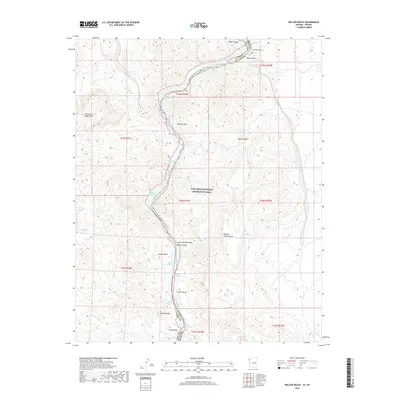 2018 Willow Beach2018 Print · USGSThe Colorado River corridor south of Hoover Dam is documented here in the late twenty-teens, showing the intricate coves and rapids of Black Canyon. Boaters and researchers can track named river features like Roaring Rapids, Monkey Rock, and the remote Nevada Sheep Cove.
 - 2021 Map of Willow Beach, 2021 Print
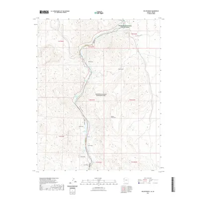 2021 Willow Beach2021 Print · USGSThe Colorado River corridor near the Nevada-Arizona border is captured here in the early twenty-first century. Outdoor enthusiasts and historians can trace the topography of Black Canyon, the Willow Beach National Fish Hatchery, and the Eldorado Mountains.
 - 2023 Map of Willow Beach, 2023 Print
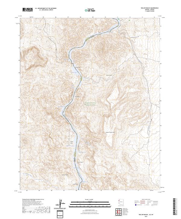 2023 Willow Beach2023 Print · USGSThe Colorado River corridor along the Arizona-Nevada border is shown here in the early twenty-first century, featuring the Willow Beach National Fish Hatchery. Outdoor researchers can trace the river's path from Roaring Rapids to Fenlon Bend, passing landmarks like Monkey Rock and Copper Basin.
End of results
Showing maps 1-18 of 18
Top cities near Willow Beach
Frequently asked questions
- What are the different types of historical maps available for Willow Beach?
- What is the oldest map of Willow Beach?
- Where can I purchase historical maps of Willow Beach for my home or office?
- Where can I download high-res historical maps of Willow Beach?
- Are there historical topographic maps available for Willow Beach?
- Is there historical aerial imagery available for Willow Beach?
- Where are historical maps of Willow Beach sourced from?