Old Maps of Arntz, Arizona
Explore 14 old maps of Arntz, spanning from 1886 to today. These high-resolution historic maps reveal how streets, neighborhoods, landmarks, and natural features evolved over time — perfect for genealogy, metal detecting, research, and local history exploration.
What you can do with these maps:
- See how Arntz changed over time: Compare historical maps to modern-day views to trace roads, homesites, rail lines & more.
- View detailed metadata: Each map includes creators, publishers, year, scale, and archive source.
- Overlay maps with satellite & LiDAR: Visualize the past alongside modern tools to explore terrain & human change.
- Trusted historical sources: Maps sourced from the USGS, Library of Congress, and other archives.
- Access maps your way: View online, download high-res files, or order prints for personal or research use.
Start exploring old maps of Arntz to uncover forgotten places, hidden landmarks, and the deep history beneath your feet.
Arntz, AZ maps
(14)- 1886 Map of Holbrook
 1886 Holbrook1886 Print · USGSArizona's high desert and the Mogollon Rim frontier are captured here in the late nineteenth century during the height of early pioneer settlement. Trace the growth of river towns like Holbrook and Snowflake or locate remote outposts such as Wilford, Adair, and Heber.
 - 1893 Map of Holbrook
 1893 Holbrook1893 Print · USGSNortheastern Arizona in the 1880s reveals a landscape of nascent ranching towns and deep canyon systems along the high plateau. Genealogists and historians can trace the early footprints of Holbrook, Snowflake, and Showlow as they appeared before the turn of the century.4 unique versions available
 - 1954 Map of Holbrook, 1966 Print
 1954 Holbrook1966 Print · USGSNorth-central Arizona is seen here during the mid-fifties, from the high plateau of the Mogollon Rim to the Verde Valley. Researchers can trace the early growth of Holbrook, locate remote camps like Happy Jack, and explore the roads around Montezuma Castle National Monument.3 unique versions available
 - 1955 Map of St. Joseph 1 NE, 1957 Print
 1955 St. Joseph 1 NE1957 Print · USGSThe high desert of Navajo County in the mid-fifties is defined here by the confluence of the Puerco River and the Little Colorado River. Researchers can trace the railroad stop at Arntz and locate early ranching infrastructure like a Windmill or the Navajo Indian Reservation Bdy.
 - 1955 Map of Holbrook, 1959 Print
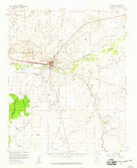 1955 Holbrook1959 Print · USGSHolbrook and the surrounding Navajo County high desert are captured here in the mid-1950s during a period of transition and growth. Genealogists and historians can trace rail-side stops like Penzance and Arntz, or locate institutions such as the Yalta Indian School and Navajo Mission School.2 unique versions available
 - 1957 Map of Holbrook
 1957 Holbrook1957 Print · USGSNorthern Arizona in the mid-fifties is defined by the high-plateau timberlands and the bustling rail corridor of the Little Colorado River valley. Genealogists and historians can trace the route of U.S. 66 through Holbrook or locate more remote outposts like Zeniff and Aripine.
 - 1958 Map of Holbrook
 1958 Holbrook1958 Print · USGSNortheastern Arizona's high country is captured here during the mid-fifties, showing the growth of mountain towns and timber lands. Researchers can trace the Atchison Topeka & Santa Fe RR through Holbrook or find vanished spots like Zeniff.
 - 1960 Map of Holbrook
 1960 Holbrook1960 Print · USGSNorthern Arizona is captured here just as modern highways began to reshape the cattle and timber country of the Colorado Plateau. Genealogists and historians can trace the early footprints of Snowflake, Sedona, and Payson, alongside the Atchison Topeka & Santa Fe RR rail line.
 - 1980 Map of Holbrook, 1996 Print
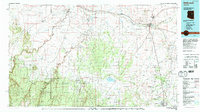 1980 Holbrook1996 Print · USGSHolbrook and the surrounding Navajo County high desert are captured here in the early eighties, showcasing a landscape of rail-driven commerce and ranching. Researchers can trace the Atchison Topeka and Santa Fe RR through Penzance or locate historical points like Mormon Crossing and Rock Station.2 unique versions available
 - 1986 Map of Sun Valley
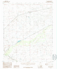 1986 Sun Valley1986 Print · USGSThe high desert of Navajo County comes into focus in the mid-1980s as a vital transportation corridor. You can trace the path of the Atchison Topeka and Santa Fe railroad past Sun Valley and follow the sandy banks of the Puerco River.
 - 2011 Map of Sun Valley, 2011 Print
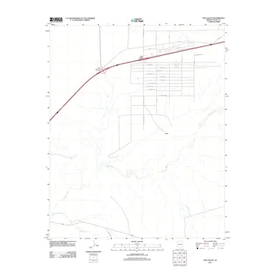 2011 Sun Valley2011 Print · USGSThe High Desert landscape of Navajo County appears in the early twenty-first century as a growing network of residential grids and river crossings. Researchers can trace the development of Sun Valley and Arntz or follow the paths of the Puerco River and Little Colorado River.
 - 2014 Map of Sun Valley, 2014 Print
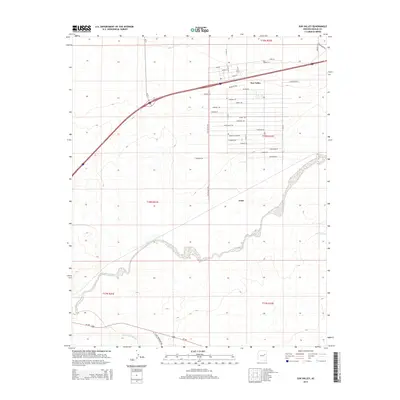 2014 Sun Valley2014 Print · USGSArntz and Sun Valley are captured in Navajo County during the early twenty-first century, showing a desert landscape shaped by major rivers. Trace the residential growth along Stagecoach Rd and Stampede Rd near the Puerco River.
 - 2018 Map of Sun Valley, 2018 Print
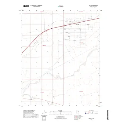 2018 Sun Valley2018 Print · USGSNavajo County residential development meets the high desert in this 2018 survey of the Painted Desert's edge. Genealogists and researchers can trace the street grids of Sun Valley and locate landmarks like Arntz, Horse Head Xing, and the Puerco River banks.
 - 2021 Map of Sun Valley, 2021 Print
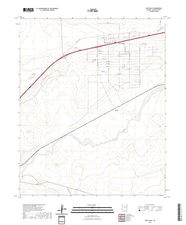 2021 Sun Valley2021 Print · USGSNavajo County's high desert landscape is documented here in the early twenty-first century as the community of Sun Valley continues its growth. Researchers can trace the path of the Puerco River and locate local landmarks like Arntz and Horse Head Xing.
End of results
Showing maps 1-14 of 14
Top cities near Arntz
Frequently asked questions
- What are the different types of historical maps available for Arntz?
- What is the oldest map of Arntz?
- Where can I purchase historical maps of Arntz for my home or office?
- Where can I download high-res historical maps of Arntz?
- Are there historical topographic maps available for Arntz?
- Is there historical aerial imagery available for Arntz?
- Where are historical maps of Arntz sourced from?