Old Maps of Grasshopper, Arizona for Hiking & Exploration
Hike through history with 14 historic maps of Grasshopper. Explore old trails, ghost towns, and forgotten backroads — perfect for outdoor adventurers and local explorers.
- Rediscover forgotten places: Map out old mining camps, roads, and footpaths that no longer exist on modern maps.
- Layer with modern tools: Combine with LiDAR or satellite views to plan hikes through historical terrain.
- Made for exploration: Popular among hikers, overlanders, and local history lovers.
Use these maps to find adventure and explore the hidden past of Grasshopper.
Grasshopper, AZ maps
(14)- 1886 Map of Holbrook
 1886 Holbrook1886 Print · USGSArizona's high desert and the Mogollon Rim frontier are captured here in the late nineteenth century during the height of early pioneer settlement. Trace the growth of river towns like Holbrook and Snowflake or locate remote outposts such as Wilford, Adair, and Heber.
 - 1893 Map of Holbrook
 1893 Holbrook1893 Print · USGSNortheastern Arizona in the 1880s reveals a landscape of nascent ranching towns and deep canyon systems along the high plateau. Genealogists and historians can trace the early footprints of Holbrook, Snowflake, and Showlow as they appeared before the turn of the century.4 unique versions available
 - 1954 Map of Holbrook, 1966 Print
 1954 Holbrook1966 Print · USGSNorth-central Arizona is seen here during the mid-fifties, from the high plateau of the Mogollon Rim to the Verde Valley. Researchers can trace the early growth of Holbrook, locate remote camps like Happy Jack, and explore the roads around Montezuma Castle National Monument.3 unique versions available
 - 1957 Map of Holbrook
 1957 Holbrook1957 Print · USGSNorthern Arizona in the mid-fifties is defined by the high-plateau timberlands and the bustling rail corridor of the Little Colorado River valley. Genealogists and historians can trace the route of U.S. 66 through Holbrook or locate more remote outposts like Zeniff and Aripine.
 - 1958 Map of Holbrook
 1958 Holbrook1958 Print · USGSNortheastern Arizona's high country is captured here during the mid-fifties, showing the growth of mountain towns and timber lands. Researchers can trace the Atchison Topeka & Santa Fe RR through Holbrook or find vanished spots like Zeniff.
 - 1960 Map of Holbrook
 1960 Holbrook1960 Print · USGSNorthern Arizona is captured here just as modern highways began to reshape the cattle and timber country of the Colorado Plateau. Genealogists and historians can trace the early footprints of Snowflake, Sedona, and Payson, alongside the Atchison Topeka & Santa Fe RR rail line.
 - 1961 Map of Chediski Peak, 1963 Print
 1961 Chediski Peak1963 Print · USGSNavajo and Gila counties are shown here in the early 1960s, documenting the high-country landscape of the Fort Apache Indian Reservation. Genealogists and historians can trace old ranching infrastructure and remote sites like Grasshopper, Oak Creek Ranch, and the Chediski Peak Lookout.2 unique versions available
 - 1977 Map of Oak Creek Ranch, 1978 Print
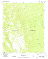 1977 Oak Creek Ranch1978 Print · USGSThe Fort Apache Indian Reservation is captured here in the late 1970s, documenting a landscape of remote ranching and ancient sites. Genealogists and historians can trace the paths of the Gentry Trail and locate landmarks like Oak Creek Ranch and the Ruins near Grasshopper.
 - 1981 Map of Show Low, 1982 Print
 1981 Show Low1982 Print · USGSThe Mogollon Rim highlands in the early eighties were a landscape of forest service outposts and remote reservation settlements. Local historians can trace the foundations of Show Low and Snowflake, or locate family sites near Cibecue and Heber.2 unique versions available
 - 2011 Map of Oak Creek Ranch, 2011 Print
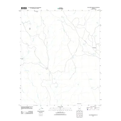 2011 Oak Creek Ranch2011 Print · USGSThe Fort Apache Indian Reservation is captured here in the early twenty-first century, centered on high-country ranching and tribal lands. Researchers can locate remote landmarks such as Grasshopper, Oak Creek Ranch, and the evocative Cliff Dwelling Tank.
 - 2014 Map of Oak Creek Ranch, 2014 Print
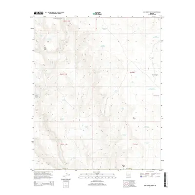 2014 Oak Creek Ranch2014 Print · USGSNavajo County ranching country and canyonlands are captured here in the early twenty-first century. Researchers can trace land use patterns through features like the Cliff Dwelling near Oak Creek and livestock infrastructure including One Mile Tanks and Grasshopper.
 - 2018 Map of Oak Creek Ranch, 2018 Print
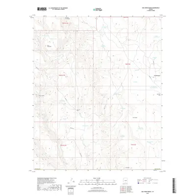 2018 Oak Creek Ranch2018 Print · USGSNavajo County ranch lands are documented here in the early twenty-first century, showing the remote settlement of Grasshopper. Researchers can trace tribal roads and local water management through features like Indian Rte 12, Oak Creek Ranch, and the Cliff Dwelling Tank.
 - 2021 Map of Oak Creek Ranch, 2021 Print
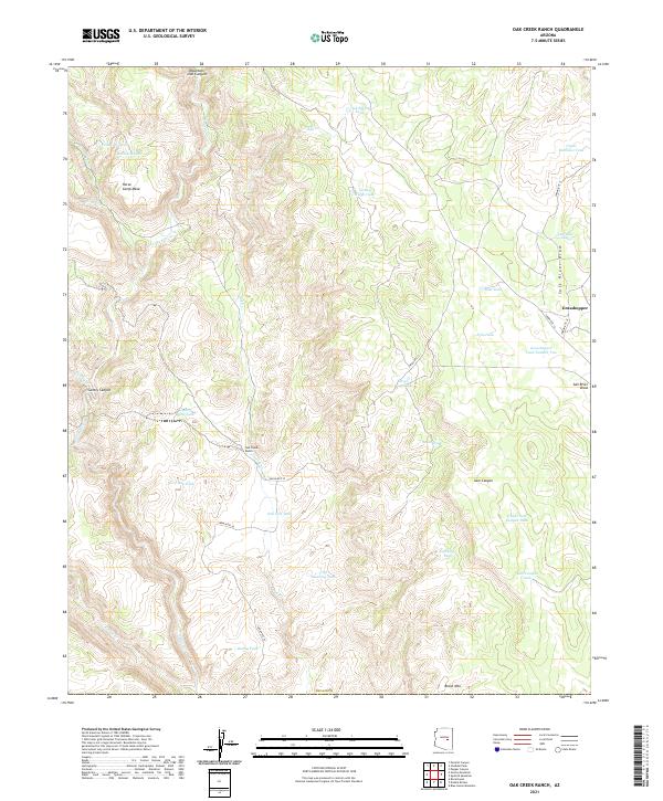 2021 Oak Creek Ranch2021 Print · USGSThe mesas and canyons of Navajo County are mapped here in the modern era, showing the remote settlement of Grasshopper and Oak Creek Ranch. Trace the essential water infrastructure of this cattle country through Cliff Dwelling Tank and Turkey Ridge Tank.
 - 2026 Map of Oak Creek Ranch, 2026 Print
 2026 Oak Creek Ranch2026 Print · USGSCovers Grasshopper, including Navajo County, Gila County, and other nearby areas
End of results
Showing maps 1-14 of 14
Frequently asked questions
- What are the different types of historical maps available for Grasshopper?
- What is the oldest map of Grasshopper?
- Where can I purchase historical maps of Grasshopper for my home or office?
- Where can I download high-res historical maps of Grasshopper?
- Are there historical topographic maps available for Grasshopper?
- Is there historical aerial imagery available for Grasshopper?
- Where are historical maps of Grasshopper sourced from?