Old Maps of Kayenta, Arizona for Hiking & Exploration
Hike through history with 16 historic maps of Kayenta. Explore old trails, ghost towns, and forgotten backroads — perfect for outdoor adventurers and local explorers.
- Rediscover forgotten places: Map out old mining camps, roads, and footpaths that no longer exist on modern maps.
- Layer with modern tools: Combine with LiDAR or satellite views to plan hikes through historical terrain.
- Made for exploration: Popular among hikers, overlanders, and local history lovers.
Use these maps to find adventure and explore the hidden past of Kayenta.
Kayenta, AZ maps
(16)- 1883 Map of Marsh Pass
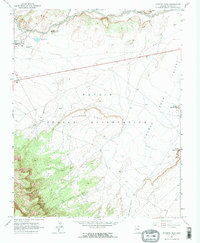
 1883 Marsh Pass1883 Print · USGSNortheastern Arizona was a complex labyrinth of mesas and canyons when this survey was conducted in the early 1880s. Researchers can locate critical desert water sources like Na-pai-bi-to Spring Lake and landmarks like Aga-thla Needle.
 - 1892 Map of Marsh Pass
 1892 Marsh Pass1892 Print · USGSNortheastern Arizona and the Navajo lands are shown in the late nineteenth century as a series of immense mesas and critical water sources. You can trace early trails through Marsh Pass and locate remote landmarks like the Agathla Needle or Chil-Chi-Vi-To Spring.4 unique versions available
 - 1956 Map of Marble Canyon, 1964 Print
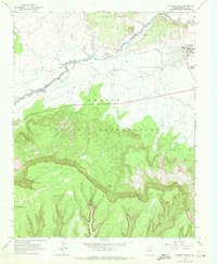
 1956 Marble Canyon1964 Print · USGSNorthern Arizona and the borderlands of Utah are mapped here in the mid-fifties, showing a landscape defined by traditional trading posts and early uranium mining. Trace old routes between Tuba City and Kayenta, and locate historic sites like Lees Ferry and Inscription House Trading Post.4 unique versions available
 - 1959 Map of Marble Canyon
 1959 Marble Canyon1959 Print · USGSNorthern Arizona in the late fifties is a vast landscape of tribal lands and desert plateaus defined by the carving of the Colorado River. Trace family roots and regional history at Tuba City, the Chilchinbito Trading Post, or the ancient Inscription House Ruin.
 - 1961 Map of Marble Canyon
 1961 Marble Canyon1961 Print · USGSThe northern Arizona desert in the early sixties reveals a landscape of tribal lands and canyon crossings. Trace the old river life at Lees Ferry, find the Uranium mill at Tuba City, and locate the iconic Elephant Feet landmarks.
 - 1968 Map of Kayenta East, 1971 Print
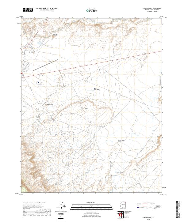
 1968 Kayenta East1971 Print · USGSThe Navajo Nation community of Kayenta is captured in the late sixties, showcasing its schools and regional infrastructure. Genealogists and historians can trace local landmarks like the Cem, Monument Valley High Sch, and the distinctive Church Rock.2 unique versions available
 - 1968 Map of Kayenta West, 1971 Print
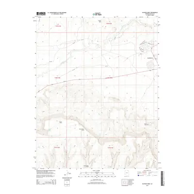
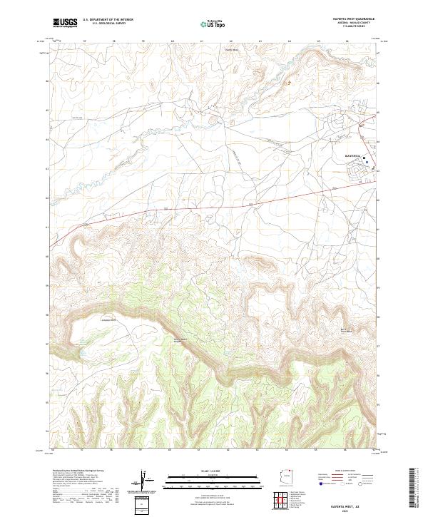
 1968 Kayenta West1971 Print · USGSThe high desert community of Kayenta and the surrounding Navajo Indian Reservation are documented here during the late sixties. Genealogists and local historians can locate the Graves site, the Rodeo Ground, and numerous natural water sources like Tees Spa Spring.2 unique versions available
 - 1984 Map of Kayenta
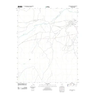
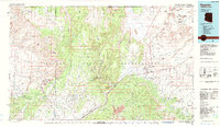 1984 Kayenta1984 Print · USGSThe Navajo Nation in the mid-1980s reveals a landscape of massive sandstone mesas and ancient monuments. Researchers can trace the development of Kayenta and find landmarks like Yellow Water Mine, Goulding Well, and the Navajo National Monument.
 - 2011 Map of Kayenta East, 2011 Print
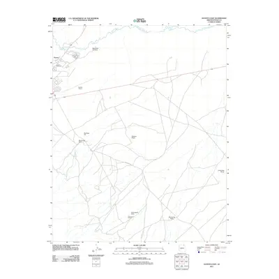 2011 Kayenta East2011 Print · USGSCovers Kayenta, including Navajo County, United States, and other nearby areas
 - 2011 Map of Kayenta West, 2011 Print
 2011 Kayenta West2011 Print · USGSCovers Kayenta, including Navajo County, United States, and other nearby areas
 - 2014 Map of Kayenta West, 2014 Print
 2014 Kayenta West2014 Print · USGSCovers Kayenta, including Navajo County, United States, and other nearby areas
 - 2014 Map of Kayenta East, 2014 Print
 2014 Kayenta East2014 Print · USGSCovers Kayenta, including Navajo County, United States, and other nearby areas
 - 2018 Map of Kayenta East, 2018 Print
 2018 Kayenta East2018 Print · USGSCovers Kayenta, including Navajo County, United States, and other nearby areas
 - 2018 Map of Kayenta West, 2018 Print
 2018 Kayenta West2018 Print · USGSCovers Kayenta, including Navajo County, United States, and other nearby areas
 - 2021 Map of Kayenta East, 2021 Print
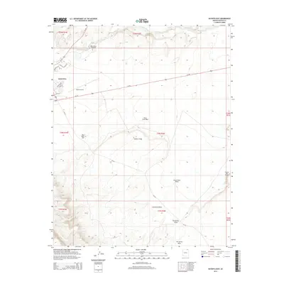
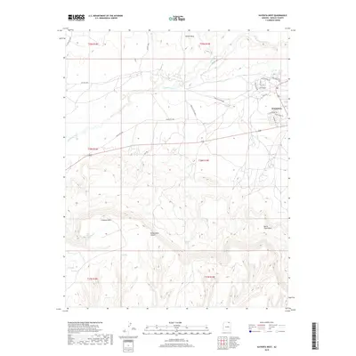
 2021 Kayenta East2021 Print · USGSNavajo County's high desert landscape is documented here in the early twenty-first century, showing the intersection of major routes and traditional landmarks. Trace the terrain from Kayenta Airport to features like Black Rock Standing and Church Rock Valley.
 - 2021 Map of Kayenta West, 2021 Print
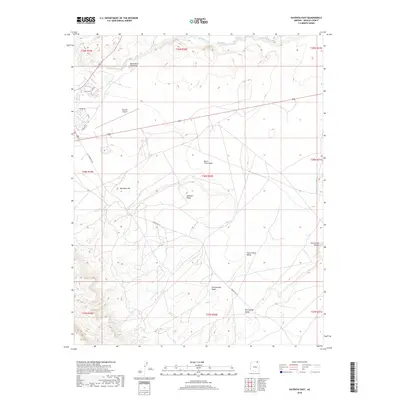
 2021 Kayenta West2021 Print · USGSKayenta and the surrounding Navajo Nation lands are shown here as they appeared in the early 2020s. Genealogists and desert historians can trace the local road network and vital water sources like Little Shonto Spring and Laguna Creek beneath the heights of Tyende Mesa.
End of results
Showing maps 1-16 of 16
Top cities near Kayenta
Frequently asked questions
- What are the different types of historical maps available for Kayenta?
- What is the oldest map of Kayenta?
- Where can I purchase historical maps of Kayenta for my home or office?
- Where can I download high-res historical maps of Kayenta?
- Are there historical topographic maps available for Kayenta?
- Is there historical aerial imagery available for Kayenta?
- Where are historical maps of Kayenta sourced from?