Old Maps of Rainbow City, Arizona for Metal Detecting
Plan your next treasure hunt with 12 historic maps of Rainbow City. Find old homesites, ghost towns, trails, and gathering spots that may be lost to time — perfect for identifying promising metal detecting locations.
- Locate forgotten sites: Uncover places like long-lost settlements, abandoned rail lines, or gathering spots.
- Plan better hunts: Use map overlays combined with LiDAR or satellite views to narrow in on historically rich areas.
- Made for detectorists: Thousands of hobbyists use these maps to discover relics, coins, and hidden history.
Use these historic maps to boost your research and find new opportunities beneath the surface of Rainbow City.
Rainbow City, AZ maps
(12)- 1954 Map of Clifton, 1968 Print
 1954 Clifton1968 Print · USGSThe high timber and copper country of the Arizona-New Mexico border is captured here during the mid-fifties. Genealogists and historians can trace family holdings like the Double Circle Ranch or study the industrial footprint of the Smelting Plant at Clifton.3 unique versions available
 - 1957 Map of Clifton
 1957 Clifton1957 Print · USGSThe copper-mining district around Clifton and Morenci meets the high timberlands of the Mogollon Rim during the mid-1950s. Genealogists and researchers can trace family-named outposts and remote mountain settlements like Reserve, Stargo, and Fort Thomas.
 - 1958 Map of Clifton
 1958 Clifton1958 Print · USGSThe rugged high country of the Arizona-New Mexico border comes into focus in the mid-fifties, showing a landscape of mining camps and forest outposts. Genealogists and researchers can trace old settlements and remote sites like Mogollon, East Fork Mission, and the Tidwell Mine.
 - 1962 Map of Clifton
 1962 Clifton1962 Print · USGSThe copper-rich Arizona-New Mexico borderlands come into focus in the early sixties, centered on the mining complexes of Morenci and Clifton. Researchers can trace the Southern Pacific rail lines and locate remote outposts like Honeymoon and the Double Circle Ranch.
 - 1967 Map of Whiteriver, 1971 Print
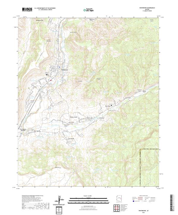
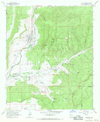 1967 Whiteriver1971 Print · USGSThe White Mountains of Arizona come into focus in the late sixties, centered on the Whiteriver and Fort Apache communities. Researchers can trace the layout of the Theodore Roosevelt Indian Sch, the East Fork Mission, and several local burial grounds like Bush Flat Cemetery.
 - 1978 Map of Whiteriver
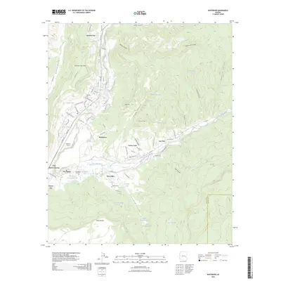
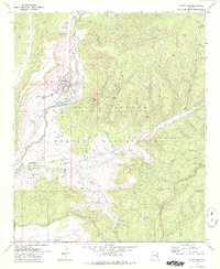 1978 Whiteriver1978 Print · USGSThe Fort Apache Indian Reservation is captured in the late 1970s, showing the confluence of the river forks and tribal infrastructure. Genealogists can trace the Whiteriver community and sites like the East Fork Mission Sch and Sevenmile Cem.2 unique versions available
 - 1981 Map of Nutrioso, 1996 Print
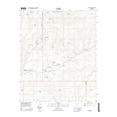
 1981 Nutrioso1996 Print · USGSEastern Arizona and the New Mexico borderlands are captured here in the early eighties, showcasing a vast expanse of national forest and tribal lands. Researchers can trace the high-country routes between Nutrioso, Alpine, and Whiteriver, or locate landmarks along the Mogollon Rim and Black River.2 unique versions available
 - 2011 Map of Whiteriver, 2011 Print
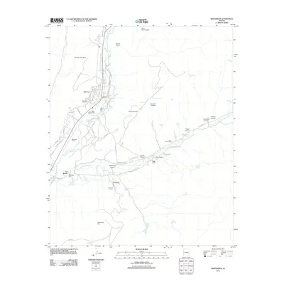 2011 Whiteriver2011 Print · USGSCovers Rainbow City, including Whiteriver, Turkey Creek, and other nearby areas
 - 2014 Map of Whiteriver, 2014 Print
 2014 Whiteriver2014 Print · USGSCovers Rainbow City, including Whiteriver, Turkey Creek, and other nearby areas
 - 2018 Map of Whiteriver, 2018 Print
 2018 Whiteriver2018 Print · USGSCovers Rainbow City, including Whiteriver, Turkey Creek, and other nearby areas
 - 2021 Map of Whiteriver, 2021 Print
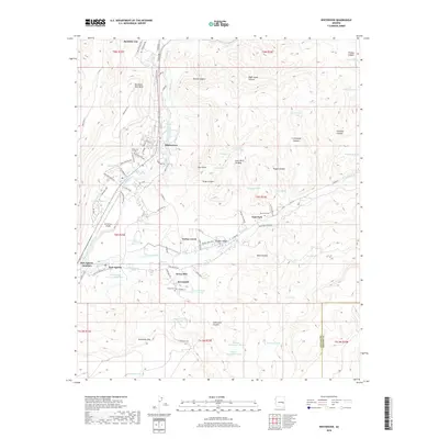
 2021 Whiteriver2021 Print · USGSWhiteriver and the White Mountain Apache Tribal lands are mapped in detail during the early 2020s. Researchers can locate community centers at Rainbow City and Fort Apache, and trace local history through sites like Whiteriver Cem and Bush Flat Cem.
 - 2026 Map of Whiteriver, 2026 Print
 2026 Whiteriver2026 Print · USGSCovers Rainbow City, including Whiteriver, Turkey Creek, and other nearby areas
End of results
Showing maps 1-12 of 12
Top cities near Rainbow City
Frequently asked questions
- What are the different types of historical maps available for Rainbow City?
- What is the oldest map of Rainbow City?
- Where can I purchase historical maps of Rainbow City for my home or office?
- Where can I download high-res historical maps of Rainbow City?
- Are there historical topographic maps available for Rainbow City?
- Is there historical aerial imagery available for Rainbow City?
- Where are historical maps of Rainbow City sourced from?