Old Maps of Ali Chuk, Gu Vo District for Academic Research
Study the evolution of Ali Chuk with 10 high-resolution historic maps. Whether you're teaching, researching, or modeling changes in land use, these maps provide essential visual documentation of urban, environmental, and geographic change.
- Analyze long-term change: Track patterns in development, transportation, and natural features.
- Ideal for environmental or urban studies: Support academic projects with primary historical map data.
- Use in the classroom or lab: Educators and researchers rely on these maps to bring historical context to life.
These maps are a powerful tool for teaching, research, and visualizing how Ali Chuk has changed over the decades.
Ali Chuk, Gu Vo District maps
(10)- 1954 Map of Sonoyta
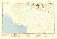 1954 Sonoyta1954 Print · USGSThe Arizona-Sonora borderlands come into focus in the 1950s, showing a landscape of volcanic craters and remote desert outposts. Trace the cattle-ranching and Indigenous history of the region through sites like Cervantls Well and Ali Ak Chin.
 - 1963 Map of Lukeville, 1964 Print
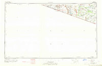 1963 Lukeville1964 Print · USGSThe Arizona-Mexico borderlands come into focus in this early 1960s survey, detailing the desert infrastructure of the Papago Indian Reservation. Researchers can locate remote sites like the Milton Mine, San Rafael Ruins, and the border crossing at Lukeville.2 unique versions available
 - 1963 Map of Diaz Peak, 1965 Print
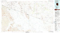
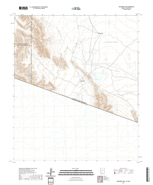
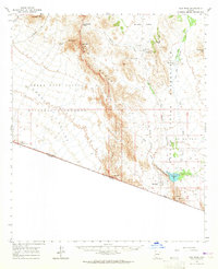 1963 Diaz Peak1965 Print · USGSSouthern Arizona’s borderlands and the tribal lands of the O'odham people are captured in the 1960s. Trace the remote desert outposts and water sources of the era, from the village of Ali Chuk and Menagers Lake to the rugged heights of Diaz Peak.2 unique versions available
 - 1988 Map of Menagers Lake
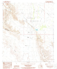 1988 Menagers Lake1988 Print · USGSThe Arizona-Mexico border country is detailed in the late eighties, documenting the remote desert outposts of the Tohono O'odham Nation. Trace the network of check dams and seasonal washes near Ali Chuk, Ali Ak Chin, and the waters of Menagers Lake.
 - 1994 Map of Lukeville
 1994 Lukeville1994 Print · USGSThe Arizona-Sonora borderlands come into focus in the mid-nineties, centering on the crossing between Lukeville and Sonoyta. Local historians can trace the scattered settlements of the Tohono O'odham Nation, including Ali Ak Chin and Tatk Kam Vo, alongside the peaks of the Ajo Range.
 - 1996 Map of Menagers Lake, 2000 Print
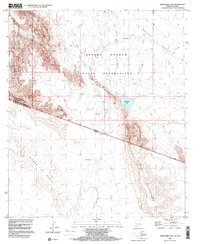 1996 Menagers Lake2000 Print · USGSThe Arizona-Mexico borderlands come into focus in the mid-nineties, showing the intersection of tribal lands and national monuments. Researchers can trace the desert terrain from Ali Ak Chin to the shores of Menagers Lake and the peaks of Sierra La Nariz.
 - 2011 Map of Menagers Lake, 2011 Print
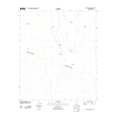 2011 Menagers Lake2011 Print · USGSCovers Ali Chuk, including Gu Vo District, Ali Ak Chin, and other nearby areas
 - 2014 Map of Menagers Lake, 2014 Print
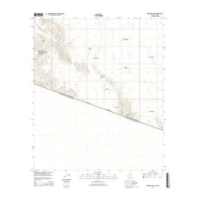 2014 Menagers Lake2014 Print · USGSCovers Ali Chuk, including Gu Vo District, Ali Ak Chin, and other nearby areas
 - 2018 Map of Menagers Lake, 2018 Print
 2018 Menagers Lake2018 Print · USGSCovers Ali Chuk, including Gu Vo District, Ali Ak Chin, and other nearby areas
 - 2021 Map of Menagers Lake, 2021 Print
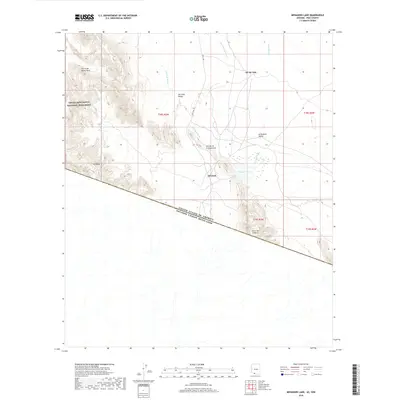
 2021 Menagers Lake2021 Print · USGSThe Arizona-Mexico border landscape is documented here in the early twenty-first century. Genealogists and researchers can trace the roads and settlements of Ali Chuk and Ali Ak Chin near Menagers Lake and the Ajo Range.
End of results
Showing maps 1-10 of 10
Frequently asked questions
- What are the different types of historical maps available for Ali Chuk?
- What is the oldest map of Ali Chuk?
- Where can I purchase historical maps of Ali Chuk for my home or office?
- Where can I download high-res historical maps of Ali Chuk?
- Are there historical topographic maps available for Ali Chuk?
- Is there historical aerial imagery available for Ali Chuk?
- Where are historical maps of Ali Chuk sourced from?