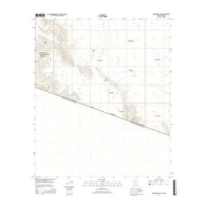
2014 Map of Menagers Lake
USGS Topo · Published 2014About this map
The United States of America Estados Unidos Mexicanos international border bisects this Sonoran Desert landscape, running along the southern edge of Pima Co, Arizona. The terrain is defined by the alluvial fans of the Ali Chuk Valley and La Quituni Valley, where drainage systems like Pia Oik Wash and Ali Chuk Wash converge near the settlement of Ali Chuk. To the west, the foothills of the Sierra de Santa Rosa enter the Organ Pipe Cactus National Monument, while the Sierra de la Nariz straddles the border to the southeast. The presence of Menagers Lake and the nearby Ali Ak Chin community highlights the critical relationship between sparse water sources and human habitation in this arid environment, connected by local routes such as Bia-1.
Find a feature on this map
22 named features on this map. Tap any name to fly to it.
Don’t see what you’re looking for? This feature index may not catch every label — zoom into the map to look around manually.
Map Details
Editions of this 2014 Menagers Lake Map
This is the sole edition of this map. No revisions or reprints were ever made.
Other maps of this area

1954 · Sonoyta
USGS Topo · 1:250,000

1963 · Kom Vo
USGS Topo · 1:62,500

1963 · Lukeville
USGS Topo · 1:250,000

1963 · Diaz Peak
USGS Topo · 1:62,500
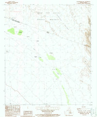
1988 · Blankenship Well
USGS Topo · 1:24,000
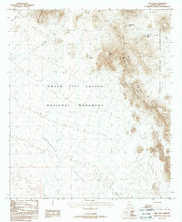
1988 · Diaz Peak
USGS Topo · 1:24,000
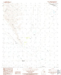
1988 · South of Bailey Peak
USGS Topo · 1:24,000
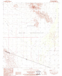
1988 · Bailey Peak
USGS Topo · 1:24,000
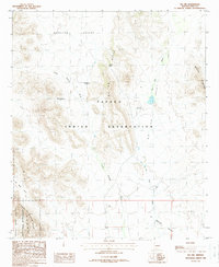
1988 · Pia Oik
USGS Topo · 1:24,000
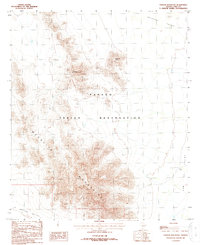
1988 · Chupan Mountain
USGS Topo · 1:24,000