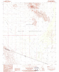
1988 Map of Bailey Peak
USGS Topo · Published 1988About this map
The Papago Indian Reservation dominates this desert landscape along the international border, where the rugged peaks of the Mesquite Mountains rise sharply above the basin floor. This 1988 provisional survey illustrates a remote stretch of the Sonoran Desert, defined by the geological prominence of Bailey Peak and the drainage of San Simon into The Great Plain. The map provides a detailed look at the arid topography of the La Quituni Valley and Kom Vo Valley during a period of transition in the late twentieth century.
Find a feature on this map
14 named features on this map. Tap any name to fly to it.
Don’t see what you’re looking for? This feature index may not catch every label — zoom into the map to look around manually.
Map Details
Editions of this 1988 Bailey Peak Map
This is the sole edition of this map. No revisions or reprints were ever made.
Other maps of this area

1954 · Sonoyta
USGS Topo · 1:250,000

1963 · Kom Vo
USGS Topo · 1:62,500

1963 · Lukeville
USGS Topo · 1:250,000

1963 · Diaz Peak
USGS Topo · 1:62,500
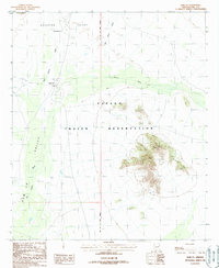
1988 · Kom Vo
USGS Topo · 1:24,000
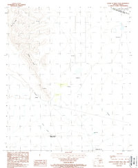
1988 · South of Bailey Peak
USGS Topo · 1:24,000
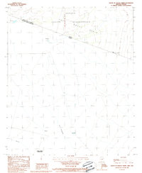
1988 · South of Papago Farms
USGS Topo · 1:24,000
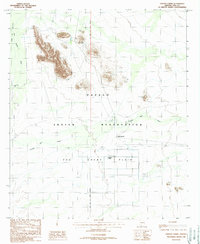
1988 · Papago Farms
USGS Topo · 1:24,000
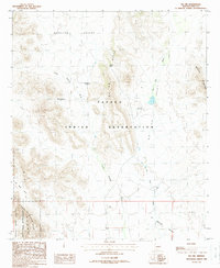
1988 · Pia Oik
USGS Topo · 1:24,000
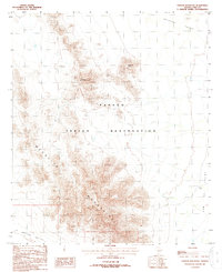
1988 · Chupan Mountain
USGS Topo · 1:24,000
Featured Places
- Gu Vo District, AZ
- Chukut Kuk District, AZ
- Pisinemo District, AZ
- Shaotkam, Gu Vo District
- Pima County, AZ