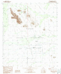
1988 Map of Papago Farms
USGS Topo · Published 1988About this map
Papago Indian Reservation territory defines the landscape of this late-century survey, centered on the agricultural outpost of Papago Farms. The map illustrates a developed irrigation and utility infrastructure at the edge of The Great Plain, featuring a network of wells, a Landing Strip, and a localized grid of roads and levees. This pocket of human activity contrasts sharply with the surrounding arid geography of Kom Vo Valley and the rugged heights of Molenitus. Small settlements like Stan Shuatuk and Stoa Tontk appear alongside more remote markers such as a local Cem and multiple check dams. The drainage patterns of San Simon Wash and Kuk Chukut Wash provide insight into the water management required to sustain life and farming in this desert environment near the Gila and Salt River Meridian.
Find a feature on this map
19 named features on this map. Tap any name to fly to it.
Don’t see what you’re looking for? This feature index may not catch every label — zoom into the map to look around manually.
Map Details
Editions of this 1988 Papago Farms Map
This is the sole edition of this map. No revisions or reprints were ever made.
Other maps of this area

1954 · Sonoyta
USGS Topo · 1:250,000

1963 · Kom Vo
USGS Topo · 1:62,500

1963 · Gu Oidak
USGS Topo · 1:62,500
1963 · La Lesna Mts.
USGS Topo · 1:62,500

1963 · Lukeville
USGS Topo · 1:250,000
1988 · Kom Vo
USGS Topo · 1:24,000
1988 · South of Bailey Peak
USGS Topo · 1:24,000
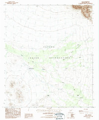
1988 · Kupk
USGS Topo · 1:24,000
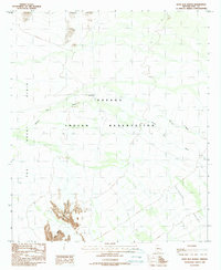
1988 · Kots Kug Ranch
USGS Topo · 1:24,000
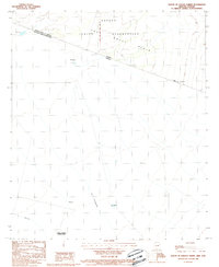
1988 · South of Papago Farms
USGS Topo · 1:24,000
Featured Places
- Chukut Kuk District, AZ
- Pisinemo District, AZ
- Stan Shuatuk, Chukut Kuk District
- Papago Farms, Chukut Kuk District
- Pima County, AZ