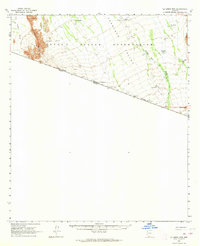
1963 Map of La Lesna Mts.
USGS Topo · Published 1964About this map
Sivili Chuchg and the surrounding desert landscape characterize this portion of the Papago Indian Reservation during the early 1960s. The map documents a sparsely populated arid region where life centers around scattered wells and cattle operations, including San Rafael Well and Tecolote Ranch. The terrain transitions from the low-lying Tecolote Valley to the prominent heights of La Lesna Pk and the Alvarez Mountains.
Find a feature on this map
22 named features on this map. Tap any name to fly to it.
Don’t see what you’re looking for? This feature index may not catch every label — zoom into the map to look around manually.
Map Details
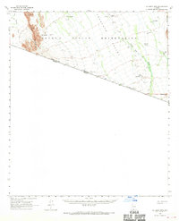
Editions of this 1963 La Lesna Mts. Map
2 editions found
Other maps of this area

1941 · Vamori
USGS Topo · 1:62,500

1941 · Sells
USGS Topo · 1:62,500

1943 · Sells
USGS Topo · 1:62,500

1943 · Fresnal
USGS Topo · 1:125,000

1943 · Vamori
USGS Topo · 1:62,500

1954 · Sonoyta
USGS Topo · 1:250,000

1956 · Nogales
USGS Topo · 1:250,000

1958 · Nogales
USGS Topo · 1:250,000

1959 · Nogales
USGS Topo · 1:250,000

1963 · Kom Vo
USGS Topo · 1:62,500
Featured Places
- Vakamok, Chukut Kuk District
- Chukut Kuk District, AZ
- Tatkum Vo, Chukut Kuk District
- San Rafael, Chukut Kuk District
- Sivili Chuchg, Chukut Kuk District