Loading...
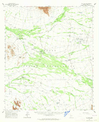
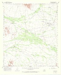
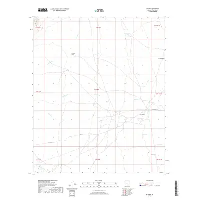
Loading map...1963 Map of Gu Oidak
USGS Topo · Published 1964About this map
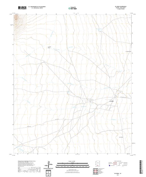
The Papago Indian Reservation landscape is defined by its seasonal watercourses and scattered settlements in this mid-century survey. Settlements like Vamori and Gu Oidak serve as anchors in the desert, often centered around cultural landmarks such as St Francis Mission and St Thomas Mission. The map reveals a complex network of Jeep Trails and fences that crisscross the arid floor of the Tecolote Valley and The Great Plain, reflecting the pastoral and transit patterns of the era.
Find a feature on this map
32 named features on this map. Tap any name to fly to it.
Don’t see what you’re looking for? This feature index may not catch every label — zoom into the map to look around manually.
Map Details
Date Portrayed1963
Date Published1964
PublisherU.S. Geological Survey
Map TypeTopographic
Scale1:62,500
Physical Dimensions16.9 x 20.7 inches
Editions of this 1963 Gu Oidak Map
2 editions found
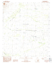
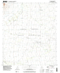
Historical Maps of Gu Oidak Through Time
7 maps found
Featured Locations
Source Details
SourceU.S. Geological Survey
CopyrightPublic Domain