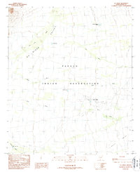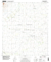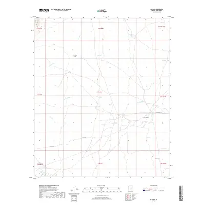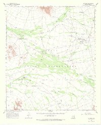
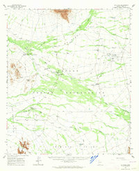
1963 Map of Gu Oidak
USGS Topo · Published 1968About this map
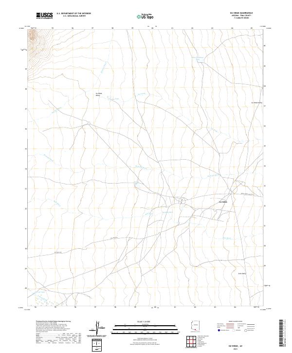
St Francis Mission and St Theresa Mission stand as key cultural markers within this desert landscape of the Papago Indian Reservation. This early 1960s survey documents a network of indigenous settlements and cattle ranching infrastructure across the San Luis Valley and Tecolote Valley. Isolated peaks like South Mountain and the Kupk Hills rise above the alluvial fans of the Great Plain, where seasonal water management is evident through features like Pablos Charco Reservoir and several livestock tanks. For local historians, the map preserves the exact placement of traditional Tohono O'odham communities including Gu Oidak, Vamori, and Chukut Kuk. A notable archaeological detail is recorded near the Lesna Mountains, where ancient Petroglyphs are marked, indicating the deep temporal layer of human habitation in this arid environment before the expansion of modern unimproved jeep trails.
Find a feature on this map
33 named features on this map. Tap any name to fly to it.
Don’t see what you’re looking for? This feature index may not catch every label — zoom into the map to look around manually.
Map Details
Editions of this 1963 Gu Oidak Map
2 editions found
Historical Maps of Gu Oidak Through Time
7 maps found