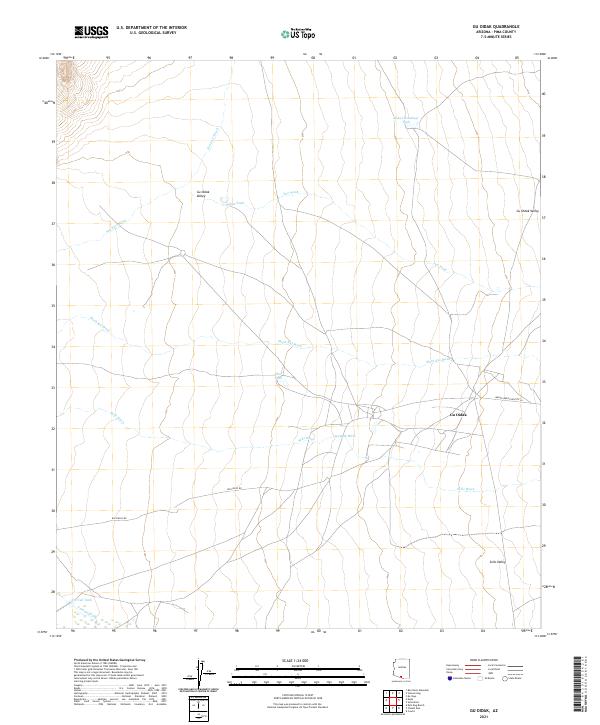
2021 Map of Gu Oidak
USGS Topo · Published 2021About this map
Gu Oidak serves as the central hub of this desert landscape, situated at the confluence of several seasonal drainage systems. The settlement is positioned along Indian Service Routte 24, which provides a vital link through the Gu Oidak Valley. The surrounding terrain is defined by an intricate network of desert washes, including the significant San Luis Wash to the north and Sells Wash to the south. These ephemeral waterways, along with features like Kuke Chehedagi Tank and Gohke Tank, illustrate the critical importance of water management in this arid environment. To the southwest, Big Fields Rd skirts the edge of the Sells Valley, marking the transition between the valley floor and the adjacent uplands. The distribution of these man-made tanks and named washes reveals a land organized around grazing and sparse desert hydrology.
Find a feature on this map
24 named features on this map. Tap any name to fly to it.
Don’t see what you’re looking for? This feature index may not catch every label — zoom into the map to look around manually.
Map Details
Editions of this 2021 Gu Oidak Map
This is the sole edition of this map. No revisions or reprints were ever made.
Other maps of this area

1934 · Silver Bell
USGS Topo · 1:125,000

1937 · Comobabi
USGS Topo · 1:48,000

1941 · Sells
USGS Topo · 1:62,500

1942 · Comobabi
USGS Topo · 1:62,500

1943 · Sells
USGS Topo · 1:62,500

1943 · Fresnal
USGS Topo · 1:125,000

1953 · Ajo
USGS Topo · 1:250,000

1954 · Sonoyta
USGS Topo · 1:250,000

1956 · Nogales
USGS Topo · 1:250,000

1956 · Tucson
USGS Topo · 1:250,000