Old Maps of Sil Nakya, Schuk Toak District for Metal Detecting
Plan your next treasure hunt with 17 historic maps of Sil Nakya. Find old homesites, ghost towns, trails, and gathering spots that may be lost to time — perfect for identifying promising metal detecting locations.
- Locate forgotten sites: Uncover places like long-lost settlements, abandoned rail lines, or gathering spots.
- Plan better hunts: Use map overlays combined with LiDAR or satellite views to narrow in on historically rich areas.
- Made for detectorists: Thousands of hobbyists use these maps to discover relics, coins, and hidden history.
Use these historic maps to boost your research and find new opportunities beneath the surface of Sil Nakya.
Sil Nakya, Schuk Toak District maps
(17)- 1934 Map of Silver Bell
 1934 Silver Bell1934 Print · USGSPima County at the height of the New Deal era reveals a sparse network of desert settlements and remote mines. Genealogists and historians can trace the footprint of the Papago Indian Reservation through its small villages like Santa Cruz and industrial sites like the Roadside Mine.
 - 1937 Map of Comobabi
 1937 Comobabi1937 Print · USGSPima County's high-desert mining and tribal lands are captured in the late 1930s, showing the early infrastructure of the Papago Indian Reservation. Trace the locations of isolated mining operations like the Cobabi Mine and settlements at San Luis and Nolic.4 unique versions available
 - 1942 Map of Comobabi
 1942 Comobabi1942 Print · USGSThe Papago Indian Reservation comes into focus during the late 1930s, showing a network of remote desert settlements and scattered mountain mines. Genealogists and historians can trace the foundations of Sil Nakya, Ko Vaya, and mining sites like the Picacho Mine.2 unique versions available
 - 1956 Map of Tucson, 1967 Print
 1956 Tucson1967 Print · USGSPost-war Southern Arizona comes into focus as the copper and aviation industries expand around Tucson. Trace family roots in South Tucson or locate early mining sites like the San Manuel Mine and Silver Bell Mine near the Santa Cruz River.3 unique versions available
 - 1958 Map of Tucson
 1958 Tucson1958 Print · USGSSouthern Arizona in the late fifties reveals a landscape of desert agriculture and rising military aviation. Trace the rail lines of the Southern Pacific or locate the historic San Xavier Del Bac Mission and the Casa Grande Natl Mon.
 - 1959 Map of Tucson
 1959 Tucson1959 Print · USGSSouthern Arizona in the late fifties shows a landscape of military growth and desert industry. Genealogists and historians can trace the footprint of Davis-Monthan Air Force Base and old mining sites like the San Manuel Mine near Mammoth.2 unique versions available
 - 1962 Map of Tucson
 1962 Tucson1962 Print · USGSSouthern Arizona in the early sixties showcases a landscape defined by burgeoning desert cities and massive military installations. Researchers can trace tribal settlements like Schuchk, legacy mining sites at Silver Bell Mine, and the early footprint of Davis-Monthan Air Force Base.
 - 1964 Map of Tucson
 1964 Tucson1964 Print · USGSSouthern Arizona in the mid-1960s shows a landscape of burgeoning desert cities and industrial-scale copper mining. Researchers can trace the development of Tucson and its outlying mining districts, including the Silver Bell Mine and San Manuel Mine.
 - 1978 Map of Sil Nakya
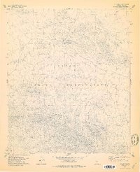 1978 Sil Nakya1978 Print · USGSThe Papago Indian Reservation in the late 1970s showcases a landscape of isolated desert settlements and vital water sources. Genealogists and historians can trace the foundations of the community through the St Agatha Mission, the local Cem, and rural outposts like Sil Nakya.
 - 1979 Map of Sil Nakya
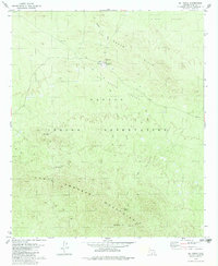 1979 Sil Nakya1979 Print · USGSThe Papago Indian Reservation is captured here in the late 1970s, focused on the high-desert terrain of the North Comobabi Mountains. Genealogists and historians can locate the St Agatha Mission, burial grounds at Cem, and desert water sources like Frog Well.
 - 1994 Map of Silver Bell Mountains
 1994 Silver Bell Mountains1994 Print · USGSSouthern Arizona in the mid-nineties shows a land of transition between desert wilderness, tribal lands, and the growing Tucson suburbs. Genealogists and historians can trace settlements like San Luis and Ko Vaya, or follow the industrial legacy of the Silver Bell Mine.2 unique versions available
 - 1996 Map of Sil Nakya, 2002 Print
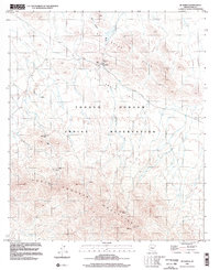 1996 Sil Nakya2002 Print · USGSThe Tohono O'odham nation at the end of the twentieth century shows a landscape defined by desert wells and mountain passes. Trace the footprint of the St Agatha Mission, find the Sil Nakya cemetery, and locate water sources like Frog Well.
 - 2011 Map of Sil Nakya, 2011 Print
 2011 Sil Nakya2011 Print · USGSThis high-desert region of Pima County comes into focus in the early twenty-first century, centered on the settlement of Sil Nakya. Researchers can trace the path of Indian Rte 34 as it crosses Sil Nakya Pass between the Comobari Mountains and Sil Nakya Hills.
 - 2014 Map of Sil Nakya, 2014 Print
 2014 Sil Nakya2014 Print · USGSSil Nakya and the Schuk Toak District are shown in detail during the early twenty-first century. Researchers can trace desert roads like BIA-33 and locate landmarks such as the Comobari Mountains and the settlement of Sil Nakya.
 - 2018 Map of Sil Nakya, 2018 Print
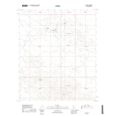 2018 Sil Nakya2018 Print · USGSThe Tohono O'odham Nation’s high desert landscape is documented here in the late 2010s. Modern researchers can trace the roads and washes surrounding Sil Nakya, from the heights of Mt Devine to the remote crossing at Sil Nakya Pass.
 - 2021 Map of Sil Nakya, 2021 Print
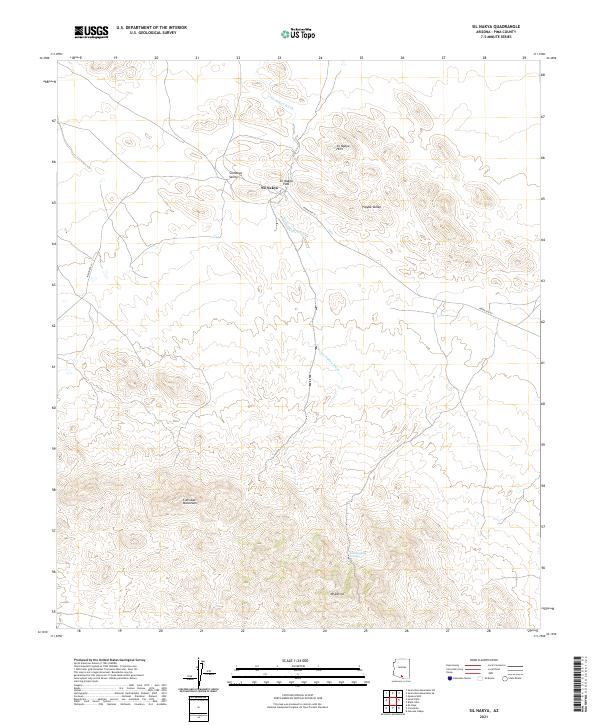 2021 Sil Nakya2021 Print · USGSThe settlement of Sil Nakya sits amidst the varied terrain of Pima County in this recent survey. Local researchers can trace the course of the Sil Nakya Wash as it winds past the Sil Nakya Hills and the southern Comobari Mountains.
 - 2026 Map of Sil Nakya, 2026 Print
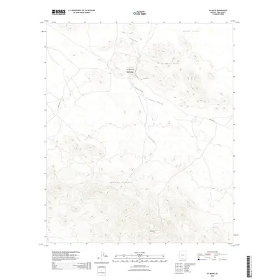 2026 Sil Nakya2026 Print · USGSCovers Sil Nakya, including Gu Achi District, Schuk Toak District, and other nearby areas
End of results
Showing maps 1-17 of 17
Top cities near Sil Nakya
Frequently asked questions
- What are the different types of historical maps available for Sil Nakya?
- What is the oldest map of Sil Nakya?
- Where can I purchase historical maps of Sil Nakya for my home or office?
- Where can I download high-res historical maps of Sil Nakya?
- Are there historical topographic maps available for Sil Nakya?
- Is there historical aerial imagery available for Sil Nakya?
- Where are historical maps of Sil Nakya sourced from?