Old Maps of Copper Creek, Arizona for Academic Research
Study the evolution of Copper Creek with 15 high-resolution historic maps. Whether you're teaching, researching, or modeling changes in land use, these maps provide essential visual documentation of urban, environmental, and geographic change.
- Analyze long-term change: Track patterns in development, transportation, and natural features.
- Ideal for environmental or urban studies: Support academic projects with primary historical map data.
- Use in the classroom or lab: Educators and researchers rely on these maps to bring historical context to life.
These maps are a powerful tool for teaching, research, and visualizing how Copper Creek has changed over the decades.
Copper Creek, AZ maps
(15)- 1938 Map of Klondyke
 1938 Klondyke1938 Print · USGSThe mining and ranching outposts of the Aravaipa Valley are captured here in the late 1930s. Genealogists and historians can trace old homesteads and extraction sites like Landsman Camp, the Grand Reef Mine, and the local Aravaipa Sch near the creek.3 unique versions available
 - 1943 Map of Klondyke
 1943 Klondyke1943 Print · USGSGraham County’s high desert mining and forest landscape is captured here during the 1940s. Genealogists and researchers can trace the vicinity of the Klondyke settlement, the Aravaipa Sch, and numerous local workings like the Grand Reef Mine.2 unique versions available
 - 1956 Map of Tucson, 1967 Print
 1956 Tucson1967 Print · USGSPost-war Southern Arizona comes into focus as the copper and aviation industries expand around Tucson. Trace family roots in South Tucson or locate early mining sites like the San Manuel Mine and Silver Bell Mine near the Santa Cruz River.3 unique versions available
 - 1958 Map of Tucson
 1958 Tucson1958 Print · USGSSouthern Arizona in the late fifties reveals a landscape of desert agriculture and rising military aviation. Trace the rail lines of the Southern Pacific or locate the historic San Xavier Del Bac Mission and the Casa Grande Natl Mon.
 - 1959 Map of Tucson
 1959 Tucson1959 Print · USGSSouthern Arizona in the late fifties shows a landscape of military growth and desert industry. Genealogists and historians can trace the footprint of Davis-Monthan Air Force Base and old mining sites like the San Manuel Mine near Mammoth.2 unique versions available
 - 1962 Map of Tucson
 1962 Tucson1962 Print · USGSSouthern Arizona in the early sixties showcases a landscape defined by burgeoning desert cities and massive military installations. Researchers can trace tribal settlements like Schuchk, legacy mining sites at Silver Bell Mine, and the early footprint of Davis-Monthan Air Force Base.
 - 1964 Map of Tucson
 1964 Tucson1964 Print · USGSSouthern Arizona in the mid-1960s shows a landscape of burgeoning desert cities and industrial-scale copper mining. Researchers can trace the development of Tucson and its outlying mining districts, including the Silver Bell Mine and San Manuel Mine.
 - 1972 Map of Oak Grove Canyon, 1975 Print
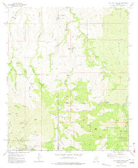 1972 Oak Grove Canyon1975 Print · USGSArizona's remote Galiuro Mountains are shown in the early 1970s, during a period when mining and ranching still shaped the high desert landscape. Genealogists and historians can trace family-named sites and claims like Parsons Grove, Fourmile Ranch, and the Bluebird Mine.2 unique versions available
 - 1986 Map of Mammoth, 1987 Print
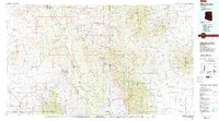 1986 Mammoth1987 Print · USGSThe copper-rich corridors of Pinal and Graham counties are captured in the mid-1980s as mining towns and mountain wilderness met. Researchers can trace the industrial footprints of the San Manuel Mine and Hayden, alongside landmarks like the Silver Queen Mine and Aravaipa Creek.3 unique versions available
 - 1996 Map of Oak Grove Canyon, 2002 Print
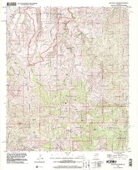 1996 Oak Grove Canyon2002 Print · USGSThe Pinal and Graham County borderlands come alive in the late twentieth century, showing a landscape defined by deep canyons and high desert peaks. Genealogists and historians can trace the mining legacy of the Galiuro Mountains at the Table Mtn Mine, Lime Camp, and Parsons Grove.
 - 2011 Map of Oak Grove Canyon, 2011 Print
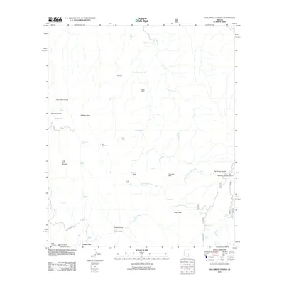 2011 Oak Grove Canyon2011 Print · USGSParsons Grove and the surrounding high desert of Pinal County are documented here during the early 2010s. Researchers can locate ranching infrastructure like Lime Camp, Don Jose Corral, and the Fourmile Ranch among the desert springs.
 - 2014 Map of Oak Grove Canyon, 2014 Print
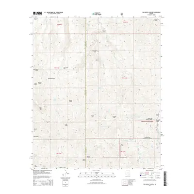 2014 Oak Grove Canyon2014 Print · USGSThe high canyons and mountain peaks of the Arizona wilderness are detailed in this 2014 survey of the Coronado National Forest. Researchers can trace the water sources and early settlement locations at Parsons Grove, Copper Creek, and Fourmile Springs.
 - 2018 Map of Oak Grove Canyon, 2018 Print
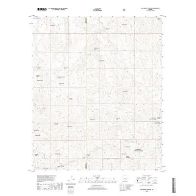 2018 Oak Grove Canyon2018 Print · USGSThe high canyons and peaks of the Galiuro Mountains are documented in this recent survey of the Arizona desert. Modern researchers can trace access routes like Rug Rd and Bluebird Mine Rd while locating remote water sources at Jackson Spring and Mescal Tank.
 - 2021 Map of Oak Grove Canyon, 2021 Print
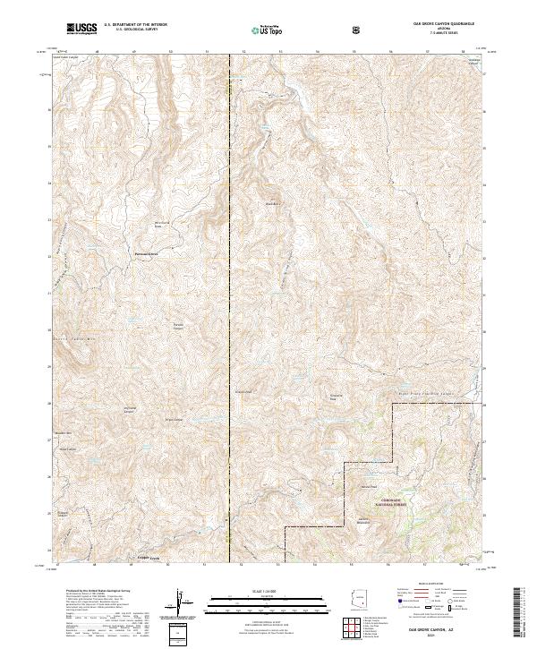 2021 Oak Grove Canyon2021 Print · USGSThe Graham and Pinal county border country is shown here in the Galiuro Mountains during the early twenty-first century. Researchers can locate remote water sources and early access tracks like Bluebird Mine Rd, Peach Spring, and Monzanita Tank.
 - 2026 Map of Oak Grove Canyon, 2026 Print
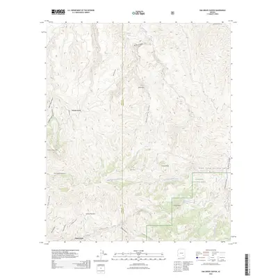 2026 Oak Grove Canyon2026 Print · USGSCovers Copper Creek, including Parsons Grove, Pinal County, and other nearby areas
End of results
Showing maps 1-15 of 15
Top cities near Copper Creek
Frequently asked questions
- What are the different types of historical maps available for Copper Creek?
- What is the oldest map of Copper Creek?
- Where can I purchase historical maps of Copper Creek for my home or office?
- Where can I download high-res historical maps of Copper Creek?
- Are there historical topographic maps available for Copper Creek?
- Is there historical aerial imagery available for Copper Creek?
- Where are historical maps of Copper Creek sourced from?