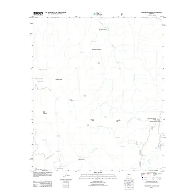
2011 Map of Oak Grove Canyon
USGS Topo · Published 2011About this map
Parsons Grove and various cattle corrals dot this desert landscape, reflecting a region defined by ranching and mining access in the early twenty-first century. The presence of Wire Corral, Don Jose Corral, and Hanks Corral suggests a continuing tradition of range management across the arid terrain. Rugged canyons such as Oak Grove Canyon and Garden Spring Canyon are punctuated by numerous water sources, including Mescal Tank and Soda Spring, which were vital for sustaining livestock and prospectors alike.
Find a feature on this map
48 named features on this map. Tap any name to fly to it.
Don’t see what you’re looking for? This feature index may not catch every label — zoom into the map to look around manually.
Map Details
Editions of this 2011 Oak Grove Canyon Map
This is the sole edition of this map. No revisions or reprints were ever made.
Other maps of this area

1911 · Winkelman
USGS Topo · 1:125,000

1913 · Winkelman
USGS Topo · 1:125,000

1938 · Galiuro Mts
USGS Topo · 1:48,000

1938 · Klondyke
USGS Topo · 1:48,000

1943 · Galiuro Mts
USGS Topo · 1:62,500

1943 · Klondyke
USGS Topo · 1:62,500

1948 · Clark Ranch
USGS Topo · 1:24,000

1948 · Mammoth
USGS Topo · 1:62,500

1949 · Clark Ranch
USGS Topo · 1:24,000

1949 · Holy Joe Peak
USGS Topo · 1:62,500