Old Maps of Oak Creek, Arizona for Academic Research
Study the evolution of Oak Creek with 20 high-resolution historic maps. Whether you're teaching, researching, or modeling changes in land use, these maps provide essential visual documentation of urban, environmental, and geographic change.
- Analyze long-term change: Track patterns in development, transportation, and natural features.
- Ideal for environmental or urban studies: Support academic projects with primary historical map data.
- Use in the classroom or lab: Educators and researchers rely on these maps to bring historical context to life.
These maps are a powerful tool for teaching, research, and visualizing how Oak Creek has changed over the decades.
Oak Creek, AZ maps
(20)- 1887 Map of Verde
 1887 Verde1887 Print · USGSCentral Arizona at the height of the territorial era is defined by the military presence at Fort Verde and the ranching settlements below the Mogollon Mesa. Genealogists and researchers can trace the early foundations of Payson, Pine, and Strawberry or locate landmarks like Montezuma Well and Natural Bridge.
 - 1892 Map of Verde
 1892 Verde1892 Print · USGSArizona's territorial frontier is captured in the late nineteenth century as the first ranching and military outposts emerged. Trace the earliest layouts of Payson, Fort Verde, and Strawberry alongside landmarks like Montezuma Well and Natural Bridge.5 unique versions available
 - 1923 Map of Camp Verde
 1923 Camp Verde1923 Print · USGSCentral Arizona's river valleys and high plateaus appear here during the early twenties, showing the region's shift toward tourism and settlement. Trace the routes to Montezuma Castle Nat Monument or locate early sites like Cornville and Aultman.
 - 1932 Map of Camp Verde, 1959 Print
 1932 Camp Verde1959 Print · USGSThe Verde Valley and the Mogollon Rim are documented here in the early 1930s, showing a landscape of remote cattle ranches and historic ruins. Researchers can trace early schools and homesteads like Red Rock Sch, Middle Verde, and Indian Gardens alongside Montezuma Well.2 unique versions available
 - 1936 Map of Camp Verde
 1936 Camp Verde1936 Print · USGSThe Verde Valley and Red Rock country are captured in the mid-1930s, showing a landscape of pioneer ranches and ancient ruins. Researchers can locate the early footprints of Sedona and Camp Verde, alongside remote landmarks like Montezuma Castle National Monument and the Stoneman Lake area.3 unique versions available
 - 1954 Map of Holbrook, 1966 Print
 1954 Holbrook1966 Print · USGSNorth-central Arizona is seen here during the mid-fifties, from the high plateau of the Mogollon Rim to the Verde Valley. Researchers can trace the early growth of Holbrook, locate remote camps like Happy Jack, and explore the roads around Montezuma Castle National Monument.3 unique versions available
 - 1957 Map of Holbrook
 1957 Holbrook1957 Print · USGSNorthern Arizona in the mid-fifties is defined by the high-plateau timberlands and the bustling rail corridor of the Little Colorado River valley. Genealogists and historians can trace the route of U.S. 66 through Holbrook or locate more remote outposts like Zeniff and Aripine.
 - 1958 Map of Holbrook
 1958 Holbrook1958 Print · USGSNortheastern Arizona's high country is captured here during the mid-fifties, showing the growth of mountain towns and timber lands. Researchers can trace the Atchison Topeka & Santa Fe RR through Holbrook or find vanished spots like Zeniff.
 - 1960 Map of Holbrook
 1960 Holbrook1960 Print · USGSNorthern Arizona is captured here just as modern highways began to reshape the cattle and timber country of the Colorado Plateau. Genealogists and historians can trace the early footprints of Snowflake, Sedona, and Payson, alongside the Atchison Topeka & Santa Fe RR rail line.
 - 1965 Map of Munds Mountain, 1967 Print
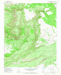 1965 Munds Mountain1967 Print · USGSThe Coconino National Forest high country is shown here in the mid-sixties, highlighting the winding ascent of Schnebly Hill Road. Trace early backcountry routes and water sites like Robbers Roost, Woods Ranch, and the Stoneman Lake Interchange.3 unique versions available
 - 1969 Map of Sedona, 1971 Print
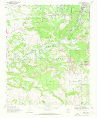 1969 Sedona1971 Print · USGSArizona's red rock country is captured here during the late sixties, showing the early growth of Sedona and Grasshopper Flat. Local historians can trace early developments like the Sedona Sch and Verde Valley Sch alongside landmarks like Cathedral Rock and Bell Rock.2 unique versions available
 - 1980 Map of Sedona, 1996 Print
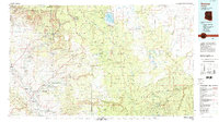 1980 Sedona1996 Print · USGSThe red rock country around Sedona and the Verde Valley are captured in the late twentieth century, showing a mix of ancient sites and modern growth. Genealogists and researchers can trace local landmarks like Cornville, the Camp Verde Indian Reservation, and Montezuma Castle National Monument.
 - 2011 Map of Munds Mountain, 2011 Print
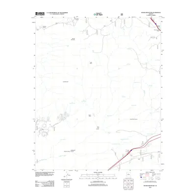 2011 Munds Mountain2011 Print · USGSCovers Oak Creek, including Sedona, Yavapai County, and other nearby areas
 - 2011 Map of Sedona, 2011 Print
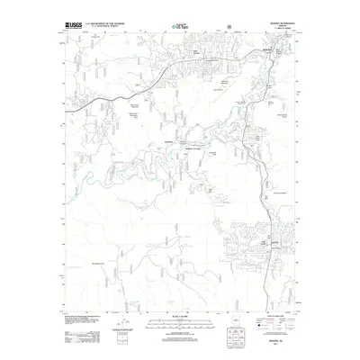 2011 Sedona2011 Print · USGSCovers Oak Creek, including Sedona, Baldwins Crossing, and other nearby areas
 - 2014 Map of Sedona, 2014 Print
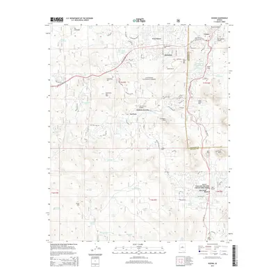 2014 Sedona2014 Print · USGSCovers Oak Creek, including Sedona, Baldwins Crossing, and other nearby areas
 - 2014 Map of Munds Mountain, 2014 Print
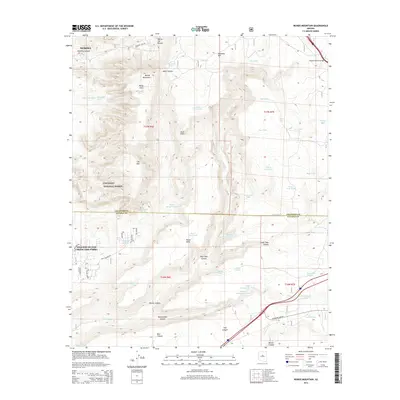 2014 Munds Mountain2014 Print · USGSCovers Oak Creek, including Sedona, Yavapai County, and other nearby areas
 - 2018 Map of Sedona, 2018 Print
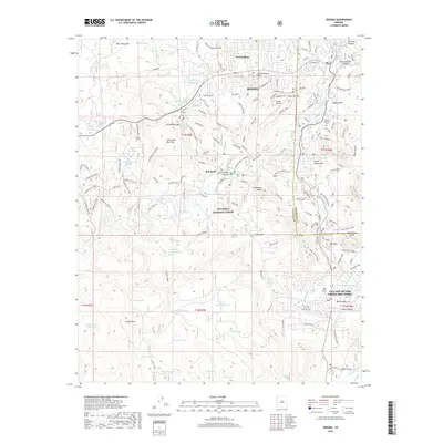 2018 Sedona2018 Print · USGSCovers Oak Creek, including Sedona, Baldwins Crossing, and other nearby areas
 - 2018 Map of Munds Mountain, 2018 Print
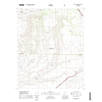 2018 Munds Mountain2018 Print · USGSCovers Oak Creek, including Sedona, Yavapai County, and other nearby areas
 - 2021 Map of Sedona, 2021 Print
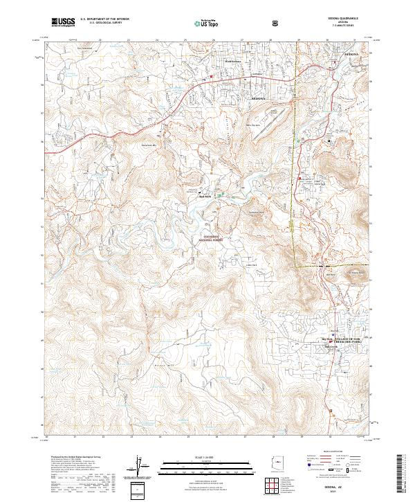 2021 Sedona2021 Print · USGSArizona's famous red rock country is documented here during its modern era of growth and outdoor recreation. Researchers can trace the development of Sedona and Village of Oak Creek or locate the historic Sedona Community Cem.
 - 2021 Map of Munds Mountain, 2021 Print
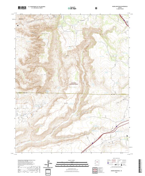 2021 Munds Mountain2021 Print · USGSThe red rock country east of Sedona is detailed here in its 21st-century state, showing the intricate canyon systems and forest trails. Hikers and historians can trace the Munds Wagon Trl past Munds Mtn or locate the Merry-Go-Round and Woods Canyon Bridge.
End of results
Showing maps 1-20 of 20
Top cities near Oak Creek
- Cottonwood historical maps
- Camp Verde historical maps
- Sedona historical maps
- Munds Park historical maps
Top neighborhoods of Oak Creek
Frequently asked questions
- What are the different types of historical maps available for Oak Creek?
- What is the oldest map of Oak Creek?
- Where can I purchase historical maps of Oak Creek for my home or office?
- Where can I download high-res historical maps of Oak Creek?
- Are there historical topographic maps available for Oak Creek?
- Is there historical aerial imagery available for Oak Creek?
- Where are historical maps of Oak Creek sourced from?