Old Maps of Willow Spring, Arizona for Academic Research
Study the evolution of Willow Spring with 17 high-resolution historic maps. Whether you're teaching, researching, or modeling changes in land use, these maps provide essential visual documentation of urban, environmental, and geographic change.
- Analyze long-term change: Track patterns in development, transportation, and natural features.
- Ideal for environmental or urban studies: Support academic projects with primary historical map data.
- Use in the classroom or lab: Educators and researchers rely on these maps to bring historical context to life.
These maps are a powerful tool for teaching, research, and visualizing how Willow Spring has changed over the decades.
Willow Spring, AZ maps
(17)- 1887 Map of Prescott
 1887 Prescott1887 Print · USGSThe central Arizona highlands appear in the territorial era, showing the early development of mining and military outposts. Genealogists can trace family-named sites and vanished camps like Big Bug, Stanton, and the original site of Walnut Grove.
 - 1892 Map of Prescott, 1898 Print
 1892 Prescott1898 Print · USGSCentral Arizona in the late nineteenth century was a territory defined by remote mining camps and military outposts. Genealogists and historians can trace early routes between Prescott and Jerome, locating vanished names like Meersville and Bumble-bee.5 unique versions available
 - 1947 Map of Sheridan Mountain, 1960 Print
 1947 Sheridan Mountain1960 Print · USGSThe high mesas and ranching outposts of Yavapai County are captured here in the late 1940s. Genealogists and historians can trace old cattle-country landmarks like Dumbbell Ranch, Yolo Cabin, and the sprawling Prescott National Forest.3 unique versions available
 - 1948 Map of Sheridan Mountain
 1948 Sheridan Mountain1948 Print · USGSIn the late 1940s, this area of the Yavapai highlands was a remote ranching frontier defined by isolated outposts. Researchers can trace historic family-named locations and water sources like Dumbbell Ranch, Yolo Cabin, and Willow Spring.
 - 1950 Map of Sheridan Mountain
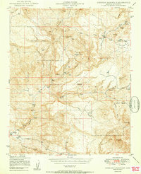 1950 Sheridan Mountain1950 Print · USGSYavapai County's high mesa ranching country is captured here during the post-war era within the Prescott National Forest. Genealogists and historians can locate established livestock operations like Spider Ranch, Dumbbell Ranch, and the Yolo Cabin.2 unique versions available
 - 1950 Map of Prescott, 1951 Print
 1950 Prescott1951 Print · USGSArizona's mining and ranching frontiers were in full operation during the early fifties, from the vertical streets of Jerome to the remote western desert. Genealogists and researchers can trace rural life via the Bland School, the United Verde Mine, and stops along the Atchison Topeka and Santa Fe Railway.
 - 1954 Map of Prescott, 1963 Print
 1954 Prescott1963 Print · USGSYavapai County mining and ranching districts are shown in high detail during the mid-twentieth century. Researchers can trace the legacy of remote camps and transport hubs like Swansea, Octave, and the Bagdad Mine along the desert rail lines.4 unique versions available
 - 1958 Map of Prescott
 1958 Prescott1958 Print · USGSCentral Arizona's rugged mining and ranching corridors come alive in the late fifties. Genealogists and historians can trace the remote Trout Creek School, the mining operations at Jerome, and the rail stops at Skull Valley and Kirkland.
 - 1959 Map of Prescott
 1959 Prescott1959 Print · USGSYavapai County and the central Arizona highlands come alive in the late fifties, showcasing a landscape of mountain mining towns and forest outposts. Researchers can trace the industrial footprints of the United Verde Mine, follow the Atchison Topeka and Santa Fe rails, and locate remote settlements like Swansea or Skull Valley.2 unique versions available
 - 1960 Map of Prescott
 1960 Prescott1960 Print · USGSYavapai County and the surrounding high-desert mining districts are captured here during a period of steady industrial and rail activity. Researchers can trace the routes of the Atchison Topeka and Santa Fe Railway and locate historic sites like the United Verde Mine and Bland School.2 unique versions available
 - 1965 Map of Prescott
 1965 Prescott1965 Print · USGSArizona's mining heartland is captured during the mid-sixties, from the copper mines of Jerome to the cattle country of Williamson Valley Wash. Genealogists and historians can trace old mining camps at Octave and Stanton or the historic Whipple Military Reservation.
 - 1981 Map of Prescott, 1996 Print
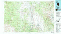 1981 Prescott1996 Print · USGSYavapai County experienced a period of transition in the early eighties as mining heritage and modern growth converged. Genealogists and historians can trace the industrial footprints of the United Verde Mine and the rail route of the Atchison Topeka and Santa Fe.2 unique versions available
 - 1986 Map of Smith Mesa
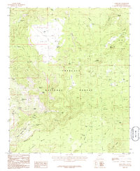 1986 Smith Mesa1986 Print · USGSThe ranching and forest lands of Yavapai County are captured in the mid-1980s, centered on the high terrain of Smith Mesa. Researchers can trace old livestock operations and water sources at Fair Oaks, Willow Spring, and Horseshoe Tank.
 - 2012 Map of Smith Mesa, 2012 Print
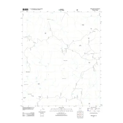 2012 Smith Mesa2012 Print · USGSThe ranching country of Yavapai County comes into focus in the early 2010s, showing a landscape defined by mesa-top fields and remote springs. Genealogists and historians can trace the operations of Dumbbell Ranch, locate the Cedar Salt Ground, and find working landmarks like Spider Ranch.
 - 2014 Map of Smith Mesa, 2014 Print
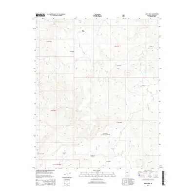 2014 Smith Mesa2014 Print · USGSThe Yavapai County backcountry comes to life in this 2014 survey of high-desert mesas and grazing lands. Researchers can trace the ranching history of the Prescott National Forest through family-named landmarks like Smith Mesa and the Cedar Salt Ground.
 - 2018 Map of Smith Mesa, 2018 Print
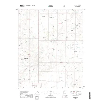 2018 Smith Mesa2018 Print · USGSFair Oaks and the high mesas of Yavapai County are captured here in the late 2010s. Local researchers can trace water sources and ranching landmarks like Smith Mesa Corral, Willow Spring, and the Cedar Salt Ground.
 - 2021 Map of Smith Mesa, 2021 Print
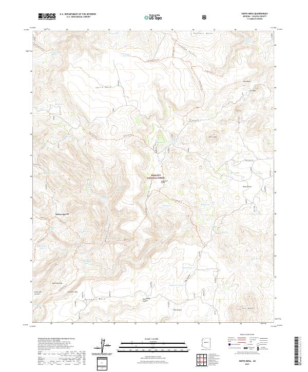 2021 Smith Mesa2021 Print · USGSYavapai County's high mesa country is captured here in the early twenty-first century, showing a landscape defined by ranching and forest management. Researchers can trace remote water sources and trails such as Willow Spring, Fair Oaks, and the Tailholt Mesa Trl.
End of results
Showing maps 1-17 of 17
Frequently asked questions
- What are the different types of historical maps available for Willow Spring?
- What is the oldest map of Willow Spring?
- Where can I purchase historical maps of Willow Spring for my home or office?
- Where can I download high-res historical maps of Willow Spring?
- Are there historical topographic maps available for Willow Spring?
- Is there historical aerial imagery available for Willow Spring?
- Where are historical maps of Willow Spring sourced from?