Old Maps of Yampai, Arizona for Genealogy
Trace your family roots with 14 historic maps of Yampai. These high-res maps reveal old neighborhoods, homesites, landmarks, and streets — helping you uncover where your ancestors lived and how the area evolved over time.
- Explore historic neighborhoods: Identify where your relatives may have lived in the 1800s or 1900s.
- Compare maps over time: Trace the changes in streets, buildings, and landmarks for multi-generational research.
- Perfect for genealogy & ancestry research: Used by family historians and researchers to map out lineage and migration.
These maps are an incredible resource for exploring your personal connection to Yampai's past.
Yampai, AZ maps
(14)- 1886 Map of Diamond Creek
 1886 Diamond Creek1886 Print · USGSMohave County was a land of expanding rails and rugged canyon rims in the mid-1880s. Genealogists and historians can trace the early path of the Atlantic and Pacific Railroad and locate frontier sites like Old Hackberry, American Flag Mine, and Camp Willow Grove.
 - 1892 Map of Diamond Creek
 1892 Diamond Creek1892 Print · USGSNorthwestern Arizona comes alive in this late nineteenth-century survey during the height of the steam rail era. Genealogists and historians can trace the early path of the Atlantic and Pacific Railroad and locate vanished outposts like Camp Willow Grove, Cottonwood Station, and Old Hackberry.6 unique versions available
 - 1948 Map of Williams
 1948 Williams1948 Print · USGSNorthern Arizona is captured here during the post-war era of roadside travel and heavy rail transport along the Santa Fe line. Researchers can trace the path of Route 66 through settlements like Seligman, Valentine, and Hackberry while exploring the vast terrain of the Hualpai Indian Reservation.2 unique versions available
 - 1954 Map of Williams, 1972 Print
 1954 Williams1972 Print · USGSThe high plateau of Northern Arizona is captured here during the mid-fifties, showing the rail-and-road corridor before the interstate era. You can trace family roots through remote railroad stops like Audley and Pica or locate early landmarks such as Grand Canyon Caverns and Frazier Wells.
 - 1956 Map of Williams, 1963 Print
 1956 Williams1963 Print · USGSNorthern Arizona in the mid-fifties reveals a landscape shaped by the Atchison Topeka and Santa Fe railroad and the iconic Highway 66. Trace the route of early travelers through Peach Springs, Seligman, and Ash Fork, or find remote sites like the Music Mountain Mine (Gold).3 unique versions available
 - 1960 Map of Williams
 1960 Williams1960 Print · USGSNorthern Arizona in the mid-twentieth century was defined by its massive canyons and the vital rail line connecting its remote ranches. Genealogists and historians can trace the development of Peach Springs, the high-altitude Bill Williams Mountain, and isolated outposts like Diamond Bar Ranch.
 - 1961 Map of Williams
 1961 Williams1961 Print · USGSNorthern Arizona in the mid-fifties reveals a high-desert landscape of rail towns and deep canyons along the Atchison Topeka and Santa Fe. Researchers can trace old Route 66 through Peach Springs, Seligman, and Ash Fork, or find remote sites like Music Mountain Mine.
 - 1981 Map of Yampai
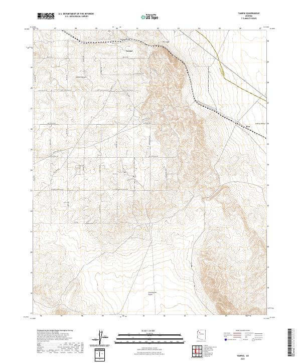
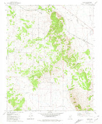 1981 Yampai1981 Print · USGSRailroad and ranching life intersect at the border of Yavapai and Coconino Counties in the early eighties. Researchers can trace the path of the Atchison Topeka and Santa Fe past remote outposts like Rock House and Pica.
 - 1984 Map of Valentine
 1984 Valentine1984 Print · USGSNorthern Arizona's high desert comes into focus in the mid-1980s as the rail and road network connects remote outposts. Trace the path of the Atchison Topeka and Santa Fe through Valentine and locate mining sites like the Sunshine Mine.2 unique versions available
 - 2011 Map of Yampai, 2011 Print
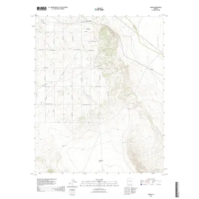
 2011 Yampai2011 Print · USGSCovers Yampai, including Yavapai County, Coconino County, and other nearby areas
 - 2014 Map of Yampai, 2014 Print
 2014 Yampai2014 Print · USGSCovers Yampai, including Yavapai County, Coconino County, and other nearby areas
 - 2018 Map of Yampai, 2018 Print
 2018 Yampai2018 Print · USGSCovers Yampai, including Yavapai County, Coconino County, and other nearby areas
 - 2021 Map of Yampai, 2021 Print
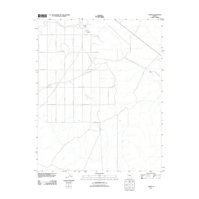
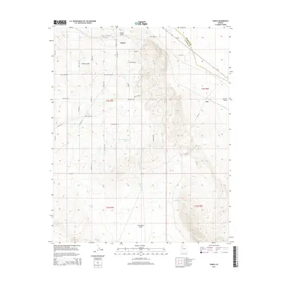
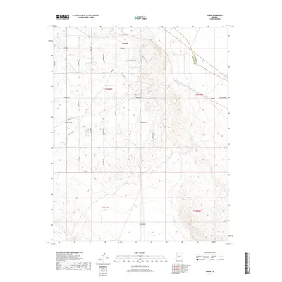
 2021 Yampai2021 Print · USGSThe high ranchlands of Yavapai County are captured here during a period of modern ranching and rural development. Researchers can trace land divisions and local history through features like Dusty Rose Ranch, the settlement of Pica, and Yampai Canyon.
 - 2026 Map of Yampai, 2026 Print
 2026 Yampai2026 Print · USGSCovers Yampai, including Yavapai County, Coconino County, and other nearby areas
End of results
Showing maps 1-14 of 14
Top cities near Yampai
Frequently asked questions
- What are the different types of historical maps available for Yampai?
- What is the oldest map of Yampai?
- Where can I purchase historical maps of Yampai for my home or office?
- Where can I download high-res historical maps of Yampai?
- Are there historical topographic maps available for Yampai?
- Is there historical aerial imagery available for Yampai?
- Where are historical maps of Yampai sourced from?