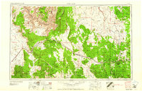
1961 Map of Williams
USGS Topo · Published 1961About this map
The Atchison Topeka and Santa Fe railroad serves as the primary artery across this northern Arizona landscape, connecting rail towns like Peach Springs, Seligman, and Ash Fork. Much of the territory is defined by vast federally managed lands and tribal sovereignty, including the Kaibab National Forest, Prescott National Forest, and the Hualpai Indian Reservation. To the north, the terrain drops dramatically into the Lower Granite Gorge of the Grand Canyon, while the Coconino Plateau dominates the eastern half of the map.
Find a feature on this map
115 named features on this map. Tap any name to fly to it.
Don’t see what you’re looking for? This feature index may not catch every label — zoom into the map to look around manually.
Map Details
Editions of this 1961 Williams Map
This is the sole edition of this map. No revisions or reprints were ever made.
Other maps of this area
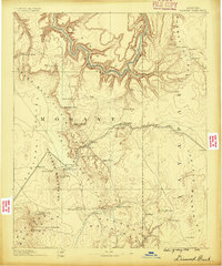
1886 · Diamond Creek
USGS Topo · 1:250,000
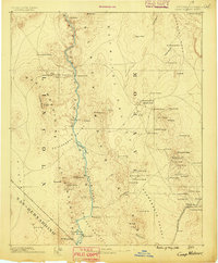
1886 · Camp Mohave
USGS Topo · 1:250,000
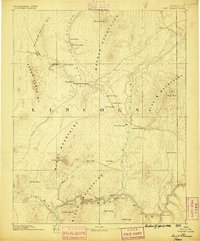
1886 · Saint Thomas
USGS Topo · 1:250,000
1886 · San Francisco Mtns
USGS Topo · 1:250,000
1886 · Mt. Trumbull
USGS Topo · 1:250,000
1886 · Chino
USGS Topo · 1:250,000
1886 · Echo Cliffs
USGS Topo · 1:250,000
1886 · Kaibab
USGS Topo · 1:250,000

1887 · Verde
USGS Topo · 1:250,000

1887 · Prescott
USGS Topo · 1:250,000