Old Maps of Laguna, Arizona for Academic Research
Study the evolution of Laguna with 15 high-resolution historic maps. Whether you're teaching, researching, or modeling changes in land use, these maps provide essential visual documentation of urban, environmental, and geographic change.
- Analyze long-term change: Track patterns in development, transportation, and natural features.
- Ideal for environmental or urban studies: Support academic projects with primary historical map data.
- Use in the classroom or lab: Educators and researchers rely on these maps to bring historical context to life.
These maps are a powerful tool for teaching, research, and visualizing how Laguna has changed over the decades.
Laguna, AZ maps
(15)- 1929 Map of Laguna
 1929 Laguna1929 Print · USGSThe confluence of the Colorado and Gila Rivers is captured here in the late twenties, during a period of significant water management and mining. Trace early river landings and remote desert prospects like Castle Dome Landing and the Old Senator Mine.4 unique versions available
 - 1942 Map of Yuma
 1942 Yuma1942 Print · USGSThe desert frontier near Yuma underwent a massive transformation during the early war years as irrigation and military infrastructure expanded. Researchers can trace the development of the All American Canal Project and locate numerous historic workings like the Fortuna Mine and Old Senator Mine.
 - 1943 Map of Laguna
 1943 Laguna1943 Print · USGSArizona and California meet along the river in the 1940s as massive irrigation works reshape the desert. Trace the engineering of the Imperial Dam, locate the Old Senator Mine, and follow the Southern Pacific line through Dome.
 - 1954 Map of El Centro
 1954 El Centro1954 Print · USGSThe Imperial Valley was at its mid-century agricultural peak when this survey recorded its vast irrigation network and desert borderlands. Researchers can trace the path of the All American Canal or locate local landmarks like Lantana School and the Tumco Mines.
 - 1955 Map of El Centro
 1955 El Centro1955 Print · USGSThe Imperial Valley and the Colorado River borderlands are captured here in the mid-fifties during the peak of the region's irrigation-driven expansion. Researchers can trace the desert's industrial history through the Tumco Mines, the Yuma Test Branch, and rural landmarks like the Palmetto School.
 - 1955 Map of Laguna Dam, 1956 Print
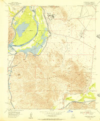 1955 Laguna Dam1956 Print · USGSThe Colorado and Gila Rivers meet in this mid-fifties desert landscape during the height of the Cold War testing era. Genealogists and historians can trace the Butterfield Stage route, locate the Laguna Cem, and find old workings at Los Flores Mine.4 unique versions available
 - 1955 Map of Laguna, 1957 Print
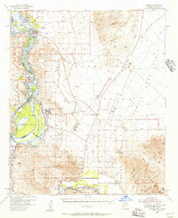 1955 Laguna1957 Print · USGSThe Lower Colorado River desert in the mid-fifties is defined here by massive irrigation works and military testing grounds. Genealogists and historians can trace the Southern Pacific railroad line through Kinter or locate the Old Senator Mine and Castle Dome Landing.3 unique versions available
 - 1958 Map of El Centro, 1972 Print
 1958 El Centro1972 Print · USGSThe Imperial Valley's agricultural heartland and the Colorado River's edge are captured here during a period of massive water infrastructure and military expansion. Genealogists and historians can trace old mining sites like the Ferguson Mine, desert outposts such as Ogilby, and early rail lines including the San Diego and Arizona Eastern.4 unique versions available
 - 1961 Map of El Centro
 1961 El Centro1961 Print · USGSThe California-Arizona borderlands come alive in this early sixties record of desert irrigation and military expansion. Genealogists and researchers can trace the engineering of the All American Canal and locate vanished sites like Araz and the Imperial County Tuberculosis Sanatorium.
 - 1964 Map of El Centro
 1964 El Centro1964 Print · USGSThe agricultural heart of the California desert and the military test ranges of Arizona are revealed in this mid-century study. Genealogists and historians can trace the paths of the Southern Pacific railroad and the All American Canal near El Centro and Yuma.
 - 1993 Map of Yuma
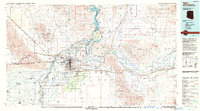 1993 Yuma1993 Print · USGSYuma and the lower Colorado River valley are documented here in the early nineties, showing a landscape defined by massive desert irrigation and military ranges. Trace the rail-and-water economy through the Southern Pacific line and sites like Imperial Dam or the Fortuna Mine.2 unique versions available
 - 2011 Map of Laguna Dam, 2011 Print
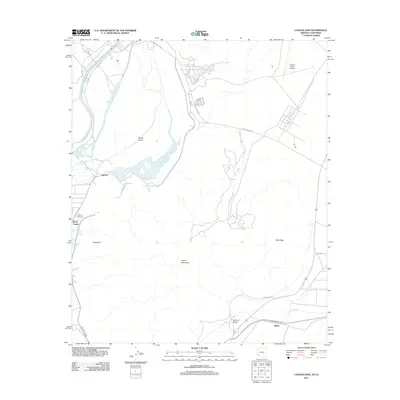 2011 Laguna Dam2011 Print · USGSThe Lower Colorado River desert is defined by its massive water projects and isolated settlements in the early twenty-first century. Researchers can trace irrigation networks like the All-American Canal and locate sites like Laguna Cemetery or Kool Corner.
 - 2014 Map of Laguna Dam, 2014 Print
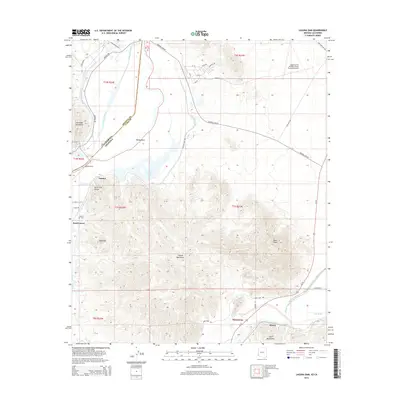 2014 Laguna Dam2014 Print · USGSThe Lower Colorado River desert landscape is captured here in the early twenty-first century as it straddles the California and Arizona border. Researchers can trace irrigation history and local landmarks like the Laguna Dam, McPhaul Bridge, and the Laguna Cem.
 - 2018 Map of Laguna Dam, 2018 Print
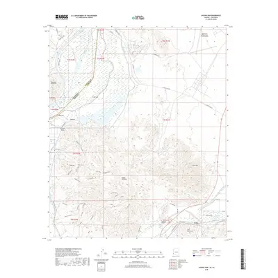 2018 Laguna Dam2018 Print · USGSThe convergence of the Gila and Colorado rivers defines this borderland at the edge of California and Arizona. Researchers can trace irrigation history at Laguna Dam, locate the Laguna Cem, or explore desert landmarks like McPhaul Bridge and Boot Peak.
 - 2021 Map of Laguna Dam, 2021 Print
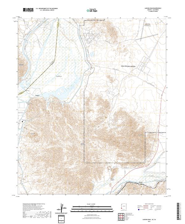 2021 Laguna Dam2021 Print · USGSThe arid borderlands of the Colorado River come into focus in this contemporary survey of the Yuma region. Researchers can trace the massive All-American Canal and locate local landmarks such as Laguna Cem and the McPhaul Bridge.
End of results
Showing maps 1-15 of 15
Top cities near Laguna
- Yuma historical maps
- Fortuna Foothills historical maps
- Somerton historical maps
- Avenue B & C historical maps
- Donovan Estates historical maps
- Martinez Lake historical maps
See more
Frequently asked questions
- What are the different types of historical maps available for Laguna?
- What is the oldest map of Laguna?
- Where can I purchase historical maps of Laguna for my home or office?
- Where can I download high-res historical maps of Laguna?
- Are there historical topographic maps available for Laguna?
- Is there historical aerial imagery available for Laguna?
- Where are historical maps of Laguna sourced from?