
1929 Map of Laguna
USGS Topo · Published 1929About this map
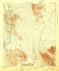
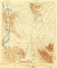
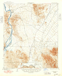
The Colorado River and Gila River converge in this 1920s survey, marking a landscape defined by hydraulic engineering and frontier mining. The presence of the Laguna Dam illustrates the early efforts of the State Water Commissioner to manage the desert's most vital resource. Along the riverbank, Castle Dome Landing remains a key point of reference, reflecting the historical importance of river transit before the full expansion of the Southern Pacific Road through the region.
Find a feature on this map
17 named features on this map. Tap any name to fly to it.
Don’t see what you’re looking for? This feature index may not catch every label — zoom into the map to look around manually.
Map Details
Editions of this 1929 Laguna Map
4 editions found
Other maps of this area

1903 · Yuma
USGS Topo · 1:125,000

1905 · Yuma
USGS Topo · 1:125,000

1926 · Fortuna
USGS Topo · 1:62,500

1926 · Wellton
USGS Topo · 1:62,500

1929 · Fortuna
USGS Topo · 1:62,500

1929 · Wellton
USGS Topo · 1:62,500

1939 · Red Hill
USGS Topo · 1:62,500

1940 · Yuma
USGS Topo · 1:62,500

1942 · Yuma
USGS Topo · 1:250,000

1942 · Blythe
USGS Topo · 1:250,000