
1939 Map of Red Hill
USGS Topo · Published 1939About this map
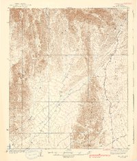
The Chocolate Mountains dominate this arid landscape, where the ridge of Trip Mtn and the prominent Red Hill rise above an intricate system of desert drainages. This 1930s survey reveals the remote mining and transit routes of southwestern Arizona, centered on the expansive Castle Dome Plain. The map documents early infrastructure such as the Quartzite Yuma Road and the Castle Dome Mine Road, which provided essential access to regional mineral interests. Evidence of local industry is specifically anchored by the Annie Mine in the southern reaches. The intricate network of seasonal watercourses, including Indian Wash, McAllister Wash, and Yuma Wash, illustrates the natural hydrological patterns that travelers and miners had to navigate through the desert floor before more modern developments altered these ancient paths.
Find a feature on this map
10 named features on this map. Tap any name to fly to it.
Don’t see what you’re looking for? This feature index may not catch every label — zoom into the map to look around manually.
Map Details
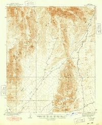
Editions of this 1939 Red Hill Map
3 editions found
Other maps of this area

1903 · Yuma
USGS Topo · 1:125,000

1905 · Yuma
USGS Topo · 1:125,000

1929 · Laguna
USGS Topo · 1:62,500

1934 · Trigo Peaks
USGS Topo · 1:48,000

1939 · Trigo Peaks
USGS Topo · 1:62,500

1942 · Yuma
USGS Topo · 1:250,000

1942 · Blythe
USGS Topo · 1:250,000

1943 · Laguna
USGS Topo · 1:62,500

1945 · Picacho Peak
USGS Topo · 1:62,500

1945 · Cibola
USGS Topo · 1:62,500