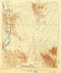
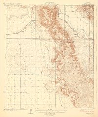
1929 Map of Laguna
USGS Topo · Published 1940About this map
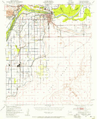
The Colorado River serves as the focal point of this arid landscape, where early twentieth-century engineering and mining efforts converged near the border of Yuma Co and Imperial County. At this stage of development, the Laguna Dam regulated the river's flow while the future site of the Location Imperial Dam was already being marked. The geography is defined by prominent peaks like Sugarloaf and the Laguna Mountains, while the Yuma I R occupies the fertile lands along the river bend. Grounded in surveys from the early 1900s to the mid-1920s, the map reveals a remote network of desert infrastructure, including the Silver District Road and the lonely County Well. In the south, the Southern Pacific railroad follows the course of the Gila River through the town of Dome, passing a Ferry crossing that remained vital for travel between these desert outposts before modern bridge networks.
Find a feature on this map
21 named features on this map. Tap any name to fly to it.
Don’t see what you’re looking for? This feature index may not catch every label — zoom into the map to look around manually.
Map Details
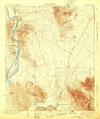
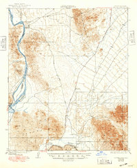
Editions of this 1929 Laguna Map
4 editions found
Other maps of this area

1903 · Yuma
USGS Topo · 1:125,000

1905 · Yuma
USGS Topo · 1:125,000

1926 · Fortuna
USGS Topo · 1:62,500
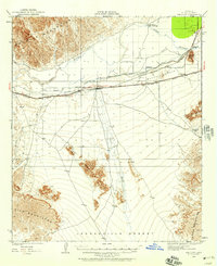
1926 · Wellton
USGS Topo · 1:62,500
1929 · Fortuna
USGS Topo · 1:62,500
1929 · Laguna
USGS Topo · 1:62,500
1929 · Wellton
USGS Topo · 1:62,500
1939 · Red Hill
USGS Topo · 1:62,500
1940 · Yuma
USGS Topo · 1:62,500

1942 · Yuma
USGS Topo · 1:250,000