Old Maps of Ligurta, Arizona for Genealogy
Trace your family roots with 14 historic maps of Ligurta. These high-res maps reveal old neighborhoods, homesites, landmarks, and streets — helping you uncover where your ancestors lived and how the area evolved over time.
- Explore historic neighborhoods: Identify where your relatives may have lived in the 1800s or 1900s.
- Compare maps over time: Trace the changes in streets, buildings, and landmarks for multi-generational research.
- Perfect for genealogy & ancestry research: Used by family historians and researchers to map out lineage and migration.
These maps are an incredible resource for exploring your personal connection to Ligurta's past.
Ligurta, AZ maps
(14)- 1926 Map of Fortuna, 1956 Print
 1926 Fortuna1956 Print · USGSArizona's desert mining and rail corridors are captured here during the mid-1920s as modern utilities began to cross the landscape. Genealogists and historians can trace the Southern Pacific line through Blaisdell or locate the remote Fortuna Mine.
 - 1929 Map of Fortuna
 1929 Fortuna1929 Print · USGSLower Arizona in the late twenties shows a landscape defined by the Gila River and the mining industry. Researchers can trace the Southern Pacific rail line through desert settlements like Blaisdell and Ligurta or locate the Fortuna Mine.4 unique versions available
 - 1942 Map of Yuma
 1942 Yuma1942 Print · USGSThe desert frontier near Yuma underwent a massive transformation during the early war years as irrigation and military infrastructure expanded. Researchers can trace the development of the All American Canal Project and locate numerous historic workings like the Fortuna Mine and Old Senator Mine.
 - 1954 Map of El Centro
 1954 El Centro1954 Print · USGSThe Imperial Valley was at its mid-century agricultural peak when this survey recorded its vast irrigation network and desert borderlands. Researchers can trace the path of the All American Canal or locate local landmarks like Lantana School and the Tumco Mines.
 - 1955 Map of El Centro
 1955 El Centro1955 Print · USGSThe Imperial Valley and the Colorado River borderlands are captured here in the mid-fifties during the peak of the region's irrigation-driven expansion. Researchers can trace the desert's industrial history through the Tumco Mines, the Yuma Test Branch, and rural landmarks like the Palmetto School.
 - 1958 Map of El Centro, 1972 Print
 1958 El Centro1972 Print · USGSThe Imperial Valley's agricultural heartland and the Colorado River's edge are captured here during a period of massive water infrastructure and military expansion. Genealogists and historians can trace old mining sites like the Ferguson Mine, desert outposts such as Ogilby, and early rail lines including the San Diego and Arizona Eastern.4 unique versions available
 - 1961 Map of El Centro
 1961 El Centro1961 Print · USGSThe California-Arizona borderlands come alive in this early sixties record of desert irrigation and military expansion. Genealogists and researchers can trace the engineering of the All American Canal and locate vanished sites like Araz and the Imperial County Tuberculosis Sanatorium.
 - 1964 Map of El Centro
 1964 El Centro1964 Print · USGSThe agricultural heart of the California desert and the military test ranges of Arizona are revealed in this mid-century study. Genealogists and historians can trace the paths of the Southern Pacific railroad and the All American Canal near El Centro and Yuma.
 - 1965 Map of Ligurta, 1966 Print
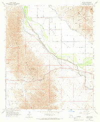 1965 Ligurta1966 Print · USGSIn the Yuma area during the mid-1960s, the desert landscape was being transformed by massive irrigation works and military expansion. You can trace the path of the historic Butterfield Stage Route as it passes the Ligurta settlement and the Southern Pacific tracks.3 unique versions available
 - 1993 Map of Yuma
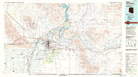 1993 Yuma1993 Print · USGSYuma and the lower Colorado River valley are documented here in the early nineties, showing a landscape defined by massive desert irrigation and military ranges. Trace the rail-and-water economy through the Southern Pacific line and sites like Imperial Dam or the Fortuna Mine.2 unique versions available
 - 2011 Map of Ligurta, 2011 Print
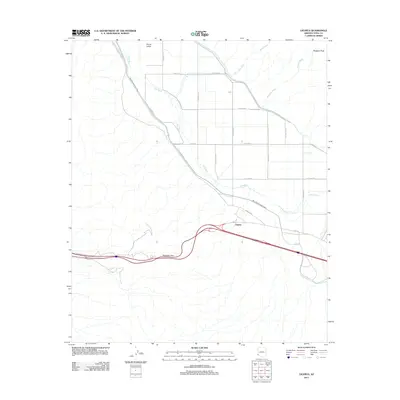 2011 Ligurta2011 Print · USGSArizona's desert transit corridors are captured here at the start of the 2010s, where modern highways follow historic trails. Trace the legacy of the Route of Butterfield Stage near Ligurta and the agricultural grid of Dome Valley.
 - 2014 Map of Ligurta, 2014 Print
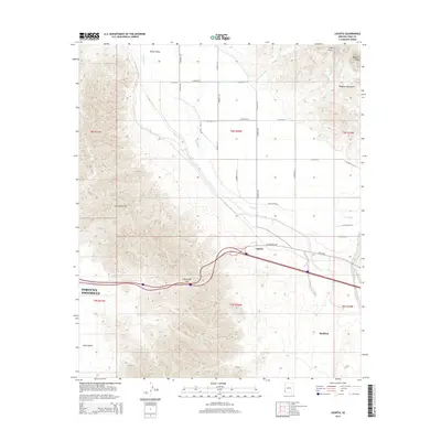 2014 Ligurta2014 Print · USGSYuma County during the early twenty-first century reveals a landscape defined by the Gila River's path and the steep mountain passes. Modern researchers can trace the alignment of Old US-80 through Ligurta or study the desert terrain around Telegraph Pass and Muggins Peak.
 - 2018 Map of Ligurta, 2018 Print
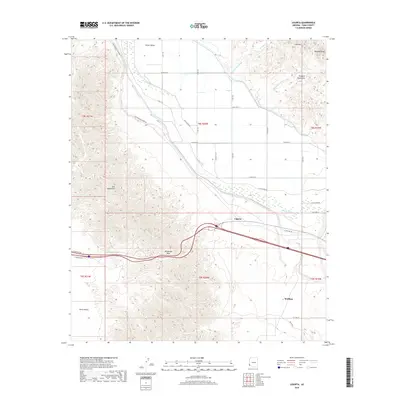 2018 Ligurta2018 Print · USGSThe lower Gila River valley and the Muggins Mountains are captured here in a period of modern desert transit and agriculture. Researchers can trace the legacy of travel through Telegraph Pass and the historic path of the E Butterfield Stage Rd near Ligurta.
 - 2021 Map of Ligurta, 2021 Print
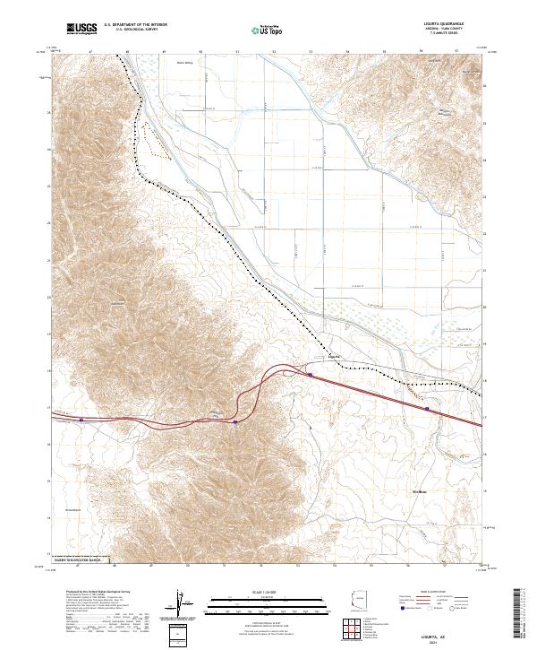 2021 Ligurta2021 Print · USGSThe Yuma Desert and Gila River valley are captured in this modern survey during a period of established desert irrigation. Researchers can trace the legacy of early travel via E Butterfield Stage Rd and Old Hwy 80 near Ligurta.
End of results
Showing maps 1-14 of 14
Top cities near Ligurta
- Yuma historical maps
- Fortuna Foothills historical maps
- Wellton historical maps
- El Prado Estates historical maps
- Wellton Hills historical maps
- Buckshot historical maps
Frequently asked questions
- What are the different types of historical maps available for Ligurta?
- What is the oldest map of Ligurta?
- Where can I purchase historical maps of Ligurta for my home or office?
- Where can I download high-res historical maps of Ligurta?
- Are there historical topographic maps available for Ligurta?
- Is there historical aerial imagery available for Ligurta?
- Where are historical maps of Ligurta sourced from?