1960s Maps of Arkansas County, Arkansas
Explore 25 historic maps of Arkansas County from the 1960s. These maps offer a rare glimpse into what life looked like during the 1960s — showing old roads, neighborhoods, homes, and landmarks that have changed or disappeared over time.
Whether you're researching your family's past, planning a metal detecting trip, or studying how Arkansas County's landscape evolved across the 1960s, these high-resolution maps are a powerful tool for exploring the history of this region.
- Focus on a specific era: All maps on this page are from the 1960s, giving you a focused view of this time period.
- See what’s changed: Compare century-old streets, trails, and buildings to today's modern landscape using overlays and satellite layers.
- Research with precision: Use these maps for genealogy, historical research, land use analysis, or educational projects.
- View, download, or print: Maps are fully viewable online in high resolution, and can be downloaded or printed for your own records.
Start exploring Arkansas County's history through authentic maps from the 1960s. This is your window into the past.
Arkansas County, AR maps
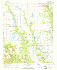
(25)- 1960 Map of Helena
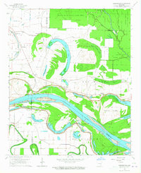
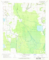
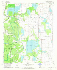
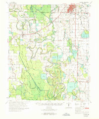
 1960 Helena1960 Print · USGSThe Arkansas and Mississippi Delta regions meet along the great river bends during a period of significant agricultural and rail expansion. Genealogists and historians can trace the paths of the Missouri Pacific railroad through Clarendon or locate landings along the Mississippi River and White River.
 - 1964 Map of Cornerstone, 1965 Print
 1964 Cornerstone1965 Print · USGSThe river bottoms of Jefferson and Lincoln counties are captured here in the mid-1960s, showing a landscape defined by the Arkansas River and its ancient oxbows. Researchers can locate early rural landmarks like Eudora School and the English Cemetery, alongside small settlements such as Cornerstone and Elmwood.2 unique versions available
 - 1964 Map of Reydell, 1965 Print
 1964 Reydell1965 Print · USGSThe Arkansas Delta near the Jefferson and Lincoln county line is shown here in the mid-sixties, dominated by the wetlands of the Bayou Meto State Game Area. Researchers can trace old family landmarks like Abbey Cem, the Hannaberry Sch, and the riverside settlement of Reydell.2 unique versions available
 - 1967 Map of Snow Lake, 1968 Print
 1967 Snow Lake1968 Print · USGSThe Arkansas delta near the confluence of two great rivers comes to life in the late 1960s, showing a landscape shaped by levees and rail. Researchers can trace local heritage at Thompsons Cem, visit the settlement of Snow Lake, or locate New Canaan Ch near the wetlands.2 unique versions available
 - 1967 Map of Henrico NE, 1968 Print
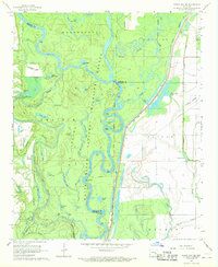
 1967 Henrico NE1968 Print · USGSThe Arkansas riverlands come alive in this mid-century survey of the White River delta. Genealogists and historians can trace river-dependent livelihoods through old sites like Haddons Landing, H Lake Landing, and the wooded stretches of Little Island.3 unique versions available
 - 1967 Map of Ethel, 1968 Print
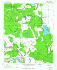
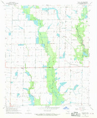
 1967 Ethel1968 Print · USGSArkansas County during the late 1960s shows a transition from the wooded White River bottomlands to the irrigated prairie. Genealogists can locate family landmarks like St John Cem, Hill Chapel, and the ancient Indian Mound along the bayous.2 unique versions available
 - 1967 Map of Indian Bay SE, 1968 Print
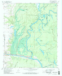
 1967 Indian Bay SE1968 Print · USGSThe Arkansas Delta's bottomlands are preserved in the late sixties within the White River National Wildlife Refuge. Researchers can trace old river landings and local family landmarks like Hortons Landing, Jones Cem, and Eagle Nest Lake.3 unique versions available
 - 1967 Map of Turner, 1968 Print
 1967 Turner1968 Print · USGSMonroe and Phillips counties come alive in the late sixties as the White River bottomlands give way to a network of rural settlements. Genealogists and local historians can trace family roots at Israel Cem, St John Ch, and the community of Turner.2 unique versions available
 - 1967 Map of Weber, 1968 Print
 1967 Weber1968 Print · USGSThe Arkansas riverlands near Weber come to life in this late-sixties survey, showing a landscape of deep bayous and rising ridges. Researchers can locate remote landmarks like the Tipsy Cem, the Indian Mound, and the small community of Deluce.2 unique versions available
 - 1967 Map of Henrico SW, 1968 Print
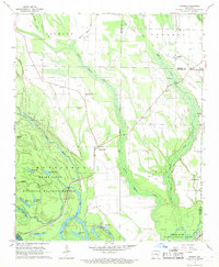
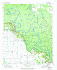
 1967 Henrico SW1968 Print · USGSThe Arkansas Delta comes alive in this late 1960s survey, showing the winding White River and the newly engineered Arkansas Post Canal. Genealogists and historians can trace local landmarks like Malcolm Chapel, Hockenberry Cem, and river access at Jacks Bay Landing.3 unique versions available
 - 1967 Map of Crocketts Bluff, 1968 Print
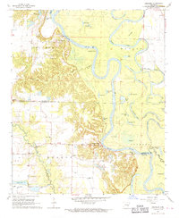
 1967 Crocketts Bluff1968 Print · USGSThe Arkansas River Delta bottomlands are captured here in the late 1960s, showing the complex interaction of agriculture and river wildness. Researchers can locate family landmarks like Lutheran Cemetery and Hopewell Church or trace the early waterfront at Crocketts Bluff.3 unique versions available
 - 1967 Map of Humphrey, 1969 Print
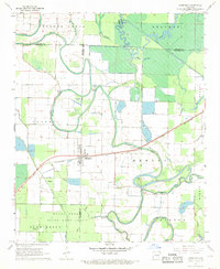 1967 Humphrey1969 Print · USGSSurrounding the tri-county junction of Lonoke, Jefferson, and Arkansas counties in the 1960s, this area showcases the intersection of rail and delta wetlands. Genealogists can trace family footprints near Humphrey and rural landmarks like Bayou Meto Ch or Argo Chapel.3 unique versions available
 - 1968 Map of De Witt, 1969 Print
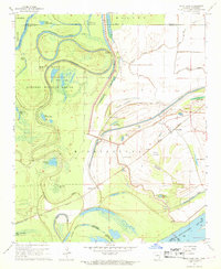
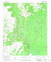
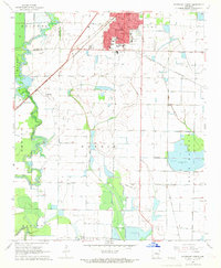
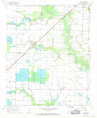
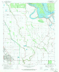
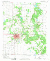 1968 De Witt1969 Print · USGSDe Witt and its surrounding Arkansas County prairie lands are shown here in the late sixties, highlighting the region's agricultural and civic layout. Genealogists can locate family burial sites at Thompson Cem or Malone Cem and trace the paths of the St Louis Southwestern railroad.
 - 1968 Map of Humphrey SW, 1969 Print
 1968 Humphrey SW1969 Print · USGSThe bottomlands of the Arkansas delta are preserved here in the late sixties, where the Jefferson and Arkansas county lines meet. Genealogists and local historians can locate Williams Cem, the small settlement of Vallier, and rural landmarks like Corinth Ch.3 unique versions available
 - 1968 Map of Stuttgart South, 1969 Print
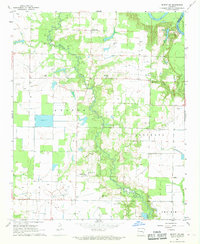
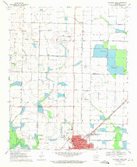
 1968 Stuttgart South1969 Print · USGSThe Grand Prairie region around Stuttgart comes into focus in the late sixties, showing an agricultural hub defined by its rail connections and irrigation. Genealogy researchers can trace family landmarks like Lone Tree Cemetery, St Johns Sch, and the community at Goldman.2 unique versions available
 - 1968 Map of De Witt NE, 1969 Print
 1968 De Witt NE1969 Print · USGSIn the late sixties, the Arkansas Grand Prairie was a landscape defined by delta agriculture and rural congregations. Researchers can trace the heritage of the Keaton and Crockett districts through local landmarks like Emanuel and St Olive Ch.
 - 1968 Map of Almyra, 1969 Print
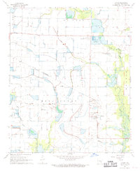 1968 Almyra1969 Print · USGSThe Arkansas Grand Prairie during the late sixties shows a landscape of technological agriculture and established rural communities. Genealogists and historians can trace family roots at Yoder Cem or explore the infrastructure of the Experimental Fish Farm and Almyra Municipal Airport.
 - 1968 Map of Lodge Corner, 1969 Print
 1968 Lodge Corner1969 Print · USGSArkansas County during the late sixties showcases a landscape of rice reservoirs and bayou drainage systems. Researchers can locate remote rural landmarks like Youngblood Bridge, Bayless Cem, and the small settlement at Lodge Corner.3 unique versions available
 - 1968 Map of Ulm, 1970 Print
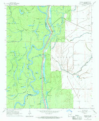
 1968 Ulm1970 Print · USGSThe Grand Prairie region of Arkansas is captured here in the late 1960s, showing a landscape defined by rice farming and rail transit. Researchers can trace the layout of Ulm and find local landmarks like St Paul Ch, Zion Cem, and the St Louis Southwestern railroad.
 - 1968 Map of De Witt SW, 1970 Print
 1968 De Witt SW1970 Print · USGSThe Grand Prairie region of Arkansas County appears here in the late sixties, showing a landscape of rice fields and bottomlands. Genealogists and local historians can trace the rural communities of Olena and Kittlers along the St Louis Southwestern rail line.2 unique versions available
 - 1968 Map of Aberdeen, 1970 Print
 1968 Aberdeen1970 Print · USGSThe White River bottomlands of the Arkansas Delta are seen here in the late sixties, where river crossings and bayou life define the landscape. Trace local heritage at Preston Ferry, the Indian Mound, and rural landmarks like Hunter Chapel or Mt Pisgah Cem.2 unique versions available
 - 1969 Map of Humphrey
 1969 Humphrey1969 Print · USGSSoutheast Arkansas in the late sixties reveals a landscape of rice farming and rail commerce centered on Stuttgart. Trace the routes of the Southwestern Railway or locate rural landmarks like Lodge Corner, Argo Chapel, and Sunshine Cem.
 - 1969 Map of Watson, 1971 Print
 1969 Watson1971 Print · USGSDesha and Arkansas Counties are captured here in the late sixties as the river still dictated the rhythm of delta life. Genealogists and historians can trace the many country churches and family plots, from Jerusalem Ch to Gentry Cem and Barnett Cem.
 - 1969 Map of Dumas, 1971 Print
 1969 Dumas1971 Print · USGSThe Arkansas Delta comes to life in the late 1960s as a landscape of river-bend lakes and rail-side towns. Genealogists can locate family landmarks like Havis Chapel, the Pendleton Ferry crossing, and the rural Leach Cem near the river's edge.2 unique versions available
 - 1969 Map of Stuttgart North, 1971 Print
 1969 Stuttgart North1971 Print · USGSStuttgart and the Grand Prairie region are seen here at the close of the sixties, shaped by a complex network of reservoirs and irrigation flumes. Genealogists can locate several rural burial sites like Tate Cem and Talman Cem, or trace the tracks of the St Louis Southwestern railroad.
End of results
Showing maps 1-25 of 25
Top cities of Arkansas County
- Stuttgart historical maps
- DeWitt historical maps
- Gillett historical maps
- Almyra historical maps
- Saint Charles historical maps
Frequently asked questions
- What are the different types of historical maps available for Arkansas County?
- What is the oldest map of Arkansas County?
- Where can I purchase historical maps of Arkansas County for my home or office?
- Where can I download high-res historical maps of Arkansas County?
- Are there historical topographic maps available for Arkansas County?
- Is there historical aerial imagery available for Arkansas County?
- Where are historical maps of Arkansas County sourced from?