Old Maps of Shady Grove, Arkansas for Metal Detecting
Plan your next treasure hunt with 17 historic maps of Shady Grove. Find old homesites, ghost towns, trails, and gathering spots that may be lost to time — perfect for identifying promising metal detecting locations.
- Locate forgotten sites: Uncover places like long-lost settlements, abandoned rail lines, or gathering spots.
- Plan better hunts: Use map overlays combined with LiDAR or satellite views to narrow in on historically rich areas.
- Made for detectorists: Thousands of hobbyists use these maps to discover relics, coins, and hidden history.
Use these historic maps to boost your research and find new opportunities beneath the surface of Shady Grove.
Shady Grove, AR maps
(17)- 1890 Map of Mountain Home, 1954 Print
 1890 Mountain Home1954 Print · USGSThe Ozark plateau in the late nineteenth century remains a rugged landscape of winding river valleys and isolated hilltop settlements. Genealogists can trace family footprints across Mountain Home, Buffalo City, and Calico Rock before modern dams reshaped the White River.
 - 1891 Map of Mountain Home
 1891 Mountain Home1891 Print · USGSThe Ozark wilderness around Mountain Home is shown here in the late nineteenth century, dominated by a wild river system. Researchers can trace the network of old river crossings like Traceys F'y and Nelsons F'y alongside early towns such as Buffalo City.
 - 1894 Map of Mountain Home
 1894 Mountain Home1894 Print · USGSNorthern Arkansas in the 1890s was a rugged territory defined by the winding White and Buffalo rivers. Genealogists and local historians can trace early river crossings and settlements like Traceys Fy & Fd, Ships Fy, Buffalo City, and Henderson.6 unique versions available
 - 1945 Map of Harrison
 1945 Harrison1945 Print · USGSThe Ozark and Boston Mountains straddle the Missouri-Arkansas border during the mid-forties, showing a landscape of forest ridges and river valleys. Genealogists and historians can trace rail-connected towns like Monett and West Plains or early lake developments at Bull Shoals Res and Norfork Lake.
 - 1949 Map of Harrison
 1949 Harrison1949 Print · USGSThe Ozark highlands of northern Arkansas and southern Missouri are shown just after the war, when the White River still followed its original course. Genealogists and historians can trace rail lines like the Missouri & Arkansas RR and locate rural hubs like Harrison, Eureka Springs, and Mountain Home.
 - 1954 Map of Harrison
 1954 Harrison1954 Print · USGSThe Ozarks and Boston Mountains meet during a period of massive river engineering in the mid-fifties. Researchers can trace the early shorelines of Bull Shoals Lake and Table Rock Reservoir or locate inland towns like Berryville and Harrison.
 - 1958 Map of Harrison, 1973 Print
 1958 Harrison1973 Print · USGSThe Ozark and Boston Mountains appear in this mid-century survey as the great White River impoundments were reshaping the region. Researchers can trace the rail lines of the St Louis-San Francisco Ry and locate early settlements like Berryville and Gainesville.
 - 1964 Map of Harrison
 1964 Harrison1964 Print · USGSThe Ozark and Boston Mountains of Arkansas and Missouri are captured here in the mid-sixties, showing the rugged highlands before extensive modern development. Genealogists and historians can trace family-named peaks like Gaither Mountain and follow the St Louis-San Francisco RR through Monett and Purdy.
 - 1966 Map of Mountain Home West, 1967 Print
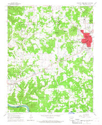 1966 Mountain Home West1967 Print · USGSThe Ozark plateau around Mountain Home and Gassville is captured here during a period of steady mid-century growth. Genealogists and local historians can trace rural family sites like Pilgrims Rest Cem, Monkey Run, and the Hopewell Ch.2 unique versions available
 - 1979 Map of Mountain Home West, 1981 Print
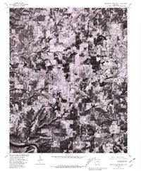 1979 Mountain Home West1981 Print · USGSBaxter County at the close of the seventies is seen in detail, showing the rural landscape before later development changed the area. Genealogists and researchers can trace land patterns and local landmarks from Mountain Home to Gassville and the banks of the White River.
 - 1985 Map of Bull Shoals Lake
 1985 Bull Shoals Lake1985 Print · USGSThe mid-1980s Ozark Plateau is captured here during a era of significant growth around the sprawling shorelines of Bull Shoals Lake and Norfork Lake. Genealogists and historians can trace the rail-and-river economy through Buffalo City and the Missouri Pacific RR line.
 - 1985 Map of Harrison
 1985 Harrison1985 Print · USGSThe Ozark highlands and the White River valley are seen here in the mid-1980s, showcasing a region defined by its massive reservoirs and protected wilderness. You can trace the rugged corridors of the Missouri & North Arkansas RR or locate historic settlements like Eureka Springs and Jasper.
 - 2011 Map of Mountain Home West, 2011 Print
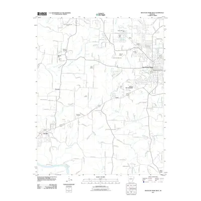 2011 Mountain Home West2011 Print · USGSMountain Home and the surrounding Baxter County countryside are shown here at the start of the 2010s. Researchers can locate many local landmarks, from the Mountain Home Post Office and Gassville to rural sites like Wesley Chapel and Monkey Run.
 - 2014 Map of Mountain Home West, 2014 Print
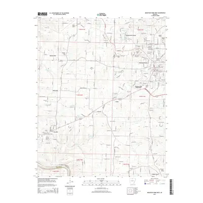 2014 Mountain Home West2014 Print · USGSMountain Home and Gassville are captured here during a period of modern growth in the Arkansas Ozarks. Researchers can trace family roots at Wesley Chapel Cem, locate the campus of Arkansas State University-Mountain Home, or follow the winding White River.
 - 2017 Map of Mountain Home West, 2017 Print
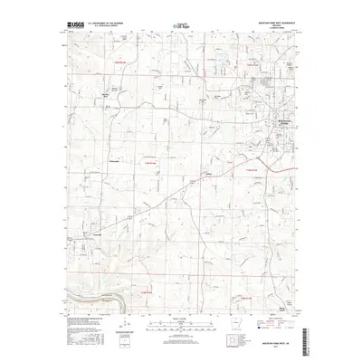 2017 Mountain Home West2017 Print · USGSThe Baxter County uplands meet the White River in the late 2010s, showing a landscape of established hill-country settlements and modern growth. Genealogists and local historians can trace rural heritage through sites like Monkey Run, Whiteville Cem, and Gassville Cem.
 - 2020 Map of Mountain Home West, 2020 Print
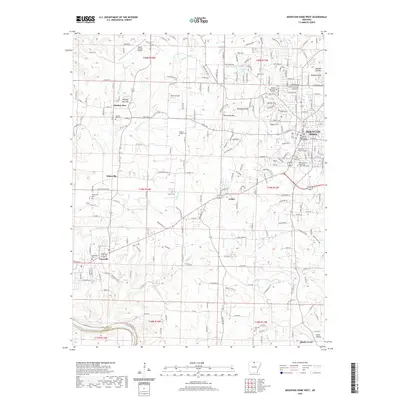 2020 Mountain Home West2020 Print · USGSMountain Home and Gassville appear at a time of continued growth in the Ozarks during the early twenty-first century. Researchers can locate family landmarks like Wesley Chapel Cem or trace the historic path of Old Military Rd near Colfax.
 - 2024 Map of Mountain Home West, 2024 Print
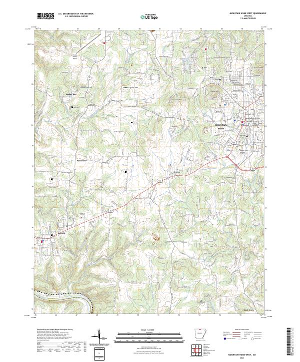 2024 Mountain Home West2024 Print · USGSBaxter County at the present day shows a blend of growing civic centers and quiet rural highlands. Researchers can trace the layout of MOUNTAIN HOME alongside older local landmarks like Monkey Run, Colfax, and the historic Old Military Rd.
End of results
Showing maps 1-17 of 17
Top cities near Shady Grove
- Mountain Home historical maps
- Bull Shoals historical maps
- Gassville historical maps
- Flippin historical maps
- Cotter historical maps
- Calico Rock historical maps
See more
Frequently asked questions
- What are the different types of historical maps available for Shady Grove?
- What is the oldest map of Shady Grove?
- Where can I purchase historical maps of Shady Grove for my home or office?
- Where can I download high-res historical maps of Shady Grove?
- Are there historical topographic maps available for Shady Grove?
- Is there historical aerial imagery available for Shady Grove?
- Where are historical maps of Shady Grove sourced from?