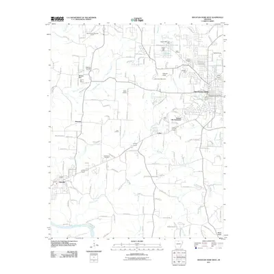
2011 Map of Mountain Home West
USGS Topo · Published 2011About this map
The White River flows along the southern edge of this region, defining the terrain as it winds past Shady Grove. The area around Mountain Home and Western Hills Subdivision shows significant residential development, while the western portion maintains a more rural character with small settlements like Monkey Run and Whiteville. Family history and local heritage are well-preserved across the landscape through numerous burial grounds, including Pilgrims Rest Cemetery, Tucker Cemetery, and Baxter Memorial Gardens.
Find a feature on this map
167 named features on this map. Tap any name to fly to it.
Don’t see what you’re looking for? This feature index may not catch every label — zoom into the map to look around manually.
Map Details
Editions of this 2011 Mountain Home West Map
This is the sole edition of this map. No revisions or reprints were ever made.
Other maps of this area

1890 · Mountain Home
USGS Topo · 1:125,000

1891 · Mountain Home
USGS Topo · 1:125,000

1893 · Yellville
USGS Topo · 1:125,000

1894 · Mountain Home
USGS Topo · 1:125,000

1903 · Yellville
USGS Topo · 1:125,000

1905 · Yellville
USGS Topo · 1:125,000

1929 · Yellville
USGS Topo · 1:125,000

1945 · Harrison
USGS Topo · 1:250,000

1949 · Harrison
USGS Topo · 1:250,000

1954 · Harrison
USGS Topo · 1:250,000