Old Maps of Empire, Arkansas for Metal Detecting
Plan your next treasure hunt with 11 historic maps of Empire. Find old homesites, ghost towns, trails, and gathering spots that may be lost to time — perfect for identifying promising metal detecting locations.
- Locate forgotten sites: Uncover places like long-lost settlements, abandoned rail lines, or gathering spots.
- Plan better hunts: Use map overlays combined with LiDAR or satellite views to narrow in on historically rich areas.
- Made for detectorists: Thousands of hobbyists use these maps to discover relics, coins, and hidden history.
Use these historic maps to boost your research and find new opportunities beneath the surface of Empire.
Empire, AR maps
(11)- 1936 Map of Eudora, 1943 Print
 1936 Eudora1943 Print · USGSSoutheast Arkansas and northeast Louisiana are captured here in the mid-1930s, showing a landscape shaped by water management and rail transport. Researchers can trace the early energy infrastructure of the Standard Oil Pipe Line or locate rural landmarks like Holly Ridge Ch and Empire.
 - 1953 Map of Greenwood, 1966 Print
 1953 Greenwood1966 Print · USGSThe Mississippi Delta in the mid-fifties is captured here as a thriving network of river towns, railroads, and oxbow lakes. Researchers can trace the legacy of the Illinois Central Railroad and locate landmarks like the State Penal Farm and Greenville Air Force Base.5 unique versions available
 - 1956 Map of Greenwood
 1956 Greenwood1956 Print · USGSThe Mississippi Delta in the mid-fifties is captured here during a period of significant military and agricultural activity. Researchers can trace the rail lines of the Illinois Central RR, find the Greenville Air Force Base, or locate the State Penal Farm.
 - 1957 Map of Eudora
 1957 Eudora1957 Print · USGSSoutheast Arkansas and Northeast Louisiana are captured here in the late 1950s, showing a delta landscape defined by winding bayous and rural community life. Researchers can trace family roots through numerous local landmarks like Masons Cem, Ross Van Ness Sch, and Holly Sch.2 unique versions available
 - 1981 Map of Empire, 1982 Print
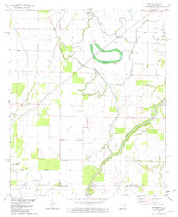 1981 Empire1982 Print · USGSThe Arkansas-Louisiana borderlands come into focus in the early 1980s, revealing a landscape of delta bayous and small rural settlements. Genealogists and local historians can trace family ties at Millers Chapel Cem or locate the community centers of Empire and Green Grove Ch.
 - 1986 Map of Crossett
 1986 Crossett1986 Print · USGSSoutheast Arkansas and the Mississippi Delta meet in the mid-1980s, revealing a landscape of rail-linked towns and river bottomlands. Researchers can trace the Missouri Pacific line through Hamburg and Parkdale or locate Millers Chapel and Winterville Mounds State Park.2 unique versions available
 - 2011 Map of Empire, 2011 Print
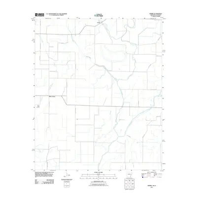 2011 Empire2011 Print · USGSThe Arkansas-Louisiana borderlands appear here in the early twenty-first century as a landscape of winding bayous and rural settlements. Researchers can locate family landmarks like Millers Chapel Cemetery or trace the complex waters of the Boeuf River and Lafourche Bayou.
 - 2014 Map of Empire, 2014 Print
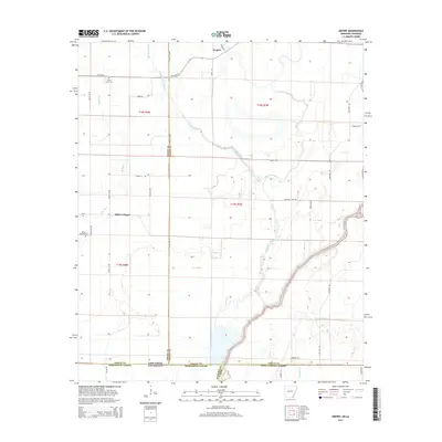 2014 Empire2014 Print · USGSThe Arkansas-Louisiana state line comes into focus in this early twenty-first-century survey of the delta lowlands. Genealogists and local historians can trace family roots through sites like Millers Chapel Cem or follow the winding Boeuf River.
 - 2017 Map of Empire, 2017 Print
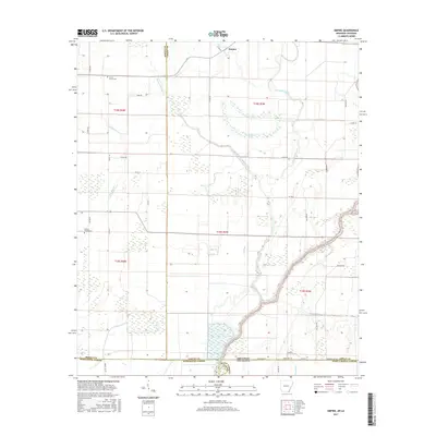 2017 Empire2017 Print · USGSThe Arkansas-Louisiana borderlands come into focus in this recent survey of the bayous and bottomlands. Genealogists and researchers can pinpoint family landmarks like Millers Chapel Cem and Green Grove Cem near the winding Boeuf River.
 - 2020 Map of Empire, 2020 Print
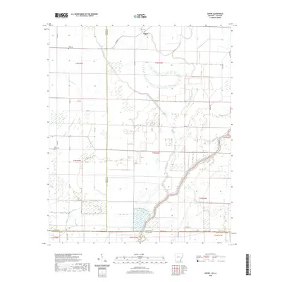 2020 Empire2020 Print · USGSThe Arkansas-Louisiana borderlands in the early twenty-first century are defined by the winding Boeuf River and a deep network of delta bayous. Researchers can locate the settlement of Empire and trace family heritage at Millers Chapel Cem or Green Grove Cem.
 - 2024 Map of Empire, 2024 Print
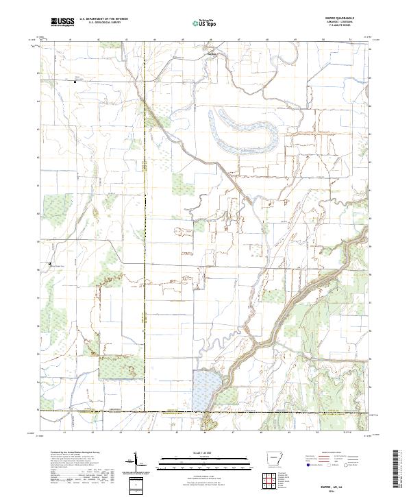 2024 Empire2024 Print · USGSThe Arkansas-Louisiana borderlands come into focus in this recent survey of the Chicot County and Morehouse Parish line. Genealogists and local historians can trace family land and rural landmarks like Green Grove Cem, Millers Chapel Cem, and the waters of Lafourche Bayou.
End of results
Showing maps 1-11 of 11
Top cities near Empire
- Eudora historical maps
- Lake Village historical maps
- Wilmot historical maps
- Portland historical maps
- Kilbourne historical maps
- Montrose historical maps
See more
Frequently asked questions
- What are the different types of historical maps available for Empire?
- What is the oldest map of Empire?
- Where can I purchase historical maps of Empire for my home or office?
- Where can I download high-res historical maps of Empire?
- Are there historical topographic maps available for Empire?
- Is there historical aerial imagery available for Empire?
- Where are historical maps of Empire sourced from?