Old Maps of Gum Corner, Arkansas for Genealogy
Trace your family roots with 11 historic maps of Gum Corner. These high-res maps reveal old neighborhoods, homesites, landmarks, and streets — helping you uncover where your ancestors lived and how the area evolved over time.
- Explore historic neighborhoods: Identify where your relatives may have lived in the 1800s or 1900s.
- Compare maps over time: Trace the changes in streets, buildings, and landmarks for multi-generational research.
- Perfect for genealogy & ancestry research: Used by family historians and researchers to map out lineage and migration.
These maps are an incredible resource for exploring your personal connection to Gum Corner's past.
Gum Corner, AR maps
(11)- 1936 Map of Eudora, 1943 Print
 1936 Eudora1943 Print · USGSSoutheast Arkansas and northeast Louisiana are captured here in the mid-1930s, showing a landscape shaped by water management and rail transport. Researchers can trace the early energy infrastructure of the Standard Oil Pipe Line or locate rural landmarks like Holly Ridge Ch and Empire.
 - 1953 Map of Greenwood, 1966 Print
 1953 Greenwood1966 Print · USGSThe Mississippi Delta in the mid-fifties is captured here as a thriving network of river towns, railroads, and oxbow lakes. Researchers can trace the legacy of the Illinois Central Railroad and locate landmarks like the State Penal Farm and Greenville Air Force Base.5 unique versions available
 - 1956 Map of Greenwood
 1956 Greenwood1956 Print · USGSThe Mississippi Delta in the mid-fifties is captured here during a period of significant military and agricultural activity. Researchers can trace the rail lines of the Illinois Central RR, find the Greenville Air Force Base, or locate the State Penal Farm.
 - 1957 Map of Eudora
 1957 Eudora1957 Print · USGSSoutheast Arkansas and Northeast Louisiana are captured here in the late 1950s, showing a delta landscape defined by winding bayous and rural community life. Researchers can trace family roots through numerous local landmarks like Masons Cem, Ross Van Ness Sch, and Holly Sch.2 unique versions available
 - 1981 Map of Eudora North, 1982 Print
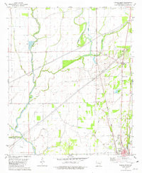 1981 Eudora North1982 Print · USGSChicot County at the start of the 1980s reveals a delta landscape defined by meandering waterways and small agricultural crossroads. Genealogists and local historians can trace family roots through landmarks like Holly Ridge Ch, the Eudora townsite, and the rural junction at Gum Corner.
 - 1986 Map of Crossett
 1986 Crossett1986 Print · USGSSoutheast Arkansas and the Mississippi Delta meet in the mid-1980s, revealing a landscape of rail-linked towns and river bottomlands. Researchers can trace the Missouri Pacific line through Hamburg and Parkdale or locate Millers Chapel and Winterville Mounds State Park.2 unique versions available
 - 2011 Map of Eudora North, 2011 Print
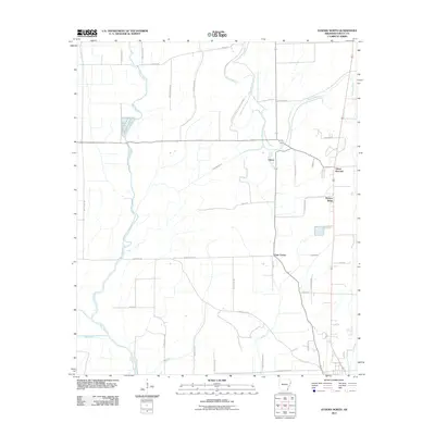 2011 Eudora North2011 Print · USGSChicot County in the early twenty-first century remains a landscape of winding bayous and rural hubs. Researchers can trace family history along roads like Calvin Davis Rd and locate crossroads settlements such as Gum Corner and Hickory Ridge.
 - 2014 Map of Eudora North, 2014 Print
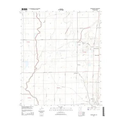 2014 Eudora North2014 Print · USGSSoutheast Arkansas in the early twenty-first century reveals a landscape shaped by the Boeuf River and the rural communities of Chicot County. Researchers can trace family history at Holly Grove Cem Number 1 or locate old junctions at Gum Corner and Chicot.
 - 2017 Map of Eudora North, 2017 Print
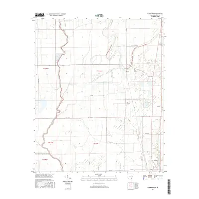 2017 Eudora North2017 Print · USGSSoutheastern Arkansas delta life is captured here in the late twenty-tens, showing the rural landscapes around Eudora and Chicot. Researchers can locate family landmarks like Holly Grove Cem Number 2 or trace old routes like Old Hwy 65 and Serio Rd.
 - 2020 Map of Eudora North, 2020 Print
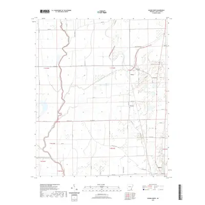 2020 Eudora North2020 Print · USGSChicot County at the start of the 2020s shows a landscape deeply defined by its delta waterways and rural heritage. Researchers can trace the layout of local burial grounds like Holly Grove Cem Number 1 and the winding course of Bayou Macon.
 - 2024 Map of Eudora North, 2024 Print
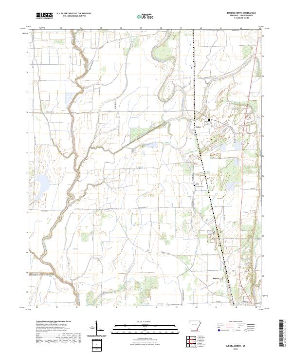 2024 Eudora North2024 Print · USGSChicot County at the edge of the Mississippi Delta is a landscape of winding waterways and rural crossroads. Researchers can trace family sites at Holly Grove Cem Number 1 or follow the paths of Bayou Macon and the Boeuf River.
End of results
Showing maps 1-11 of 11
Top cities near Gum Corner
- Greenville historical maps
- Eudora historical maps
- Lake Village historical maps
- Portland historical maps
- Kilbourne historical maps
- Montrose historical maps
Frequently asked questions
- What are the different types of historical maps available for Gum Corner?
- What is the oldest map of Gum Corner?
- Where can I purchase historical maps of Gum Corner for my home or office?
- Where can I download high-res historical maps of Gum Corner?
- Are there historical topographic maps available for Gum Corner?
- Is there historical aerial imagery available for Gum Corner?
- Where are historical maps of Gum Corner sourced from?