Old Maps of Kingsland, Arkansas for Genealogy
Trace your family roots with 18 historic maps of Kingsland. These high-res maps reveal old neighborhoods, homesites, landmarks, and streets — helping you uncover where your ancestors lived and how the area evolved over time.
- Explore historic neighborhoods: Identify where your relatives may have lived in the 1800s or 1900s.
- Compare maps over time: Trace the changes in streets, buildings, and landmarks for multi-generational research.
- Perfect for genealogy & ancestry research: Used by family historians and researchers to map out lineage and migration.
These maps are an incredible resource for exploring your personal connection to Kingsland's past.
Kingsland, AR maps
(18)- 1953 Map of El Dorado, 1967 Print
 1953 El Dorado1967 Print · USGSSouth Arkansas in the mid-1960s was a landscape of industrial growth and river-fed commerce. Researchers can trace the extensive Oil and Gas Fields around Magnolia, the expansive U S Naval Ammunition Depot, and the busy rail lines of the Missouri Pacific.3 unique versions available
 - 1957 Map of El Dorado
 1957 El Dorado1957 Print · USGSSouth Arkansas in the mid-1950s was a critical hub of military logistics and rail-river commerce. Genealogists and historians can trace family land across the Arkansas Louisiana border and locate sites like the U.S. Naval Ammunition Depot or the rail junctions at Magnolia and Camden.
 - 1958 Map of El Dorado
 1958 El Dorado1958 Print · USGSSouthern Arkansas and the Louisiana borderlands are shown during a period of heavy rail traffic and defense industry activity. Researchers can trace the legacy of the U. S. Naval Ammunition Depot or locate family roots in Smackover, Huttig, and Nashville.3 unique versions available
 - 1960 Map of El Dorado
 1960 El Dorado1960 Print · USGSSouth Central Arkansas in the late fifties was a hub of energy production and defense industry. Researchers can trace the extensive Oil and Gas Fields around El Dorado or locate family landmarks like Old Park Cem and New Hope Church.
 - 1966 Map of Kingsland, 1967 Print
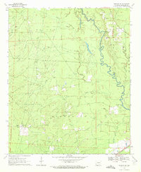
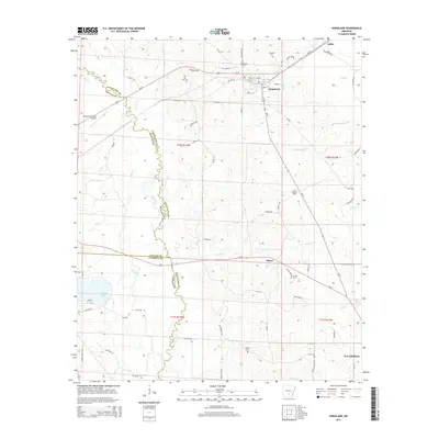
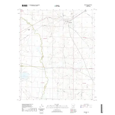
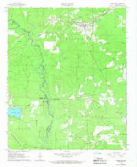 1966 Kingsland1967 Print · USGSKingsland and its surrounding timberlands are captured in the mid-1960s, a period when the river-and-rail economy still shaped south-central Arkansas. Researchers can trace family roots through several local landmarks like Kingsland Cemetery, Smith Church, and Morgan Cemetery.2 unique versions available
 - 1970 Map of Fordyce NE, 1972 Print
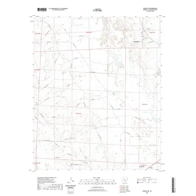
 1970 Fordyce NE1972 Print · USGSCleveland County in the early 1970s was defined by its river-bend geography and a scattered network of rural parishes and family landings. Genealogists and historians can trace old homesteads and crossings like Channings Ferry, Seymore Cem, and the Rainbow Tabernacle.2 unique versions available
 - 1986 Map of Camden
 1986 Camden1986 Print · USGSSouth Arkansas in the 1980s remains a landscape shaped by river valleys and the legacy of the timber industry. Researchers can trace the massive Abandoned Ammunition Depot or locate family roots in Eagle Mills, Bearden, and Tinsman.
 - 1989 Map of El Dorado, 1990 Print
 1989 El Dorado1990 Print · USGSThe Arkansas-Louisiana borderlands in the late eighties show a landscape of heavy industry and wildlife conservation centered on the Ouachita River. Researchers can trace the legacy of timber and transport via the Missouri Pacific RR, Poison Springs State Forest, and the vast Felsenthal Pool.
 - 2011 Map of Fordyce NE, 2011 Print
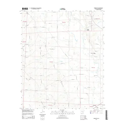
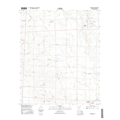
 2011 Fordyce NE2011 Print · USGSCovers Kingsland, including Canoe Landing, Gum Springs, and other nearby areas
 - 2011 Map of Kingsland, 2011 Print
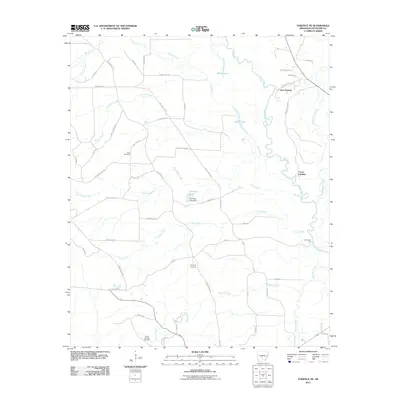
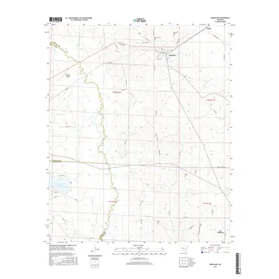
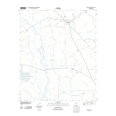 2011 Kingsland2011 Print · USGSCovers Kingsland, including Saline, Tipton, and other nearby areas
 - 2014 Map of Kingsland, 2014 Print
 2014 Kingsland2014 Print · USGSCovers Kingsland, including Saline, Tipton, and other nearby areas
 - 2014 Map of Fordyce NE, 2014 Print
 2014 Fordyce NE2014 Print · USGSCovers Kingsland, including Canoe Landing, Gum Springs, and other nearby areas
 - 2017 Map of Fordyce NE, 2017 Print
 2017 Fordyce NE2017 Print · USGSCovers Kingsland, including Canoe Landing, Gum Springs, and other nearby areas
 - 2017 Map of Kingsland, 2017 Print
 2017 Kingsland2017 Print · USGSCovers Kingsland, including Saline, Tipton, and other nearby areas
 - 2020 Map of Fordyce NE, 2020 Print
 2020 Fordyce NE2020 Print · USGSCovers Kingsland, including Canoe Landing, Gum Springs, and other nearby areas
 - 2020 Map of Kingsland, 2020 Print
 2020 Kingsland2020 Print · USGSCovers Kingsland, including Saline, Tipton, and other nearby areas
 - 2024 Map of Fordyce NE, 2024 Print
 2024 Fordyce NE2024 Print · USGSCleveland County and the town of Kingsland are documented here in the early twenty-first century as the landscape shifts between timber tracts and river bottoms. Researchers can locate numerous family burial sites like Harrison Tanyard Cem and trace old river routes near Chownings Ferry Rd.
 - 2024 Map of Kingsland, 2024 Print
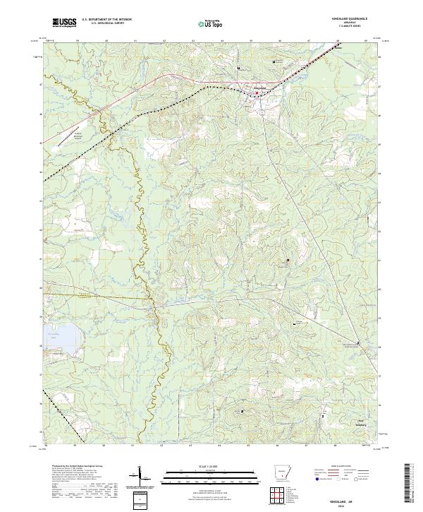 2024 Kingsland2024 Print · USGSSouthern Arkansas timberlands and creek bottoms define this rural landscape near the Cleveland and Dallas county lines. Genealogists can trace family roots at Mitchell and Morgan Cem or visit the Mark's Mill Civil War Battle Site Graves.
End of results
Showing maps 1-18 of 18
Top cities near Kingsland
Top neighborhoods of Kingsland
Frequently asked questions
- What are the different types of historical maps available for Kingsland?
- What is the oldest map of Kingsland?
- Where can I purchase historical maps of Kingsland for my home or office?
- Where can I download high-res historical maps of Kingsland?
- Are there historical topographic maps available for Kingsland?
- Is there historical aerial imagery available for Kingsland?
- Where are historical maps of Kingsland sourced from?