Old Maps of Morrilton, Arkansas for Hiking & Exploration
Hike through history with 23 historic maps of Morrilton. Explore old trails, ghost towns, and forgotten backroads — perfect for outdoor adventurers and local explorers.
- Rediscover forgotten places: Map out old mining camps, roads, and footpaths that no longer exist on modern maps.
- Layer with modern tools: Combine with LiDAR or satellite views to plan hikes through historical terrain.
- Made for exploration: Popular among hikers, overlanders, and local history lovers.
Use these maps to find adventure and explore the hidden past of Morrilton.
Morrilton, AR maps
(23)- 1889 Map of Morrilton No. 3
 1889 Morrilton No. 31889 Print · USGSNear the end of the nineteenth century, the Arkansas River valley was defined by the massive plateau of Petit Jean Mountain. Genealogists can trace early homesteads in Atkins or near rural centers like Ada, Divide, and the river lands of Gardens Bottoms.
 - 1892 Map of Morrillton
 1892 Morrillton1892 Print · USGSThe Arkansas River valley at the end of the nineteenth century was a landscape of vital ferry crossings and early rail expansion. Genealogists and historians can trace the foundations of Morrillton and Perryville or locate river landmarks like Galla Rock Fy. and Stouts Ldg.
 - 1894 Map of Morrillton
 1894 Morrillton1894 Print · USGSThe Arkansas River valley and the Ouachita foothills meet in the 1890s, where river traffic and the rail line define the local economy. Genealogists can trace early homesteads and crossings near Morrillton, Burnetts Ford, and the rugged heights of Cedar Falls Mt.5 unique versions available
 - 1956 Map of Russellville
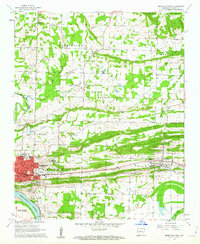
 1956 Russellville1956 Print · USGSThe Arkansas River valley and the surrounding Boston Mountains are captured here in the mid-fifties, showing a landscape of small timber towns and new reservoirs. Genealogists can trace family roots through upland settlements like Pelsor and Witts Springs or locate the campus of Arkansas Polytechnic College.2 unique versions available
 - 1961 Map of Morrilton East, 1962 Print
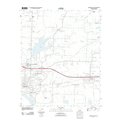
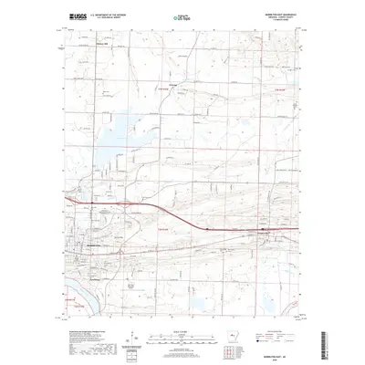
 1961 Morrilton East1962 Print · USGSConway County in the early 1960s shows a landscape transitioning between its deep river-and-rail roots and modern mid-century growth. Genealogists can trace family names through rural landmarks like Gordons Chapel, Scroggin Cem, and the Hickory Hill settlement.3 unique versions available
 - 1961 Map of Morrilton West, 1962 Print
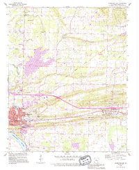
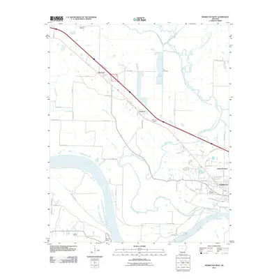
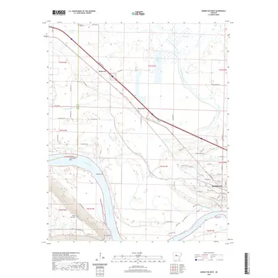
 1961 Morrilton West1962 Print · USGSThe Arkansas River valley at the foot of the Ozarks is captured here in the early sixties, showing the vital river-and-rail corridor near Morrilton. Local historians can trace family ties at Happy Bend Cem and Elmwood Cem or locate industrial sites like the Shale Pit.3 unique versions available
 - 1964 Map of Russellville
 1964 Russellville1964 Print · USGSMid-century Central Arkansas is defined here by the river-valley towns and the surrounding mountain ranges before the full expansion of the interstate system. Genealogists and historians can trace rail-town development along the Missouri Pacific Railroad and locate landmarks like Arkansas Polytechnic College or Petit Jean State Park.
 - 1977 Map of Russellville
 1977 Russellville1977 Print · USGSThe Arkansas River Valley and surrounding Ozark Mountains are documented here during a period of significant postwar growth and infrastructure development. Genealogists and researchers can locate family landmarks such as Mount Carmel Cem, St Josephs Church, and several remote Coal Mine sites along the Missouri Pacific RR line.
 - 1983 Map of Conway, 1984 Print
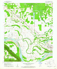
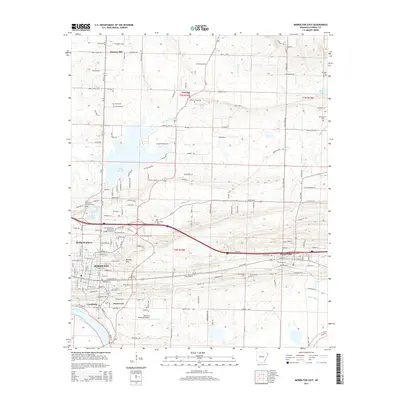
 1983 Conway1984 Print · USGSThe Arkansas River valley in the early eighties shows a landscape of river-bend settlements and expanding wildlife areas. Genealogists and historians can trace the Missouri Pacific RR through old river towns like Toad Suck, Morrilton, and Menifee.
 - 1984 Map of Russellville
 1984 Russellville1984 Print · USGSThe Arkansas River valley was undergoing significant change in the 1950s as transportation and water management reshaped the region from Russellville to Conway. Researchers can trace the era's rail networks like the Missouri Pacific RR and explore landmarks like Magazine Mountain and Petit Jean State Park.
 - 1990 Map of Morrilton East, 1995 Print
 1990 Morrilton East1995 Print · USGSConway County communities come into focus in the 1990s as the suburbs of Morrilton expand toward the banks of the Arkansas River. Researchers can locate family burial plots and historic congregations at Sacred Heart Cem, Lewisburg Cem, and Shady Grove Ch.
 - 1991 Map of Morrilton West, 1995 Print
 1991 Morrilton West1995 Print · USGSMorrilton and the Conway County riverfront are shown in the early nineties as the community expanded north of the river's bend. Family historians can trace local roots at Happy Bend Cem, Hill Cem, and the historic Petit Jean State Park grounds.
 - 1992 Map of Russellville, 1993 Print
 1992 Russellville1993 Print · USGSCentral Arkansas in the early nineties shows a landscape defined by the Arkansas River valley and the surrounding national forests. Trace the development of river towns like Russellville and Dardanelle alongside landmarks such as Lake Dardanelle and Magazine Mtn.
 - 2011 Map of Morrilton East, 2011 Print
 2011 Morrilton East2011 Print · USGSCovers Morrilton, including Plumerville, Hickory Hill, and other nearby areas
 - 2011 Map of Morrilton West, 2011 Print
 2011 Morrilton West2011 Print · USGSCovers Morrilton, including Blackwell, Kenwood, and other nearby areas
 - 2014 Map of Morrilton West, 2014 Print
 2014 Morrilton West2014 Print · USGSCovers Morrilton, including Blackwell, Kenwood, and other nearby areas
 - 2014 Map of Morrilton East, 2014 Print
 2014 Morrilton East2014 Print · USGSCovers Morrilton, including Plumerville, Hickory Hill, and other nearby areas
 - 2017 Map of Morrilton East, 2017 Print
 2017 Morrilton East2017 Print · USGSCovers Morrilton, including Plumerville, Hickory Hill, and other nearby areas
 - 2017 Map of Morrilton West, 2017 Print
 2017 Morrilton West2017 Print · USGSCovers Morrilton, including Blackwell, Kenwood, and other nearby areas
 - 2020 Map of Morrilton West, 2020 Print
 2020 Morrilton West2020 Print · USGSCovers Morrilton, including Blackwell, Kenwood, and other nearby areas
 - 2020 Map of Morrilton East, 2020 Print
 2020 Morrilton East2020 Print · USGSCovers Morrilton, including Plumerville, Hickory Hill, and other nearby areas
 - 2024 Map of Morrilton West, 2024 Print
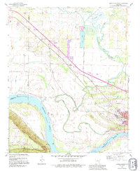
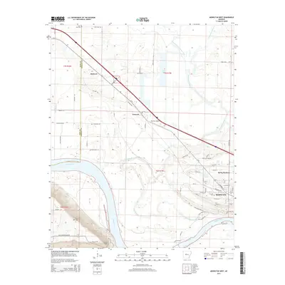
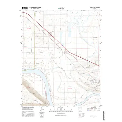
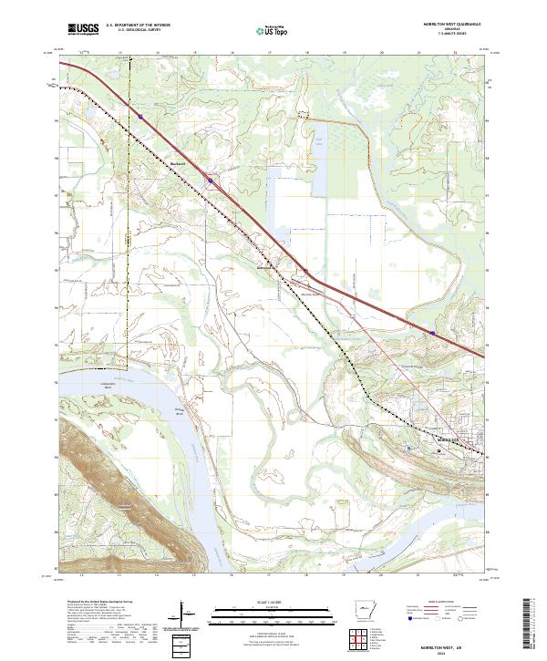 2024 Morrilton West2024 Print · USGSThe river valley west of Morrilton comes into focus here, where the winding Arkansas River meets the steep bluffs of the north. Genealogists and local historians can trace property locations near Blackwell, Elmwood Cem, and the historic overlooks at Stouts Point.
 - 2024 Map of Morrilton East, 2024 Print
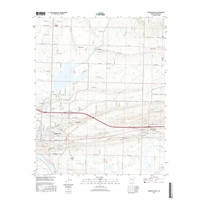
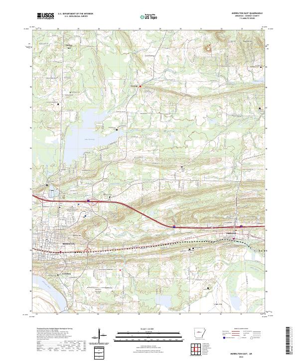 2024 Morrilton East2024 Print · USGSConway County near the Arkansas River comes into focus in this contemporary survey of its historic river towns and upland hills. Genealogists can trace family ties at Lewisburg Cemetery or Old Salem Cemetery, and locate civic landmarks like the Conway County Courthouse.
End of results
Showing maps 1-23 of 23
Top cities near Morrilton
- Conway historical maps
- Atkins historical maps
- Perryville historical maps
- Plumerville historical maps
- Oppelo historical maps
- Bigelow historical maps
See more
Top neighborhoods of Morrilton
- Deerwood historical maps
- North Hills Subdivision historical maps
- Northview Subdivision historical maps
- Lewisburg historical maps
- Spring Meadows historical maps
- Country Estates historical maps
Frequently asked questions
- What are the different types of historical maps available for Morrilton?
- What is the oldest map of Morrilton?
- Where can I purchase historical maps of Morrilton for my home or office?
- Where can I download high-res historical maps of Morrilton?
- Are there historical topographic maps available for Morrilton?
- Is there historical aerial imagery available for Morrilton?
- Where are historical maps of Morrilton sourced from?