Old Maps of Kate, Arkansas for Hiking & Exploration
Hike through history with 12 historic maps of Kate. Explore old trails, ghost towns, and forgotten backroads — perfect for outdoor adventurers and local explorers.
- Rediscover forgotten places: Map out old mining camps, roads, and footpaths that no longer exist on modern maps.
- Layer with modern tools: Combine with LiDAR or satellite views to plan hikes through historical terrain.
- Made for exploration: Popular among hikers, overlanders, and local history lovers.
Use these maps to find adventure and explore the hidden past of Kate.
Kate, AR maps
(12)- 1939 Map of Edmondson, 1942 Print
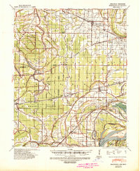 1939 Edmondson1942 Print · USGSCrittenden and St. Francis Counties are shown in the late thirties as a landscape of rail-connected farming towns and bayous. Genealogists can locate family landmarks like Garrett Cem, Macedonia Ch, and the combined Bellmeade Sch & Ch.
 - 1953 Map of Memphis, 1966 Print
 1953 Memphis1966 Print · USGSEastern Arkansas and the Memphis riverfront are shown here during the mid-century period of regional growth and river management. Local historians can trace the paths of the Chicago Rock Island & Pacific RR through Forrest City or locate river landmarks like President's Island.3 unique versions available
 - 1954 Map of Edmondson, 1955 Print
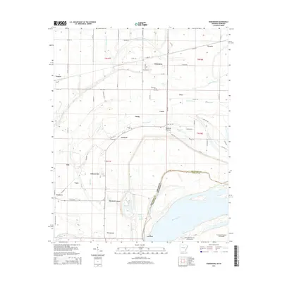
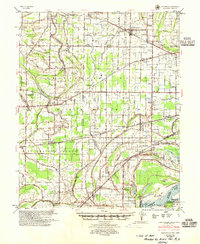 1954 Edmondson1955 Print · USGSCrittenden and St. Francis counties in the mid-fifties show a landscape of intricate Delta bayous and growing rural settlements. Genealogists can trace family roots through numerous local landmarks like Truevine Ch & Cem, Greasy Corner, and Crawfordsville.2 unique versions available
 - 1956 Map of Memphis
 1956 Memphis1956 Print · USGSThe Mississippi Delta and the bluffs of West Tennessee meet in the mid-fifties, showing a landscape defined by massive river systems and rail hubs. Researchers can trace the path of Crowleys Ridge or locate vanished river landings near Centennial Island and Island No 35.
 - 1975 Map of Edmondson SE, 1976 Print
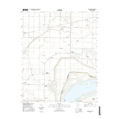
 1975 Edmondson SE1976 Print · USGSCrittenden County land use is frozen in time in the mid-1970s, showing the intersection of the Mississippi River and the Arkansas Delta. Researchers can trace rural settlement patterns at Edmondson, Neuhardt, and Proctor within a landscape of fertile fields and winding bayous.
 - 1981 Map of Edmondson, 1982 Print
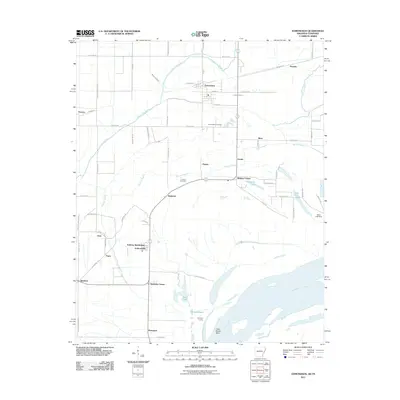
 1981 Edmondson1982 Print · USGSCrittenden County, Arkansas, is captured here in the early eighties as a landscape of bayous and small farming communities west of the river. Genealogists and local historians can trace the sites of Edmondson Cem, Claybrook Ch, and the Old Railroad Grade.
 - 1986 Map of Memphis West
 1986 Memphis West1986 Print · USGSThe Mississippi River delta and the rise of Crowleys Ridge define this mid-1980s look at the Mid-South. Researchers can trace the development of West Memphis and Marion or locate landmarks like Crittenden Mem Cem and Village Creek State Park.2 unique versions available
 - 2011 Map of Edmondson, 2011 Print
 2011 Edmondson2011 Print · USGSCovers Kate, including Memphis, Edmondson, and other nearby areas
 - 2014 Map of Edmondson, 2014 Print
 2014 Edmondson2014 Print · USGSCovers Kate, including Memphis, Edmondson, and other nearby areas
 - 2017 Map of Edmondson, 2017 Print
 2017 Edmondson2017 Print · USGSCovers Kate, including Memphis, Edmondson, and other nearby areas
 - 2020 Map of Edmondson, 2020 Print
 2020 Edmondson2020 Print · USGSCovers Kate, including Memphis, Edmondson, and other nearby areas
 - 2024 Map of Edmondson, 2024 Print
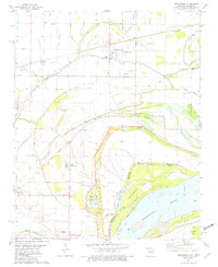
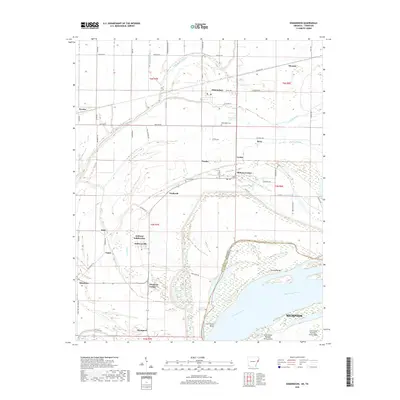
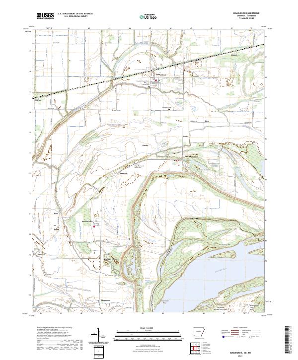 2024 Edmondson2024 Print · USGSThe Arkansas Delta near the Tennessee border is revealed in this modern survey of rural settlements and shifting riverbanks. Researchers can trace family sites at Campbell Chapel African Methodist Episcopal Cem or explore the reach of Fifteenmile Bayou.
End of results
Showing maps 1-12 of 12
Top cities near Kate
- Memphis historical maps
- West Memphis historical maps
- Marion historical maps
- Earle historical maps
- Hughes historical maps
- Parkin historical maps
See more
Frequently asked questions
- What are the different types of historical maps available for Kate?
- What is the oldest map of Kate?
- Where can I purchase historical maps of Kate for my home or office?
- Where can I download high-res historical maps of Kate?
- Are there historical topographic maps available for Kate?
- Is there historical aerial imagery available for Kate?
- Where are historical maps of Kate sourced from?