2000s (21st Century) Maps of McGehee, Arkansas
Explore 20 historic maps of McGehee from the 2000s (21st Century). These maps offer a rare glimpse into what life looked like during the 2000s — showing old roads, neighborhoods, homes, and landmarks that have changed or disappeared over time.
Whether you're researching your family's past, planning a metal detecting trip, or studying how McGehee's landscape evolved across the 2000s, these high-resolution maps are a powerful tool for exploring the history of this region.
- Focus on a specific era: All maps on this page are from the 2000s, giving you a focused view of this time period.
- See what’s changed: Compare century-old streets, trails, and buildings to today's modern landscape using overlays and satellite layers.
- Research with precision: Use these maps for genealogy, historical research, land use analysis, or educational projects.
- View, download, or print: Maps are fully viewable online in high resolution, and can be downloaded or printed for your own records.
Start exploring McGehee's history through authentic maps from the 2000s. This is your window into the past.
McGehee, AR maps
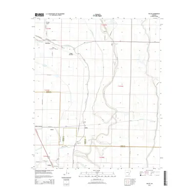
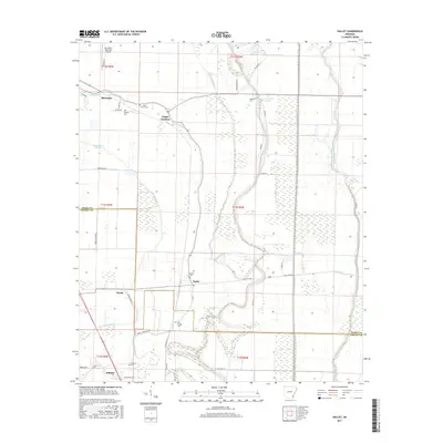
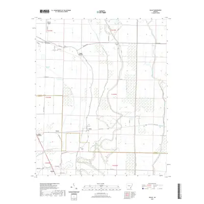
(20)- 2011 Map of Halley, 2011 Print
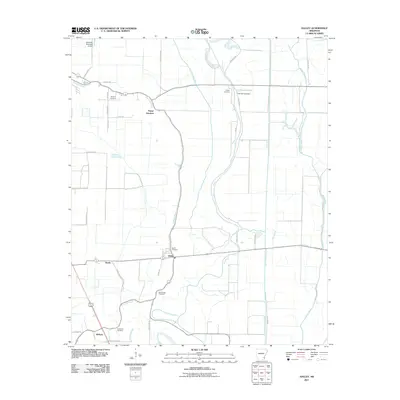 2011 Halley2011 Print · USGSCovers McGehee, including Bellaire, Hurds, and other nearby areas
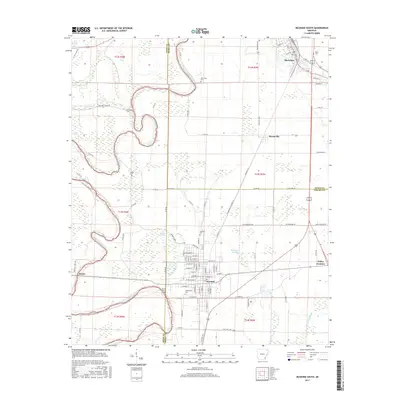
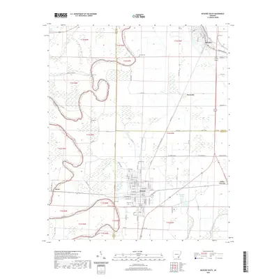
 - 2011 Map of McGehee South, 2011 Print
 2011 McGehee South2011 Print · USGSCovers McGehee, including Dermott, Masonville, and other nearby areas
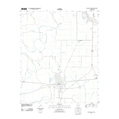
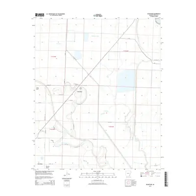
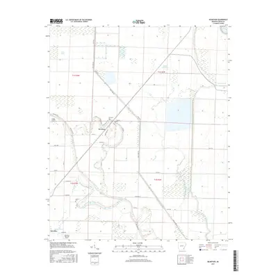
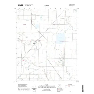
 - 2011 Map of McArthur, 2011 Print
 2011 McArthur2011 Print · USGSCovers McGehee, including McArthur, Desha County, and other nearby areas
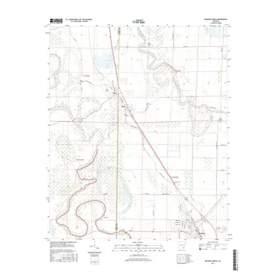
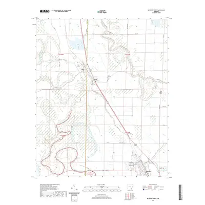
 - 2011 Map of McGehee North, 2011 Print
 2011 McGehee North2011 Print · USGSCovers McGehee, including Tillar, Reed, and other nearby areas
 - 2014 Map of Halley, 2014 Print
 2014 Halley2014 Print · USGSCovers McGehee, including Bellaire, Hurds, and other nearby areas
 - 2014 Map of McGehee North, 2014 Print
 2014 McGehee North2014 Print · USGSCovers McGehee, including Tillar, Reed, and other nearby areas
 - 2014 Map of McGehee South, 2014 Print
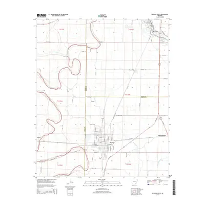 2014 McGehee South2014 Print · USGSCovers McGehee, including Dermott, Masonville, and other nearby areas
 - 2014 Map of McArthur, 2014 Print
 2014 McArthur2014 Print · USGSCovers McGehee, including McArthur, Desha County, and other nearby areas
 - 2017 Map of McArthur, 2017 Print
 2017 McArthur2017 Print · USGSCovers McGehee, including McArthur, Desha County, and other nearby areas
 - 2017 Map of Halley, 2017 Print
 2017 Halley2017 Print · USGSCovers McGehee, including Bellaire, Hurds, and other nearby areas
 - 2017 Map of McGehee South, 2017 Print
 2017 McGehee South2017 Print · USGSCovers McGehee, including Dermott, Masonville, and other nearby areas
 - 2017 Map of McGehee North, 2017 Print
 2017 McGehee North2017 Print · USGSCovers McGehee, including Tillar, Reed, and other nearby areas
 - 2020 Map of McGehee North, 2020 Print
 2020 McGehee North2020 Print · USGSCovers McGehee, including Tillar, Reed, and other nearby areas
 - 2020 Map of McGehee South, 2020 Print
 2020 McGehee South2020 Print · USGSCovers McGehee, including Dermott, Masonville, and other nearby areas
 - 2020 Map of McArthur, 2020 Print
 2020 McArthur2020 Print · USGSCovers McGehee, including McArthur, Desha County, and other nearby areas
 - 2020 Map of Halley, 2020 Print
 2020 Halley2020 Print · USGSCovers McGehee, including Bellaire, Hurds, and other nearby areas
 - 2024 Map of McGehee North, 2024 Print
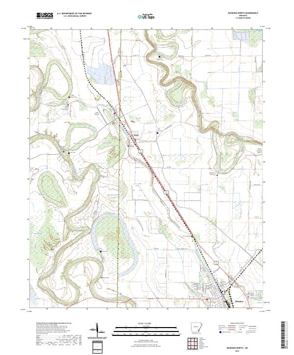 2024 McGehee North2024 Print · USGSDesha County's delta landscape is captured here in the mid-2020s, showing the agricultural heartland between Tillar and McGehee. Researchers can locate numerous local burial sites including Loggy Bayou Cem, Bogue Pilgrim Cem, and Little Mount Olive Cem.
 - 2024 Map of McArthur, 2024 Print
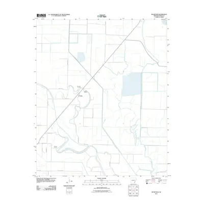
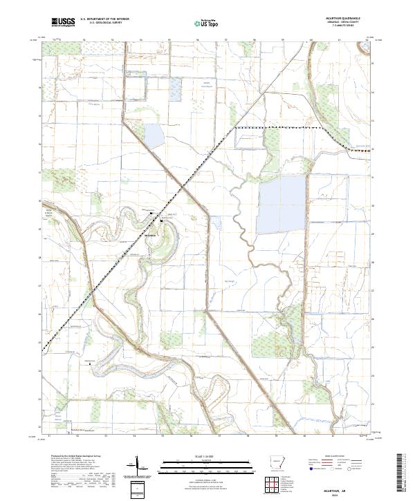 2024 McArthur2024 Print · USGSDesha County is shown in the mid-2020s, where the rural settlement of McArthur is surrounded by the bayous and canals of the Delta. Genealogists and historians can locate family landmarks such as Warrington Cem, McArthur Cem, and the Palestine Cem.
 - 2024 Map of Halley, 2024 Print
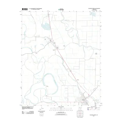
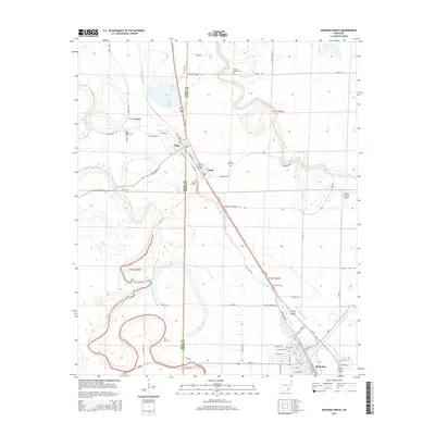
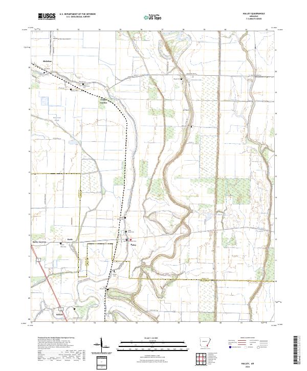 2024 Halley2024 Print · USGSSoutheast Arkansas delta life is captured here in the early twenty-first century, spanning the border of Desha and Chicot counties. Researchers can trace family history through numerous rural burial sites like Old Grange Cem, Beasley Cem, and the Halley Family Cem.
 - 2024 Map of McGehee South, 2024 Print
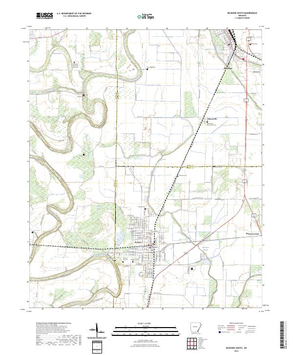 2024 McGehee South2024 Print · USGSThe Arkansas Delta comes into focus in this recent survey of the lands where Drew, Desha, and Chicot counties meet. Researchers can trace family sites through numerous rural burial grounds like Duncan Cem and Plummer Cem, or follow the winding path of Bayou Bartholomew past Dermott and Masonville.
End of results
Showing maps 1-20 of 20
Top cities near McGehee
- Dumas historical maps
- Dermott historical maps
- Arkansas City historical maps
- Tillar historical maps
- Winchester historical maps
- Reed historical maps
Frequently asked questions
- What are the different types of historical maps available for McGehee?
- What is the oldest map of McGehee?
- Where can I purchase historical maps of McGehee for my home or office?
- Where can I download high-res historical maps of McGehee?
- Are there historical topographic maps available for McGehee?
- Is there historical aerial imagery available for McGehee?
- Where are historical maps of McGehee sourced from?