Old Maps of McGehee, Arkansas for Genealogy
Trace your family roots with 34 historic maps of McGehee. These high-res maps reveal old neighborhoods, homesites, landmarks, and streets — helping you uncover where your ancestors lived and how the area evolved over time.
- Explore historic neighborhoods: Identify where your relatives may have lived in the 1800s or 1900s.
- Compare maps over time: Trace the changes in streets, buildings, and landmarks for multi-generational research.
- Perfect for genealogy & ancestry research: Used by family historians and researchers to map out lineage and migration.
These maps are an incredible resource for exploring your personal connection to McGehee's past.
McGehee, AR maps
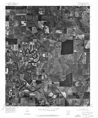
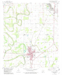
(34)- 1936 Map of McGehee, 1937 Print
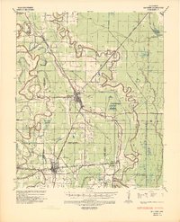 1936 McGehee1937 Print · USGSThe Arkansas Delta during the mid-thirties comes into focus through its dense network of bayous, rail junctions, and river towns. Genealogists and historians can trace the foundations of Mcgehee and Dermott, while locating rural landmarks like Loggy Bayou Church and the ancient INDIAN MOUNDS.
 - 1937 Map of McGehee, 1952 Print
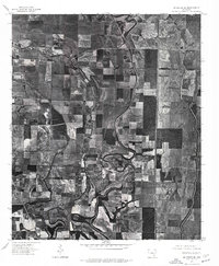
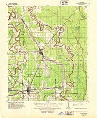 1937 McGehee1952 Print · USGSThe Arkansas Delta comes alive in the late 1930s as a complex network of bayous and rail lines. Genealogists and historians can trace the foundations of McGehee and Dermott, or locate rural landmarks like Providence Church and the Indian Mounds.
 - 1953 Map of Greenwood, 1966 Print
 1953 Greenwood1966 Print · USGSThe Mississippi Delta in the mid-fifties is captured here as a thriving network of river towns, railroads, and oxbow lakes. Researchers can trace the legacy of the Illinois Central Railroad and locate landmarks like the State Penal Farm and Greenville Air Force Base.5 unique versions available
 - 1955 Map of McGehee
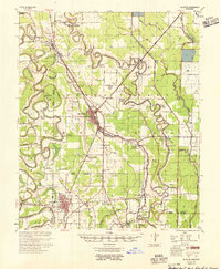 1955 McGehee1955 Print · USGSSoutheast Arkansas in the mid-fifties shows a landscape defined by the Missouri Pacific rail line and a massive network of irrigation canals. Genealogists can trace family footprints at Loggy Bayou Sch Ch & Cem, Masonville, and the Wolff Project Sch.
 - 1956 Map of Greenwood
 1956 Greenwood1956 Print · USGSThe Mississippi Delta in the mid-fifties is captured here during a period of significant military and agricultural activity. Researchers can trace the rail lines of the Illinois Central RR, find the Greenville Air Force Base, or locate the State Penal Farm.
 - 1975 Map of Mc Gehee SW, 1976 Print
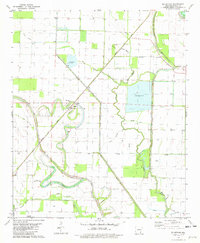
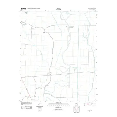
 1975 Mc Gehee SW1976 Print · USGSSoutheast Arkansas farmland and the winding river bends near Dermott are captured in this mid-seventies aerial survey. Genealogists and local historians can trace the street layouts of Mc Gehee and find the rural locations of Masonville and Baxter.
 - 1975 Map of Mc Gehee NW, 1976 Print
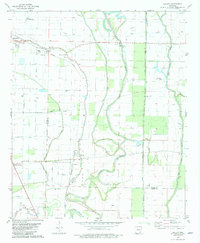
 1975 Mc Gehee NW1976 Print · USGSDesha County agriculture and river dynamics are captured here in the mid-seventies, showing the intersection of rural life and the Delta landscape. Genealogists and historians can trace the early layouts of Tillar and Mc Gehee along the winding Bayou Bartholomew.
 - 1975 Map of Mc Gehee NE, 1976 Print
 1975 Mc Gehee NE1976 Print · USGSDesha County farmland is captured in sharp detail in the mid-seventies, showing the intersection of agriculture and the Mississippi Delta's natural drainage. Genealogists and researchers can trace the vicinity of Mc Arthur and the oxbows of Bayou Macon.
 - 1975 Map of Mc Gehee SE, 1976 Print
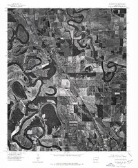
 1975 Mc Gehee SE1976 Print · USGSSoutheast Desha County is shown in the mid-1970s through this aerial orthophoto, revealing the deep-delta agricultural patterns of the Arkansas landscape. Genealogists and local historians can trace the rural layout around Mc Gehee, Halley, and the junctions of the regional transport network.
 - 1981 Map of Mc Arthur, 1982 Print
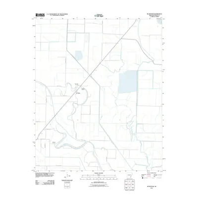
 1981 Mc Arthur1982 Print · USGSDesha County, Arkansas, appears in the early eighties as a landscape defined by the winding Bayou Macon and a network of Delta drainage sloughs. Genealogists and local historians can trace small rural communities through landmarks like Warrington Cemetery, Sims Chapel, and McArthur.
 - 1981 Map of Halley, 1982 Print
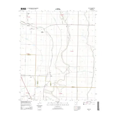
 1981 Halley1982 Print · USGSSoutheast Arkansas in the early eighties was defined by the intersection of the Missouri Pacific railroad and the winding Bayou Macon. Researchers can trace the layout of small communities like Halley and Bellaire or find local burial sites including Holly Grove Cem and Anderson Cem.
 - 1981 Map of Mc Gehee North, 1982 Print
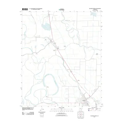
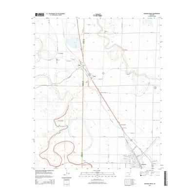
 1981 Mc Gehee North1982 Print · USGSDesha and Drew counties are captured here in the early 1980s as agricultural and rail networks shaped life in the Arkansas Delta. Genealogists can locate several family and community landmarks, including Seven Star Cem, Loggy Bayou Ch, and the streets of McGehee.
 - 1981 Map of Mc Gehee South, 1982 Print
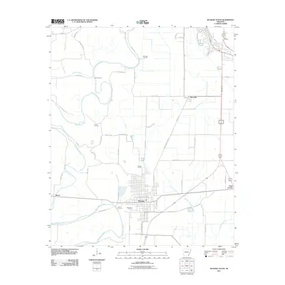
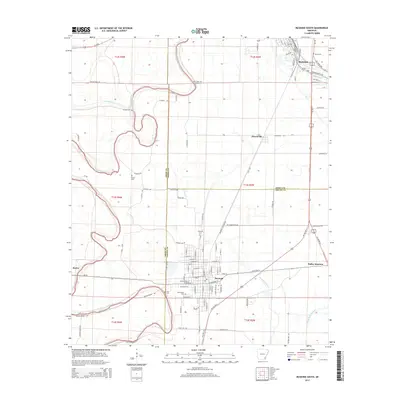
 1981 Mc Gehee South1982 Print · USGSSoutheast Arkansas in the early eighties shows a landscape of river-bend farms and rail-line towns along the MISSOURI PACIFIC. Genealogists can trace family names at Duncan Cem, Youngs Cem, and the historic Morris-Booker Memorial College in Dermott.
 - 1986 Map of Dumas
 1986 Dumas1986 Print · USGSSoutheast Arkansas in the mid-eighties shows a landscape defined by the winding Mississippi River and the Missouri Pacific Railroad corridor. Genealogists can trace family roots through river towns like Arkansas City and the rail-junction history of McGehee.2 unique versions available
 - 2011 Map of Halley, 2011 Print
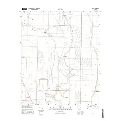
 2011 Halley2011 Print · USGSCovers McGehee, including Bellaire, Hurds, and other nearby areas
 - 2011 Map of McGehee South, 2011 Print
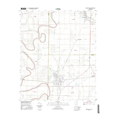
 2011 McGehee South2011 Print · USGSCovers McGehee, including Dermott, Masonville, and other nearby areas
 - 2011 Map of McArthur, 2011 Print
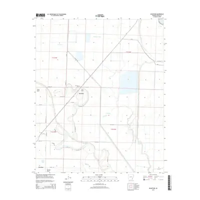
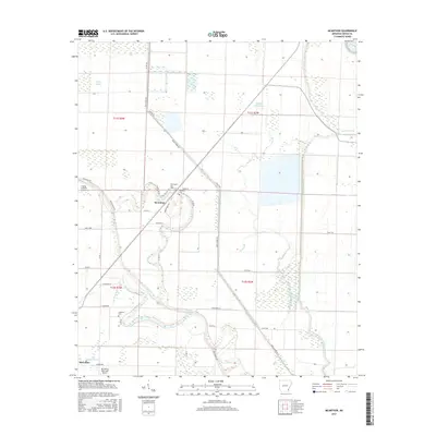
 2011 McArthur2011 Print · USGSCovers McGehee, including McArthur, Desha County, and other nearby areas
 - 2011 Map of McGehee North, 2011 Print
 2011 McGehee North2011 Print · USGSCovers McGehee, including Tillar, Reed, and other nearby areas
 - 2014 Map of Halley, 2014 Print
 2014 Halley2014 Print · USGSCovers McGehee, including Bellaire, Hurds, and other nearby areas
 - 2014 Map of McGehee North, 2014 Print
 2014 McGehee North2014 Print · USGSCovers McGehee, including Tillar, Reed, and other nearby areas
 - 2014 Map of McGehee South, 2014 Print
 2014 McGehee South2014 Print · USGSCovers McGehee, including Dermott, Masonville, and other nearby areas
 - 2014 Map of McArthur, 2014 Print
 2014 McArthur2014 Print · USGSCovers McGehee, including McArthur, Desha County, and other nearby areas
 - 2017 Map of McArthur, 2017 Print
 2017 McArthur2017 Print · USGSCovers McGehee, including McArthur, Desha County, and other nearby areas
 - 2017 Map of Halley, 2017 Print
 2017 Halley2017 Print · USGSCovers McGehee, including Bellaire, Hurds, and other nearby areas
 - 2017 Map of McGehee South, 2017 Print
 2017 McGehee South2017 Print · USGSCovers McGehee, including Dermott, Masonville, and other nearby areas
Showing maps 1-25 of 34
Top cities near McGehee
- Dumas historical maps
- Dermott historical maps
- Arkansas City historical maps
- Tillar historical maps
- Winchester historical maps
- Reed historical maps
Frequently asked questions
- What are the different types of historical maps available for McGehee?
- What is the oldest map of McGehee?
- Where can I purchase historical maps of McGehee for my home or office?
- Where can I download high-res historical maps of McGehee?
- Are there historical topographic maps available for McGehee?
- Is there historical aerial imagery available for McGehee?
- Where are historical maps of McGehee sourced from?