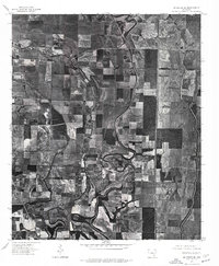
1975 Map of Mc Gehee SE
USGS Topo · Published 1976About this map
The delta lowlands of Desha County are captured in this mid-1970s orthophotoquad, showing the intricate relationship between agricultural land use and the winding path of Bayou Macon. This specialized imagery, produced by the U.S. Geological Survey and the Arkansas Geological Commission, provides a direct aerial perspective of the landscape as it functioned during this period. The town of Mc Gehee anchors the northwest corner of the sheet, while the smaller community of Halley sits further south along the rail and road corridors.
Find a feature on this map
5 named features on this map. Tap any name to fly to it.
Don’t see what you’re looking for? This feature index may not catch every label — zoom into the map to look around manually.
Map Details
Editions of this 1975 Mc Gehee SE Map
This is the sole edition of this map. No revisions or reprints were ever made.
Other maps of this area

1933 · Lamont
USGS Topo · 1:62,500

1936 · McGehee
USGS Topo · 1:62,500

1936 · Lake Village
USGS Topo · 1:62,500

1937 · McGehee
USGS Topo · 1:62,500

1939 · Refuge
USGS Topo · 1:62,500

1939 · Lamont
USGS Topo · 1:62,500

1953 · Greenwood
USGS Topo · 1:250,000

1955 · Lake Village
USGS Topo · 1:62,500

1955 · McGehee
USGS Topo · 1:62,500

1956 · Greenwood
USGS Topo · 1:250,000