Old Maps of Carpenter, Arkansas for Academic Research
Study the evolution of Carpenter with 9 high-resolution historic maps. Whether you're teaching, researching, or modeling changes in land use, these maps provide essential visual documentation of urban, environmental, and geographic change.
- Analyze long-term change: Track patterns in development, transportation, and natural features.
- Ideal for environmental or urban studies: Support academic projects with primary historical map data.
- Use in the classroom or lab: Educators and researchers rely on these maps to bring historical context to life.
These maps are a powerful tool for teaching, research, and visualizing how Carpenter has changed over the decades.
Carpenter, AR maps
(9)- 1953 Map of Greenwood, 1966 Print
 1953 Greenwood1966 Print · USGSThe Mississippi Delta in the mid-fifties is captured here as a thriving network of river towns, railroads, and oxbow lakes. Researchers can trace the legacy of the Illinois Central Railroad and locate landmarks like the State Penal Farm and Greenville Air Force Base.5 unique versions available
 - 1956 Map of Greenwood
 1956 Greenwood1956 Print · USGSThe Mississippi Delta in the mid-fifties is captured here during a period of significant military and agricultural activity. Researchers can trace the rail lines of the Illinois Central RR, find the Greenville Air Force Base, or locate the State Penal Farm.
 - 1971 Map of Ladelle, 1973 Print
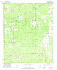 1971 Ladelle1973 Print · USGSSoutheast Arkansas in the early seventies reveals a landscape of small communities and resource extraction across the Drew and Ashley county line. Researchers can locate several family cemeteries like Lone Sassafras Cem and follow the Old Railroad Grade past Lacey and Ladelle.
 - 1986 Map of Crossett
 1986 Crossett1986 Print · USGSSoutheast Arkansas and the Mississippi Delta meet in the mid-1980s, revealing a landscape of rail-linked towns and river bottomlands. Researchers can trace the Missouri Pacific line through Hamburg and Parkdale or locate Millers Chapel and Winterville Mounds State Park.2 unique versions available
 - 2011 Map of Ladelle, 2011 Print
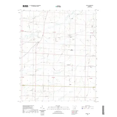
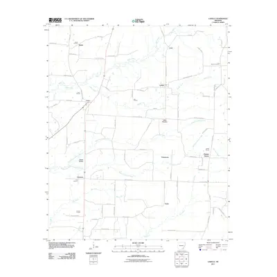 2011 Ladelle2011 Print · USGSCovers Carpenter, including Goose Hollow, Lacey, and other nearby areas
 - 2014 Map of Ladelle, 2014 Print
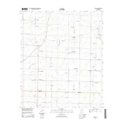 2014 Ladelle2014 Print · USGSCovers Carpenter, including Goose Hollow, Lacey, and other nearby areas
 - 2017 Map of Ladelle, 2017 Print
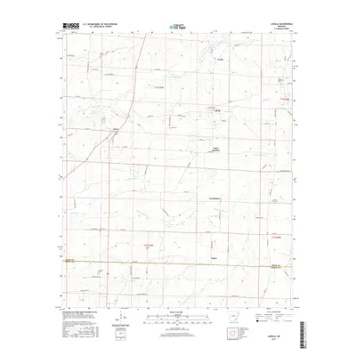 2017 Ladelle2017 Print · USGSCovers Carpenter, including Goose Hollow, Lacey, and other nearby areas
 - 2020 Map of Ladelle, 2020 Print
 2020 Ladelle2020 Print · USGSCovers Carpenter, including Goose Hollow, Lacey, and other nearby areas
 - 2024 Map of Ladelle, 2024 Print
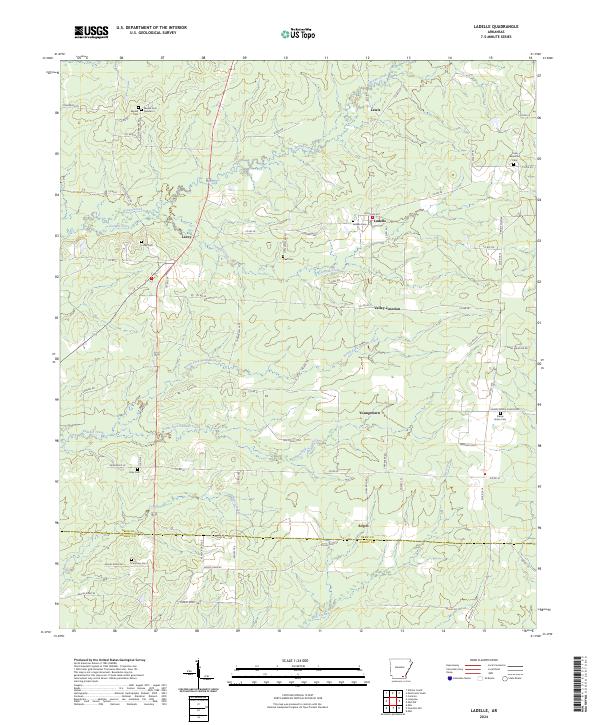 2024 Ladelle2024 Print · USGSSoutheast Arkansas timberlands and small rural hamlets come into focus in this contemporary survey of the Drew and Ashley County line. Genealogists and local historians can locate several family burial grounds, including Beulah Cem, Lacey Cem, and Prairie Grove Cem.
End of results
Showing maps 1-9 of 9
Top cities near Carpenter
- Monticello historical maps
- Warren historical maps
- Hamburg historical maps
- Wilmar historical maps
- Fountain Hill historical maps
Frequently asked questions
- What are the different types of historical maps available for Carpenter?
- What is the oldest map of Carpenter?
- Where can I purchase historical maps of Carpenter for my home or office?
- Where can I download high-res historical maps of Carpenter?
- Are there historical topographic maps available for Carpenter?
- Is there historical aerial imagery available for Carpenter?
- Where are historical maps of Carpenter sourced from?