Old Maps of Jerome, Arkansas for Hiking & Exploration
Hike through history with 12 historic maps of Jerome. Explore old trails, ghost towns, and forgotten backroads — perfect for outdoor adventurers and local explorers.
- Rediscover forgotten places: Map out old mining camps, roads, and footpaths that no longer exist on modern maps.
- Layer with modern tools: Combine with LiDAR or satellite views to plan hikes through historical terrain.
- Made for exploration: Popular among hikers, overlanders, and local history lovers.
Use these maps to find adventure and explore the hidden past of Jerome.
Jerome, AR maps
(12)- 1936 Map of Lake Village, 1949 Print
 1936 Lake Village1949 Print · USGSThe Arkansas Delta in the mid-1930s is defined by its winding waterways and the rise of the Missouri Pacific railroad. Genealogists and historians can trace old settlements like Jerome, Montrose, and Hudspeth along the shores of Chicot Lake.2 unique versions available
 - 1953 Map of Greenwood, 1966 Print
 1953 Greenwood1966 Print · USGSThe Mississippi Delta in the mid-fifties is captured here as a thriving network of river towns, railroads, and oxbow lakes. Researchers can trace the legacy of the Illinois Central Railroad and locate landmarks like the State Penal Farm and Greenville Air Force Base.5 unique versions available
 - 1955 Map of Lake Village
 1955 Lake Village1955 Print · USGSSoutheast Arkansas in the mid-fifties reveals a Delta landscape shaped by the oxbow of Lake Chicot and the Missouri Pacific Railroad. Genealogists can trace family footprints through numerous rural sites like Holly Grove Ch & Cem and Strangers Rest Ch & Cem.2 unique versions available
 - 1956 Map of Greenwood
 1956 Greenwood1956 Print · USGSThe Mississippi Delta in the mid-fifties is captured here during a period of significant military and agricultural activity. Researchers can trace the rail lines of the Illinois Central RR, find the Greenville Air Force Base, or locate the State Penal Farm.
 - 1975 Map of Lake Village NW, 1976 Print
 1975 Lake Village NW1976 Print · USGSIn the Arkansas Delta during the mid-seventies, the landscape was a complex mosaic of cultivated fields and winding waterways. Researchers can trace the meandering path of Bartholomew Bayou and the small settlement of Jerome amidst the region's productive agricultural grid.
 - 1981 Map of Jerome, 1982 Print
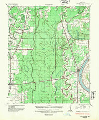
 1981 Jerome1982 Print · USGSSoutheast Arkansas in the late seventies is captured here as a landscape of alluvial bayous and small rail-side settlements. Genealogists and local historians can locate rural landmarks like Silver Mound Cem, Jerome, and the Bellaire Academy.
 - 1986 Map of Crossett
 1986 Crossett1986 Print · USGSSoutheast Arkansas and the Mississippi Delta meet in the mid-1980s, revealing a landscape of rail-linked towns and river bottomlands. Researchers can trace the Missouri Pacific line through Hamburg and Parkdale or locate Millers Chapel and Winterville Mounds State Park.2 unique versions available
 - 2011 Map of Jerome, 2011 Print
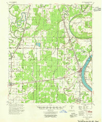
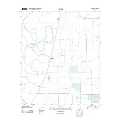 2011 Jerome2011 Print · USGSCovers Jerome, including Deep Elm, Hudspeth, and other nearby areas
 - 2014 Map of Jerome, 2014 Print
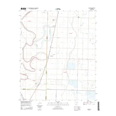 2014 Jerome2014 Print · USGSCovers Jerome, including Deep Elm, Hudspeth, and other nearby areas
 - 2017 Map of Jerome, 2017 Print
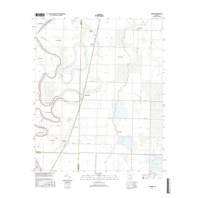 2017 Jerome2017 Print · USGSCovers Jerome, including Deep Elm, Hudspeth, and other nearby areas
 - 2020 Map of Jerome, 2020 Print
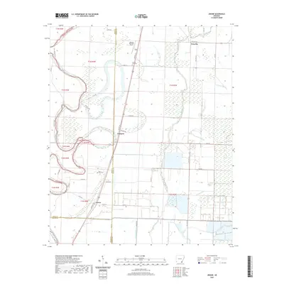 2020 Jerome2020 Print · USGSCovers Jerome, including Deep Elm, Hudspeth, and other nearby areas
 - 2024 Map of Jerome, 2024 Print
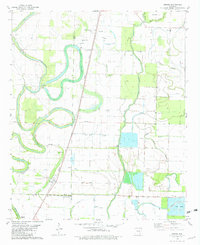
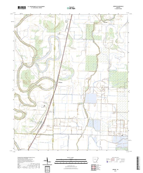 2024 Jerome2024 Print · USGSSoutheast Arkansas at the start of the 2020s remains a landscape defined by its deep bayous and scattered rural communities. Genealogists and local historians can trace the grounds of Silver Mound Cem and Oak Grove Cem or locate the settlements of Jerome and Hudspeth.
End of results
Showing maps 1-12 of 12
Top cities near Jerome
- McGehee historical maps
- Lake Village historical maps
- Dermott historical maps
- Portland historical maps
- Montrose historical maps
Frequently asked questions
- What are the different types of historical maps available for Jerome?
- What is the oldest map of Jerome?
- Where can I purchase historical maps of Jerome for my home or office?
- Where can I download high-res historical maps of Jerome?
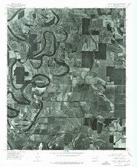
- Are there historical topographic maps available for Jerome?
- Is there historical aerial imagery available for Jerome?
- Where are historical maps of Jerome sourced from?