Old Maps of Wilmar, Arkansas for Metal Detecting
Plan your next treasure hunt with 15 historic maps of Wilmar. Find old homesites, ghost towns, trails, and gathering spots that may be lost to time — perfect for identifying promising metal detecting locations.
- Locate forgotten sites: Uncover places like long-lost settlements, abandoned rail lines, or gathering spots.
- Plan better hunts: Use map overlays combined with LiDAR or satellite views to narrow in on historically rich areas.
- Made for detectorists: Thousands of hobbyists use these maps to discover relics, coins, and hidden history.
Use these historic maps to boost your research and find new opportunities beneath the surface of Wilmar.
Wilmar, AR maps
(15)- 1953 Map of Greenwood, 1966 Print
 1953 Greenwood1966 Print · USGSThe Mississippi Delta in the mid-fifties is captured here as a thriving network of river towns, railroads, and oxbow lakes. Researchers can trace the legacy of the Illinois Central Railroad and locate landmarks like the State Penal Farm and Greenville Air Force Base.5 unique versions available
 - 1956 Map of Greenwood
 1956 Greenwood1956 Print · USGSThe Mississippi Delta in the mid-fifties is captured here during a period of significant military and agricultural activity. Researchers can trace the rail lines of the Illinois Central RR, find the Greenville Air Force Base, or locate the State Penal Farm.
 - 1972 Map of Wilmar South, 1975 Print
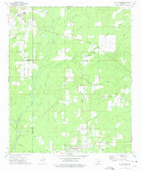
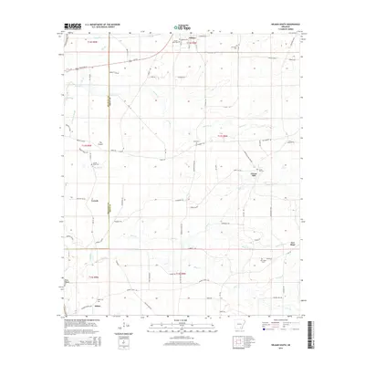
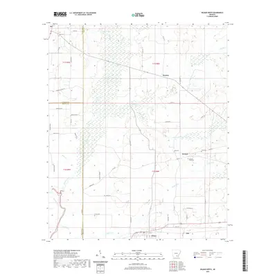
 1972 Wilmar South1975 Print · USGSSoutheast Arkansas in the early seventies remains a landscape of small river settlements and rural congregations. Genealogists and local historians can trace family locations through numerous sites like Turner Hills Cem, New Hope, and the Shiloh Ch area.
 - 1973 Map of Wilmar North, 1975 Print
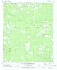
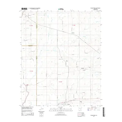
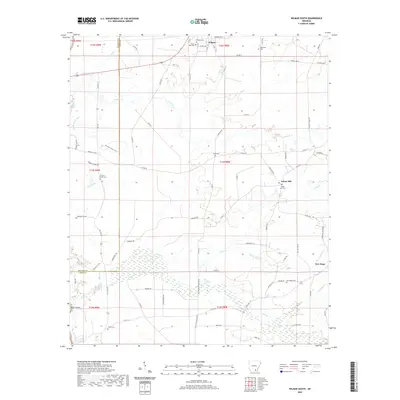
 1973 Wilmar North1975 Print · USGSThe rural timberlands of Drew and Bradley Counties are captured here in the early seventies, centered on the Saline River and its many tributaries. Genealogists can trace family roots through sites like Bethel Cemetery, Union Church, and the settlement of Barkada.
 - 1986 Map of Dumas
 1986 Dumas1986 Print · USGSSoutheast Arkansas in the mid-eighties shows a landscape defined by the winding Mississippi River and the Missouri Pacific Railroad corridor. Genealogists can trace family roots through river towns like Arkansas City and the rail-junction history of McGehee.2 unique versions available
 - 2011 Map of Wilmar North, 2011 Print
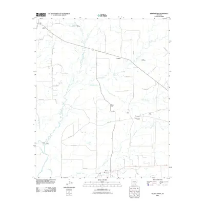 2011 Wilmar North2011 Print · USGSCovers Wilmar, including Barkada, Brandon, and other nearby areas
 - 2011 Map of Wilmar South, 2011 Print
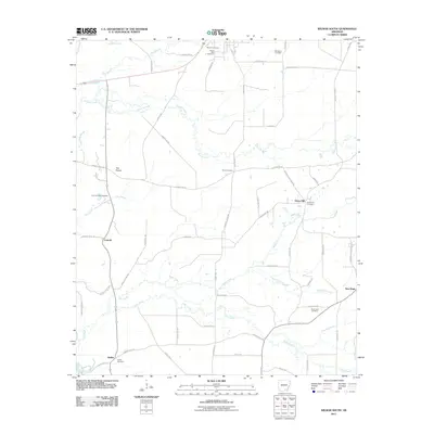 2011 Wilmar South2011 Print · USGSCovers Wilmar, including New Hope, Green Hill, and other nearby areas
 - 2014 Map of Wilmar South, 2014 Print
 2014 Wilmar South2014 Print · USGSCovers Wilmar, including New Hope, Green Hill, and other nearby areas
 - 2014 Map of Wilmar North, 2014 Print
 2014 Wilmar North2014 Print · USGSCovers Wilmar, including Barkada, Brandon, and other nearby areas
 - 2017 Map of Wilmar South, 2017 Print
 2017 Wilmar South2017 Print · USGSCovers Wilmar, including New Hope, Green Hill, and other nearby areas
 - 2017 Map of Wilmar North, 2017 Print
 2017 Wilmar North2017 Print · USGSCovers Wilmar, including Barkada, Brandon, and other nearby areas
 - 2020 Map of Wilmar North, 2020 Print
 2020 Wilmar North2020 Print · USGSCovers Wilmar, including Barkada, Brandon, and other nearby areas
 - 2020 Map of Wilmar South, 2020 Print
 2020 Wilmar South2020 Print · USGSCovers Wilmar, including New Hope, Green Hill, and other nearby areas
 - 2024 Map of Wilmar North, 2024 Print
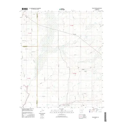
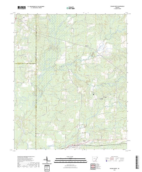 2024 Wilmar North2024 Print · USGSSoutheast Arkansas timberlands and creek bottoms come to life in this survey of the tri-county area of Cleveland, Bradley, and Drew. Genealogists can trace family footprints at Union Cem, Torian Cem, and the historic crossroads of Barkada and Wilmar.
 - 2024 Map of Wilmar South, 2024 Print
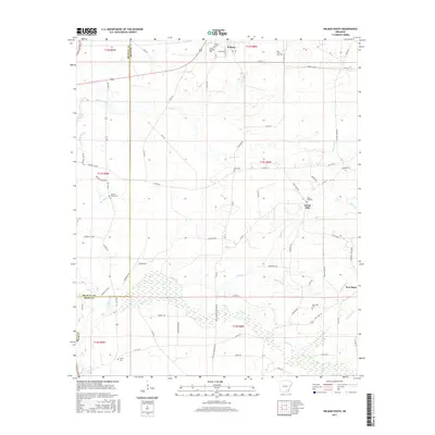
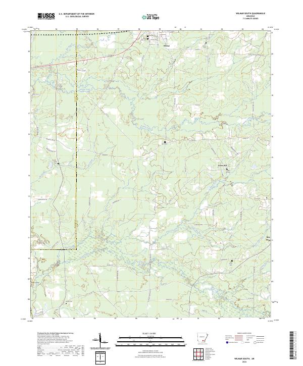 2024 Wilmar South2024 Print · USGSSoutheast Arkansas at the start of the 2020s shows a landscape defined by timberlands and historic rural settlements like Wilmar and Green Hill. Genealogists can trace family footprints through numerous local burial sites including Old Saline Cem, Corinth - Oneil Cem, and New Hope Cem.
End of results
Showing maps 1-15 of 15
Top cities near Wilmar
Frequently asked questions
- What are the different types of historical maps available for Wilmar?
- What is the oldest map of Wilmar?
- Where can I purchase historical maps of Wilmar for my home or office?
- Where can I download high-res historical maps of Wilmar?
- Are there historical topographic maps available for Wilmar?
- Is there historical aerial imagery available for Wilmar?
- Where are historical maps of Wilmar sourced from?