2000s (21st Century) Maps of Vilonia, Arkansas
Explore 10 historic maps of Vilonia from the 2000s (21st Century). These maps offer a rare glimpse into what life looked like during the 2000s — showing old roads, neighborhoods, homes, and landmarks that have changed or disappeared over time.
Whether you're researching your family's past, planning a metal detecting trip, or studying how Vilonia's landscape evolved across the 2000s, these high-resolution maps are a powerful tool for exploring the history of this region.
- Focus on a specific era: All maps on this page are from the 2000s, giving you a focused view of this time period.
- See what’s changed: Compare century-old streets, trails, and buildings to today's modern landscape using overlays and satellite layers.
- Research with precision: Use these maps for genealogy, historical research, land use analysis, or educational projects.
- View, download, or print: Maps are fully viewable online in high resolution, and can be downloaded or printed for your own records.
Start exploring Vilonia's history through authentic maps from the 2000s. This is your window into the past.
Vilonia, AR maps
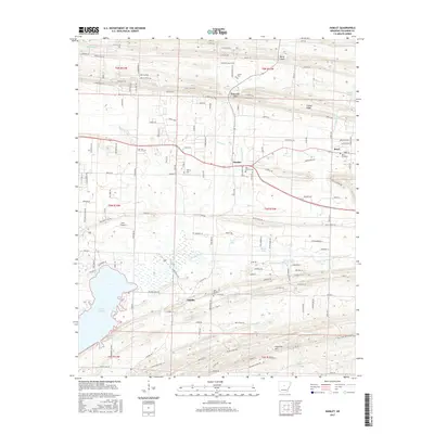
(10)- 2011 Map of Hamlet, 2011 Print
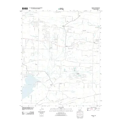 2011 Hamlet2011 Print · USGSCovers Vilonia, including Hamlet, Saltillo, and other nearby areas
 - 2011 Map of Vilonia, 2011 Print
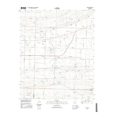
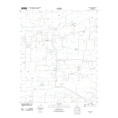 2011 Vilonia2011 Print · USGSCovers Vilonia, including Otto, Center Point, and other nearby areas
 - 2014 Map of Vilonia, 2014 Print
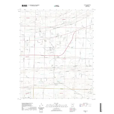
 2014 Vilonia2014 Print · USGSCovers Vilonia, including Otto, Center Point, and other nearby areas
 - 2014 Map of Hamlet, 2014 Print
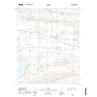
 2014 Hamlet2014 Print · USGSCovers Vilonia, including Hamlet, Saltillo, and other nearby areas
 - 2017 Map of Hamlet, 2017 Print
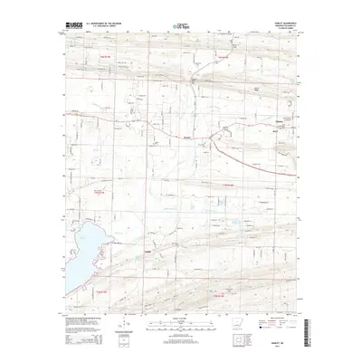
 2017 Hamlet2017 Print · USGSCovers Vilonia, including Hamlet, Saltillo, and other nearby areas
 - 2017 Map of Vilonia, 2017 Print
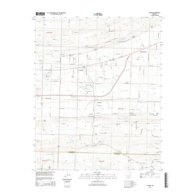
 2017 Vilonia2017 Print · USGSCovers Vilonia, including Otto, Center Point, and other nearby areas
 - 2020 Map of Vilonia, 2020 Print
 2020 Vilonia2020 Print · USGSCovers Vilonia, including Otto, Center Point, and other nearby areas
 - 2020 Map of Hamlet, 2020 Print
 2020 Hamlet2020 Print · USGSCovers Vilonia, including Hamlet, Saltillo, and other nearby areas
 - 2024 Map of Vilonia, 2024 Print
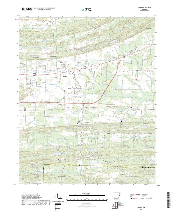 2024 Vilonia2024 Print · USGSVilonia and the surrounding Faulkner County countryside are shown in detail during a period of modern growth and rural preservation. Genealogists and local historians can trace family locations near Mount Olive Cem, Otto, and the many gaps of Cadron Ridge.
 - 2024 Map of Hamlet, 2024 Print
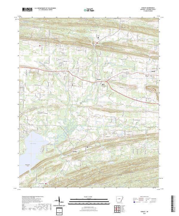 2024 Hamlet2024 Print · USGSIn this contemporary look at Faulkner County, the rural landscape near Saltillo and Hamlet reveals a deep network of family history. Genealogists can trace ancestral sites like Oak-Bowery Cem and Carter Cem tucked between landmarks like Cadron Ridge.
End of results
Showing maps 1-10 of 10
Top cities near Vilonia
- North Little Rock historical maps
- Conway historical maps
- Jacksonville historical maps
- Cabot historical maps
- Sherwood historical maps
- Maumelle historical maps
See more
Top neighborhoods of Vilonia
Frequently asked questions
- What are the different types of historical maps available for Vilonia?
- What is the oldest map of Vilonia?
- Where can I purchase historical maps of Vilonia for my home or office?
- Where can I download high-res historical maps of Vilonia?
- Are there historical topographic maps available for Vilonia?
- Is there historical aerial imagery available for Vilonia?
- Where are historical maps of Vilonia sourced from?