Old Maps of Charleston, Arkansas for Metal Detecting
Plan your next treasure hunt with 17 historic maps of Charleston. Find old homesites, ghost towns, trails, and gathering spots that may be lost to time — perfect for identifying promising metal detecting locations.
- Locate forgotten sites: Uncover places like long-lost settlements, abandoned rail lines, or gathering spots.
- Plan better hunts: Use map overlays combined with LiDAR or satellite views to narrow in on historically rich areas.
- Made for detectorists: Thousands of hobbyists use these maps to discover relics, coins, and hidden history.
Use these historic maps to boost your research and find new opportunities beneath the surface of Charleston.
Charleston, AR maps
(17)- 1890 Map of Fort Smith
 1890 Fort Smith1890 Print · USGSThe Arkansas-Indian Territory border was a landscape of rapid transition in the late nineteenth century. Genealogists and historians can trace early post offices like Jenny Lind P.O. and Oak Bower (Lavaca P.O.) or follow the path of the St. Louis and San Francisco Railroad.7 unique versions available
 - 1906 Map of Lavaca
 1906 Lavaca1906 Print · USGSThe Arkansas River valley comes to life in the late nineteenth century as railroads and ridges define the growing settlements of Sebastian County. Researchers can trace the original locations of Lavaca, Alma, and Vesta, or locate family-named landmarks like Butler's Knob and Arbuckles Island.
 - 1943 Map of Fort Smith
 1943 Fort Smith1943 Print · USGSFort Smith and the Arkansas River valley are shown here during the height of the Second World War as the region became a major military hub. Genealogists and researchers can locate several rural schools and churches, such as St Marys School and Pleasant Ridge Church and Cem, alongside industrial sites like the Strip Mine and Smelter.
 - 1946 Map of Fort Smith
 1946 Fort Smith1946 Print · USGSThe Arkansas-Oklahoma borderlands appear here in the mid-forties, as new reservoirs began to transform the river valleys. Genealogists and historians can trace rail-served towns from Muskogee to Fort Smith and locate landmarks like Camp Chaffee.
 - 1946 Map of Charleston, 1973 Print
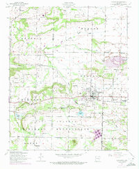 1946 Charleston1973 Print · USGSCharleston and its surrounding prairies appear here at the intersection of rail and military expansion during the mid-twentieth century. Genealogists can locate family burial sites like Nixon and Killings, or trace the grounds of the Rosenwall School and Fort Chaffee.2 unique versions available
 - 1947 Map of Lavaca, 1954 Print
 1947 Lavaca1954 Print · USGSThe Arkansas River valley in the late 1940s reveals a landscape of growing energy production and military expansion. Genealogists can trace family roots through Nixon Cem, Harmony Ch, and the streets of Charleston and Lavaca.
 - 1948 Map of Charleston
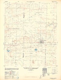 1948 Charleston1948 Print · USGSFranklin and Sebastian counties appear here in the late 1940s, balancing a coal-mining economy with rural life. Family researchers can trace roots through Killings and Nixon cemeteries, or locate the old Rosenwall School and Ursula siding.2 unique versions available
 - 1965 Map of Fort Smith
 1965 Fort Smith1965 Print · USGSEastern Oklahoma and Western Arkansas are captured here during a period of massive post-war change as new reservoirs reshaped the river valleys. Genealogists and historians can trace the rail networks of the Midland Valley RR and find established communities like Stilwell, Sallisaw, and Stigler.
 - 1967 Map of Fort Smith
 1967 Fort Smith1967 Print · USGSThe Arkansas River valley and the foothills of the Ozarks are captured here during a period of significant military and industrial activity. Researchers can trace the sprawling bounds of Camp Chaffee and Camp Gruber or locate vanished rail stops along the Midland Valley RR.
 - 1978 Map of Fort Smith, 1979 Print
 1978 Fort Smith1979 Print · USGSThe Arkansas-Oklahoma borderlands in the late seventies show a landscape shaped by massive river reservoirs and sprawling military reservations. Trace the historic rail lines of the Missouri Pacific RR and locate regional landmarks like Fort Gibson, Tenkiller Ferry Lake, and Barling.2 unique versions available
 - 1978 Map of Fort Smith, 1979 Print
 1978 Fort Smith1979 Print · USGSThe Arkansas-Oklahoma borderlands in the late seventies show a region defined by river navigation, coal mining, and military expansion. You can trace industrial footprints like the Strip Mines and the vast Fort Chaffee Military Reservation.2 unique versions available
 - 1987 Map of Charleston, 1988 Print
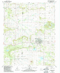 1987 Charleston1988 Print · USGSFranklin and Sebastian Counties are captured here in the late eighties, showing the growth of Charleston alongside active energy extraction. Researchers can locate numerous family burial grounds like Morrow Cem and Nixon Cem or trace the northern limits of the Fort Chaffee Military Reservation.
 - 2011 Map of Charleston, 2011 Print
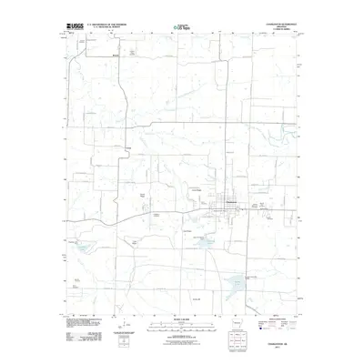 2011 Charleston2011 Print · USGSFranklin County's western reaches are captured here in the early twenty-first century, centered on the community of Charleston and the northern edge of Fort Chaffee. Local historians can trace family roots through numerous sites like Singleton Cemetery, Nixon Cemetery, and the settlement at Ursula.
 - 2014 Map of Charleston, 2014 Print
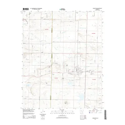 2014 Charleston2014 Print · USGSCharleston and the Sebastian-Franklin county line are shown here in the mid-2010s, revealing a landscape rich in family history and rural geography. Genealogists can trace numerous burial sites such as Sacred Heart Cem, Singleton Cem, and Hickory Ridge Cem across the countryside.
 - 2017 Map of Charleston, 2017 Print
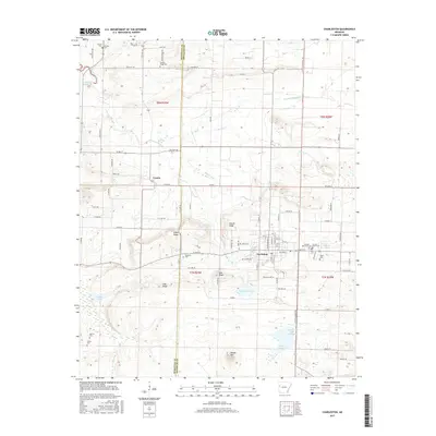 2017 Charleston2017 Print · USGSThis Arkansas landscape at the Sebastian and Franklin county line features the hub of Charleston and the community of Ursula. Genealogists can trace family roots through numerous sites like Sacred Heart Cem, Morrow Cem, and Parks Cem.
 - 2020 Map of Charleston, 2020 Print
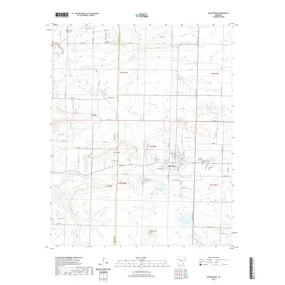 2020 Charleston2020 Print · USGSCharleston and the surrounding rural uplands of Franklin and Sebastian Counties are documented here as they appeared in the early twenty-first century. Genealogists and historians can trace family locations through numerous sites such as Hickory Ridge Cem, Parks Cem, and the settlement at Ursula.
 - 2024 Map of Charleston, 2024 Print
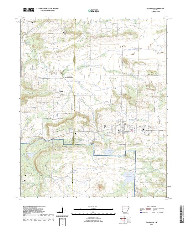 2024 Charleston2024 Print · USGSThe town of Charleston and its intersection with the Fort Chaffee military grounds are mapped here in the early twenty-first century. Researchers can trace family sites at Sacred Heart Cem or locate landmarks like Potato Hill and Charleston Lake.
End of results
Showing maps 1-17 of 17
Top cities near Charleston
- Fort Smith historical maps
- Greenwood historical maps
- Alma historical maps
- Barling historical maps
- Booneville historical maps
- Ozark historical maps
See more
Frequently asked questions
- What are the different types of historical maps available for Charleston?
- What is the oldest map of Charleston?
- Where can I purchase historical maps of Charleston for my home or office?
- Where can I download high-res historical maps of Charleston?
- Are there historical topographic maps available for Charleston?
- Is there historical aerial imagery available for Charleston?
- Where are historical maps of Charleston sourced from?