2000s (21st Century) Maps of Denning, Arkansas
Explore 10 historic maps of Denning from the 2000s (21st Century). These maps offer a rare glimpse into what life looked like during the 2000s — showing old roads, neighborhoods, homes, and landmarks that have changed or disappeared over time.
Whether you're researching your family's past, planning a metal detecting trip, or studying how Denning's landscape evolved across the 2000s, these high-resolution maps are a powerful tool for exploring the history of this region.
- Focus on a specific era: All maps on this page are from the 2000s, giving you a focused view of this time period.
- See what’s changed: Compare century-old streets, trails, and buildings to today's modern landscape using overlays and satellite layers.
- Research with precision: Use these maps for genealogy, historical research, land use analysis, or educational projects.
- View, download, or print: Maps are fully viewable online in high resolution, and can be downloaded or printed for your own records.
Start exploring Denning's history through authentic maps from the 2000s. This is your window into the past.
Denning, AR maps
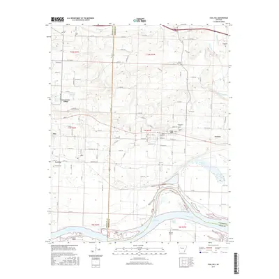
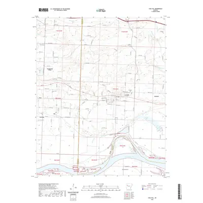
(10)- 2011 Map of Coal Hill, 2011 Print
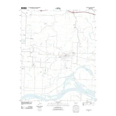 2011 Coal Hill2011 Print · USGSCovers Denning, including Coal Hill, Altus, and other nearby areas
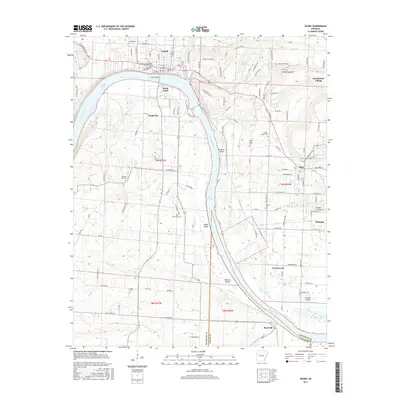
 - 2011 Map of Ozark, 2011 Print
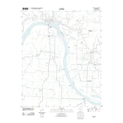 2011 Ozark2011 Print · USGSCovers Denning, including Ozark, Altus, and other nearby areas
 - 2014 Map of Ozark, 2014 Print
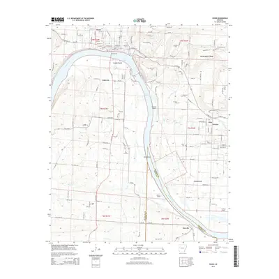 2014 Ozark2014 Print · USGSCovers Denning, including Ozark, Altus, and other nearby areas
 - 2014 Map of Coal Hill, 2014 Print
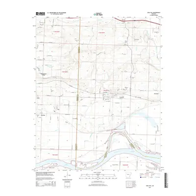 2014 Coal Hill2014 Print · USGSCovers Denning, including Coal Hill, Altus, and other nearby areas
 - 2017 Map of Coal Hill, 2017 Print
 2017 Coal Hill2017 Print · USGSCovers Denning, including Coal Hill, Altus, and other nearby areas
 - 2017 Map of Ozark, 2017 Print
 2017 Ozark2017 Print · USGSCovers Denning, including Ozark, Altus, and other nearby areas
 - 2020 Map of Ozark, 2020 Print
 2020 Ozark2020 Print · USGSCovers Denning, including Ozark, Altus, and other nearby areas
 - 2020 Map of Coal Hill, 2020 Print
 2020 Coal Hill2020 Print · USGSCovers Denning, including Coal Hill, Altus, and other nearby areas
 - 2024 Map of Ozark, 2024 Print
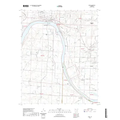
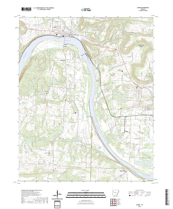 2024 Ozark2024 Print · USGSThe riverfront and rolling hills of Franklin County come into focus in this contemporary survey of the Ozark region. Researchers can trace family history through numerous rural sites like Nickles Chapel Cem and Pond Creek Cem, or explore the limits of Wiederkehr Village and Altus.
 - 2024 Map of Coal Hill, 2024 Print
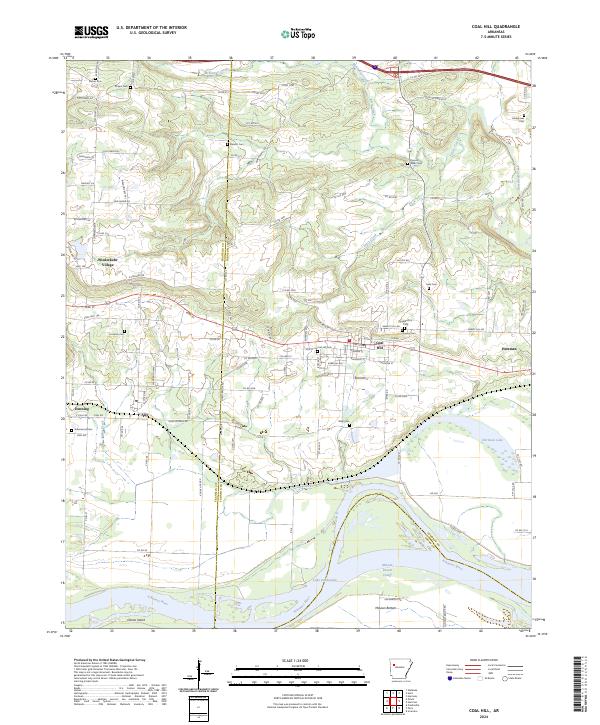 2024 Coal Hill2024 Print · USGSThe Arkansas River valley near Coal Hill comes into focus in this recent survey of Johnson and Franklin Counties. Family historians can locate numerous burial grounds like Hardgraves Cem and Possum Walk Cem, while following the river downstream past Okane Island and McLean Bottom.
End of results
Showing maps 1-10 of 10
Top cities near Denning
- Clarksville historical maps
- Ozark historical maps
- Paris historical maps
- Coal Hill historical maps
- Altus historical maps
- Hartman historical maps
See more
Frequently asked questions
- What are the different types of historical maps available for Denning?
- What is the oldest map of Denning?
- Where can I purchase historical maps of Denning for my home or office?
- Where can I download high-res historical maps of Denning?
- Are there historical topographic maps available for Denning?
- Is there historical aerial imagery available for Denning?
- Where are historical maps of Denning sourced from?