Old Maps of Avant, Arkansas for Genealogy
Trace your family roots with 13 historic maps of Avant. These high-res maps reveal old neighborhoods, homesites, landmarks, and streets — helping you uncover where your ancestors lived and how the area evolved over time.
- Explore historic neighborhoods: Identify where your relatives may have lived in the 1800s or 1900s.
- Compare maps over time: Trace the changes in streets, buildings, and landmarks for multi-generational research.
- Perfect for genealogy & ancestry research: Used by family historians and researchers to map out lineage and migration.
These maps are an incredible resource for exploring your personal connection to Avant's past.
Avant, AR maps
(13)- 1890 Map of Hot Springs
 1890 Hot Springs1890 Print · USGSThe Ouachita and Fourche La Fave river valleys are mapped here in the late nineteenth century, showing a landscape of isolated mountain settlements. Researchers can trace early family sites near Buckville, Cedar Glades, and the nascent streets of Hot Springs.
 - 1894 Map of Hot Springs
 1894 Hot Springs1894 Print · USGSThe thermal waters of Hot Springs and the surrounding Ouachita wilderness appear here in the decade before the region’s twentieth-century expansion. Genealogists can trace early homesteading locations and vanished rural hubs like Buckville, Cedar Glades, and Wards Crossing.5 unique versions available
 - 1955 Map of Little Rock, 1978 Print
 1955 Little Rock1978 Print · USGSCentral Arkansas in the mid-fifties exhibits a landscape of growing cities, massive military installations, and mountain reservoirs. Genealogists and historians can trace the industrial Bauxite Mines, regional rail lines, and local landmarks like Antioch Church.
 - 1956 Map of Little Rock
 1956 Little Rock1956 Print · USGSCentral Arkansas in the mid-fifties shows a landscape defined by burgeoning military bases and the timber-and-mineral wealth of the Ouachitas. Genealogists and researchers can trace old rail lines like the Missouri Pacific and find established communities such as Bauxite, Sheridan, and Mabelvale.
 - 1960 Map of Little Rock
 1960 Little Rock1960 Print · USGSCentral Arkansas in the late fifties shows a landscape of growing military bases and massive new reservoirs. Local historians can trace the mid-century expansion of Little Rock and Hot Springs alongside the industrial works at Bauxite and the Pine Bluff Arsenal.
 - 1962 Map of Avant, 1963 Print
 1962 Avant1963 Print · USGSGarland County's interior is seen here in the early sixties as the waters of Lake Ouachita reshaped the local landscape. Genealogists can trace family roots at Avant (Buckville PO) and find cemetery sites like Caldwell Cem and Mount Tabor Cem.3 unique versions available
 - 1964 Map of Little Rock
 1964 Little Rock1964 Print · USGSCentral Arkansas in the mid-sixties is a landscape of mountain ridges, industrial rail lines, and growing military hubs. Researchers can trace the development of Bauxite and Hot Springs or locate rural landmarks like Sparkman and the Pine Bluff Arsenal.
 - 1982 Map of Lake Ouachita
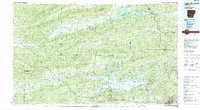 1982 Lake Ouachita1982 Print · USGSThe Ouachita Mountains of West Central Arkansas are shown here during the early eighties, a time of established recreation and protected timberlands. Researchers can locate small communities like Buckville (PO) and Pencil Bluff or trace the drainage of the Fourche La Fave River.
 - 2011 Map of Avant, 2011 Print
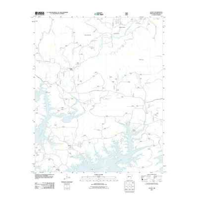 2011 Avant2011 Print · USGSThe northern reaches of Lake Ouachita in Garland County are captured here in the early twenty-first century. Researchers can locate several family cemeteries and water access points like Irons Fork Landing, Caldwell Cemetery, and the settlement of Avant.
 - 2014 Map of Avant, 2014 Print
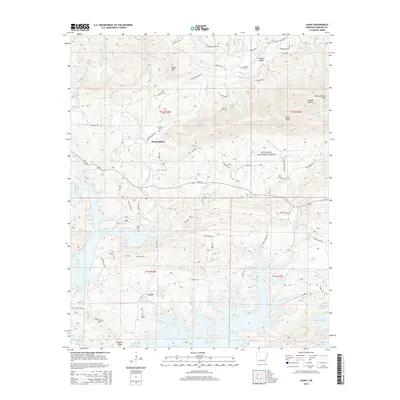 2014 Avant2014 Print · USGSAvant and the upper reaches of Lake Ouachita are shown here in the mid-2010s, where the river valley meets the mountains. Genealogists can locate several local burial grounds including Avant Cem, Daley Cem, and Mt Tabor Cem among the peaks and hollows.
 - 2017 Map of Avant, 2017 Print
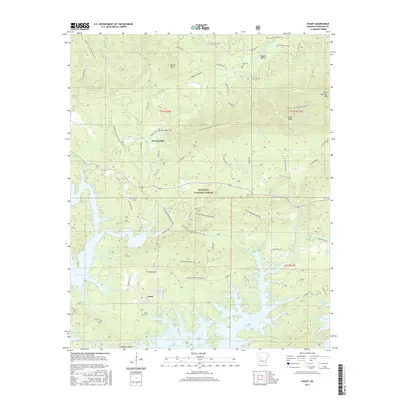 2017 Avant2017 Print · USGSThe northern shores of Lake Ouachita are captured here in the twenty-first century, showing the intersection of forest service land and local settlements. Genealogists and hikers can trace the geography around Avant, Mount Tabor Cem, and the winding Ouachita National Recreation Trail.
 - 2020 Map of Avant, 2020 Print
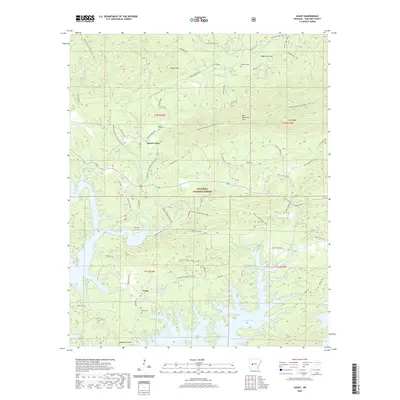 2020 Avant2020 Print · USGSGarland County is defined by the winding shores of Lake Ouachita and the dense Ouachita National Forest in the 2020s. Researchers can locate family sites like Avant Cem and Mount Tabor Cem or trace the Ouachita National Recreation Trail through the timber.
 - 2024 Map of Avant, 2024 Print
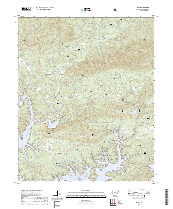 2024 Avant2024 Print · USGSGarland County, Arkansas, is captured here in the present day as the southern forest meets the shoreline of a major reservoir. Genealogists and local researchers can trace family landmarks like Mount Tabor Cemetery and Caldwell Cemetery or follow the path of Daley Creek to the lake.
End of results
Showing maps 1-13 of 13
Top cities near Avant
Frequently asked questions
- What are the different types of historical maps available for Avant?
- What is the oldest map of Avant?
- Where can I purchase historical maps of Avant for my home or office?
- Where can I download high-res historical maps of Avant?
- Are there historical topographic maps available for Avant?
- Is there historical aerial imagery available for Avant?
- Where are historical maps of Avant sourced from?