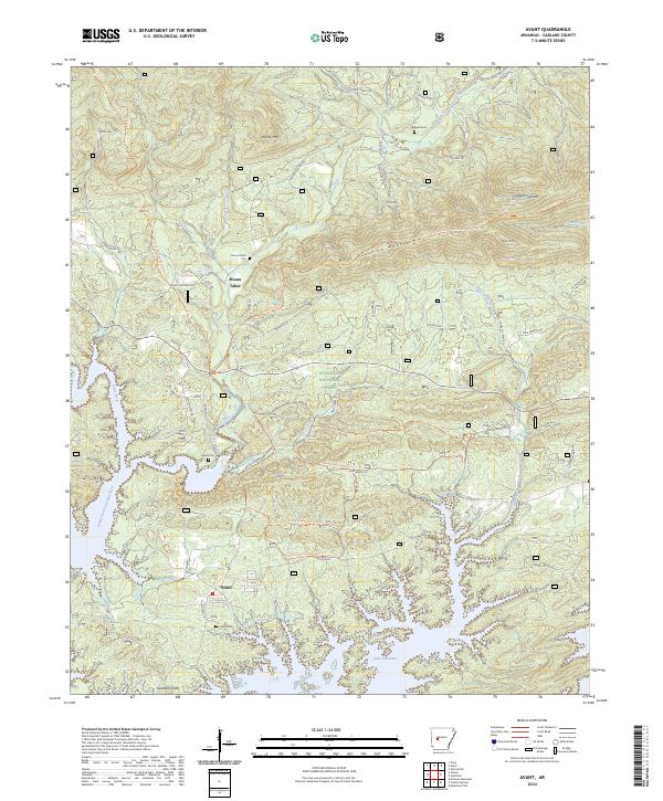
2024 Map of Avant
USGS Topo · Published 2024About this map
Avant and Mount Tabor are the primary settlements in this region of the Ouachita National Forest, where the landscape is defined by the expansive waters of Lake Ouachita. The terrain is characterized by the prominent ridge of Blue Ouachita Mountain and peaks like Pilot Knob and Round Mountain. Significant historical and genealogical detail is preserved through the numerous burial grounds scattered across the area, including Mount Tabor Cemetery, Avant Cemetery, Daily Cemetery, and Caldwell Cemetery. The drainage network, featuring the North Fork Ouachita River, Irons Fork, and Cedar Fourche Creek, illustrates the complex geography before it reaches the main lake body. Recreational development is evident through the presence of the Ouachita National Recreation Trail and the Possum Kingdom Bike Ride Trail, which wind through the forested slopes and along the northern lake shore.
Find a feature on this map
58 named features on this map. Tap any name to fly to it.
Don’t see what you’re looking for? This feature index may not catch every label — zoom into the map to look around manually.
Map Details
Editions of this 2024 Avant Map
This is the sole edition of this map. No revisions or reprints were ever made.
Other maps of this area

1890 · Hot Springs
USGS Topo · 1:125,000

1894 · Hot Springs
USGS Topo · 1:125,000

1955 · Little Rock
USGS Topo · 1:250,000

1956 · Little Rock
USGS Topo · 1:250,000

1960 · Little Rock
USGS Topo · 1:250,000

1962 · Crystal Springs
USGS Topo · 1:24,000

1962 · Avant
USGS Topo · 1:24,000

1962 · Fannie
USGS Topo · 1:24,000

1962 · Mc Graw Mountain
USGS Topo · 1:24,000

1964 · Little Rock
USGS Topo · 1:250,000