
1962 Map of Crystal Springs
USGS Topo · Published 1963About this map
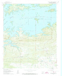
Lake Ouachita dominates the northern half of this landscape, its complex shoreline and islands reflecting the flooded valley of the Ouachita River. In the early 1960s, the area shows a clear division between the recreational waters of the reservoir and the heavily forested ridges of the Ouachita National Forest. Several established settlements persist near the water's edge, including Buckville and Crystal Springs, with family-history landmarks like Buckville Cem and Brooks Cem providing ties to the pre-inundation period. South of the water, the terrain rises sharply into Bear Mountain and Hickorynut Mountain, separating the lake from the more settled Crystal Valley. Here, local life is anchored by small institutions such as the Valley Sch, the Church of God, and the community of Bear, which sits tucked between the ridges near the banks of Bear Creek.
Find a feature on this map
29 named features on this map. Tap any name to fly to it.
Don’t see what you’re looking for? This feature index may not catch every label — zoom into the map to look around manually.
Map Details
Editions of this 1962 Crystal Springs Map
4 editions found
Other maps of this area

1890 · Hot Springs
USGS Topo · 1:125,000

1894 · Hot Springs
USGS Topo · 1:125,000

1955 · Little Rock
USGS Topo · 1:250,000

1956 · Little Rock
USGS Topo · 1:250,000

1960 · Little Rock
USGS Topo · 1:250,000

1962 · Avant
USGS Topo · 1:24,000

1962 · Fannie
USGS Topo · 1:24,000

1962 · Mc Graw Mountain
USGS Topo · 1:24,000

1964 · Little Rock
USGS Topo · 1:250,000

1966 · Pearcy
USGS Topo · 1:24,000