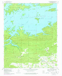
1962 Map of Crystal Springs
USGS Topo · Published 1978About this map
Lake Ouachita dominates the northern reaches of this landscape, its waters reaching into the valleys of the Ouachita National Forest following the mid-century creation of the reservoir. The topography is defined by the heavy ridges of Bear Mountain and Hickorynut Mountain, which separate the lake's southern bays from the settled valley floor. In the southwest, Crystal Springs serves as a local hub near Crystal Springs Landing, while the northern settlement of Buckville stands near its namesake Buckville Cem and Brooks Cem. The southern half of the map reveals a rural network of small landmarks, including the Social Hill Ch, Valley Sch, and Lowe Cem, illustrating the persistent community structures that remain tucked between the ridges and the wandering paths of Bear Creek and Rouse Creek.
Find a feature on this map
29 named features on this map. Tap any name to fly to it.
Don’t see what you’re looking for? This feature index may not catch every label — zoom into the map to look around manually.
Map Details
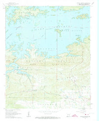
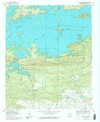
Editions of this 1962 Crystal Springs Map
4 editions found
Other maps of this area

1890 · Hot Springs
USGS Topo · 1:125,000

1894 · Hot Springs
USGS Topo · 1:125,000

1955 · Little Rock
USGS Topo · 1:250,000

1956 · Little Rock
USGS Topo · 1:250,000

1960 · Little Rock
USGS Topo · 1:250,000

1962 · Crystal Springs
USGS Topo · 1:24,000

1962 · Avant
USGS Topo · 1:24,000

1962 · Fannie
USGS Topo · 1:24,000

1962 · Mc Graw Mountain
USGS Topo · 1:24,000

1964 · Little Rock
USGS Topo · 1:250,000