
1962 Map of Avant
USGS Topo · Published 1963About this map
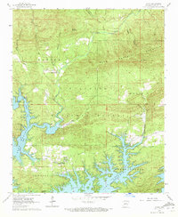
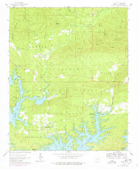
Lake Ouachita dominates the southern half of this 1962 landscape, its sprawling shoreline reaching into the deep valleys of the Ouachita National Forest. The map documents a critical period of land management and recreation development, evidenced by the Irons Fork Recreational Area and boat access points like Cedar Fourche Landing. This controlled inundation at an elevation of 578 feet reshaped the geography of Garland County, partially submerging the drainages of Cedar Fourche and Irons Fork.
Find a feature on this map
31 named features on this map. Tap any name to fly to it.
Don’t see what you’re looking for? This feature index may not catch every label — zoom into the map to look around manually.
Map Details
Editions of this 1962 Avant Map
3 editions found
Other maps of this area

1890 · Hot Springs
USGS Topo · 1:125,000

1894 · Hot Springs
USGS Topo · 1:125,000

1955 · Little Rock
USGS Topo · 1:250,000

1956 · Little Rock
USGS Topo · 1:250,000

1960 · Little Rock
USGS Topo · 1:250,000

1962 · Crystal Springs
USGS Topo · 1:24,000

1962 · Fannie
USGS Topo · 1:24,000

1962 · Mc Graw Mountain
USGS Topo · 1:24,000

1964 · Little Rock
USGS Topo · 1:250,000
1966 · Mountain Pine
USGS Topo · 1:24,000